A new wave buoy was deployed by the U.S. Army Corps of Engineers on April 1, approximately 30 miles east of Key West, Florida.
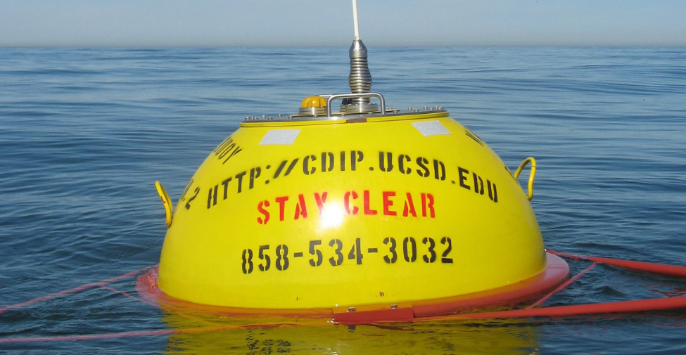
Picture of a wave buoy. Image Credit: Coastal Data Information Program (CDIP)
“This new wave buoy is filling data gaps in Florida Keys coastal waters. Located about 10 nautical miles south of Bahia Honda State Park, the buoy is providing data that will improve both the quality and value of our marine weather warnings and forecasts, and this will help keep boaters both informed and safe.” – Chip Kasper, Senior Forecaster-Marine Program Meteorologist, NOAA/National Weather Service Key West Florida.
This buoy will report local wave conditions such as wave height, wave period, wave direction, surface current and temperature every 30 minutes.
The data provided by this buoy is an important safety component to recreational as well as commercial boaters. Mariners need to know the true local conditions before heading out to sea. Access the buoy data on the SECOORA Marine Weather Portal (provided by SECOORA and Second Creek Consulting).
![]()
The buoy is operated and maintained by Scripps institution of oceanography as part of a nationwide Coastal Data Information Program (CDIP) located in La Jolla, California. Questions may be directed to www@cdip.ucsd.edu. SECOORA has partnered to help maintain the wave buoy.
Related news

President Biden Proposes Significant Budget Cuts to IOOS for 2025
President Biden’s recent 2025 budget proposal slashed the funding allocated for the Integrated Ocean Observing System (IOOS) by 76%, which would effectively shut down coastal and ocean observing efforts.

Webinar: NOAA Resources to Help Coastal Communities Understand Flood Risk
Join us Wednesday, March 27th at 12 PM Eastern Time for SECOORA's Coastal Observing in Your Community Webinar Series to hear from Doug Marcy with the NOAA Office for Coastal Management.

Hiring: SCDRP Program Coordinator
The Southeast & Caribbean Disaster Resilience Partnership (SCDRP) is seeking a part-time Program Coordinator. Applications are due by April 1st, 2024.