News
News
November 9, 2018
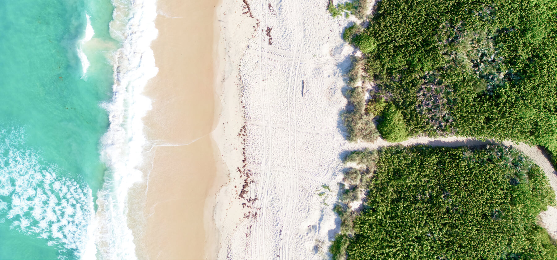
Florida Red Tide: How SECOORA is Helping
Currently, there is an unprecedented and persistent harmful algal bloom (HAB) impacting both coasts of Florida. The Florida HAB organism, Karenia brevis (commonly known as red tide) creates a toxin that is threatening to organism health. Read how we are supporting observing and modeling work to track the bloom.
Uncategorized
October 25, 2018
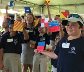
SECOORA and GCOOS Teamed to Inspire Future Ocean Experts at the St. Petersburg Science Festival
SECOORA and Gulf of Mexico Coastal Ocean Observing System (GCOOS) partnered to teach the community about navigation, ports, and ocean observing at the St. Petersburg Science Festival, a two day event that took place October 19-20, 2018, in St. Petersburg, FL.
News
October 9, 2018
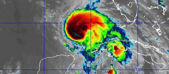
Eyes on Hurricane Michael: Data Resources
SECOORA is watching Hurricane Michael as he moves in the Gulf of Mexico. Our assets are providing near real-time information the storm. Access the data resources page here.
News
September 21, 2018
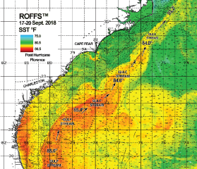
ROFFS™ Monitoring Ocean Conditions before and after Hurricane Florence
ROFFS™ has analyzed the ocean conditions directly before and after Florence along the east coast of the United States from northern Florida to Virginia. They focused mainly on the Sea Surface Temperature and Ocean Color/Chlorophyll data.
News
September 21, 2018
Webinar | Observations to Understand Life in the Ocean: Linking IOOS Regional Efforts with the Marine Biodiversity Observation Network (MBON)
The Marine Biodiversity Observation Network (MBON) links groups engaged in ocean observation to track changes in the diversity and abundance of life in the sea. Please take your lunch break with SECOORA and join in on the dialogue to advance an integrated system to observe life in the sea. Presenter: Frank E. Muller-Karger, College of Marine Science, University of South Florida...
News
September 11, 2018
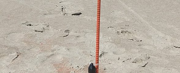
North Carolina Members are Collecting Data Prior to Hurricane Florence
As Florence is projected to make landfall near the Carolinas, SECOORA Members in North Carolina and their partners are collecting critical data ahead of the storm. The data collected will help monitor storm surge, dune erosion, overwash and more.
News
September 11, 2018
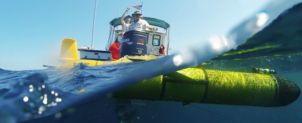
Underwater Gliders Chasing Hurricane Florence
Two gliders were deployed in the South Atlantic Bight ahead of Hurricane Florence making her way to the U.S. eastern seaboard. These gliders will gather vital oceanographic information before the potential life-threatening hurricane
News
September 10, 2018
Eyes on Hurricane Florence: Data Resources
SECOORA will be watching Hurricane Florence as she traverses through the South Atlantic Bight. Access the Florence data page here.
News
August 31, 2018
All IOOS Regional Associations are now NOAA-certified
NOAA has now certified all 11 Integrated Ocean Observing System (IOOS) Regional Associations as Regional Information Coordination Entities. Data coming from the IOOS regions now adheres to common federal collection, storage and management standards. In other words, it can be integrated with other data, and help make "big data" research and development possible. Read More
News
August 23, 2018
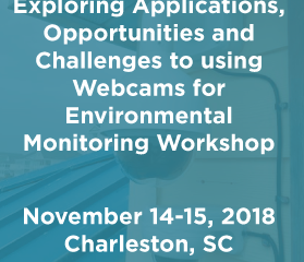
Registration Open: Web Cameras for Environmental Monitoring Workshop
Registration is open for the Exploring Applications, Opportunities and Challenges to using Webcams for Environmental Monitoring Workshop. The workshop will focus on web camera data, its challenges, and the best practices for utilizing camera data for environmental monitoring. Click here to register (Deadline November 1, 2018) Access Workshop Website