GIS Day 2014
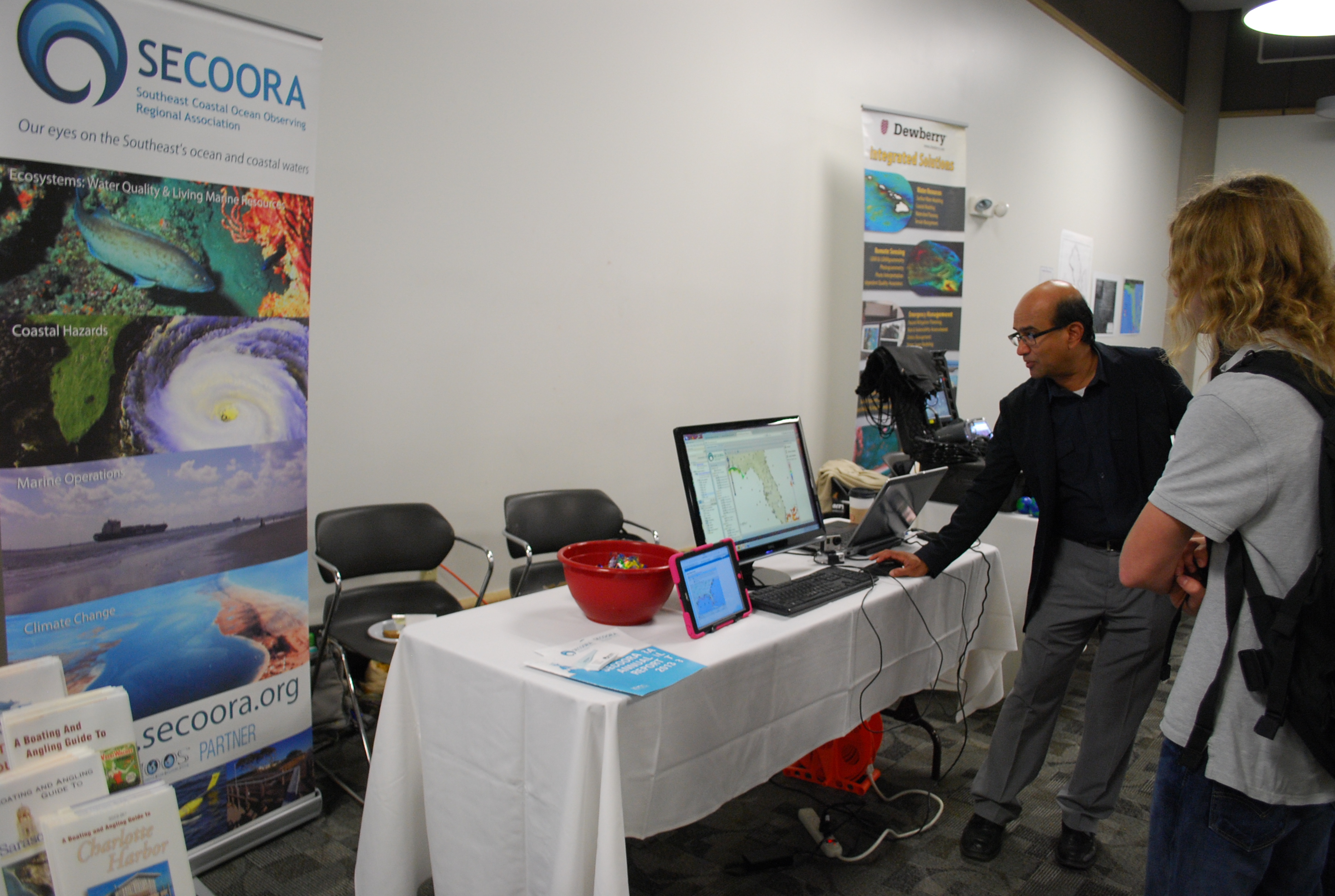
This year SECOORA showcased their interactive maps during GIS day, November 18, 2014 at University of South Florida St. Petersburg. SECOORA teamed with member organizations, such as FWRI, to educate children in middle and high school about real-world applications of GIS.
Students learned how to navigate SECOORA’s Interactive Regional Map, Marine Weather Portal, Biological Habitat/Physical Data Viewer, Beach Water Quality Model and the newly released Climatology Tool. We look forward to participating again next year.
All Images Property of SECOORA
This year SECOORA showcased their interactive maps during GIS day, November 18, 2014 at University of South Florida St. Petersburg. SECOORA teamed with member organizations, such as FWRI, to educate children in middle and high school about real-world applications of GIS.
Students learned how to navigate SECOORA’s Interactive Regional Map, Marine Weather Portal, Biological Habitat/Physical Data Viewer, Beach Water Quality Model and the newly released Climatology Tool. We look forward to participating again next year.
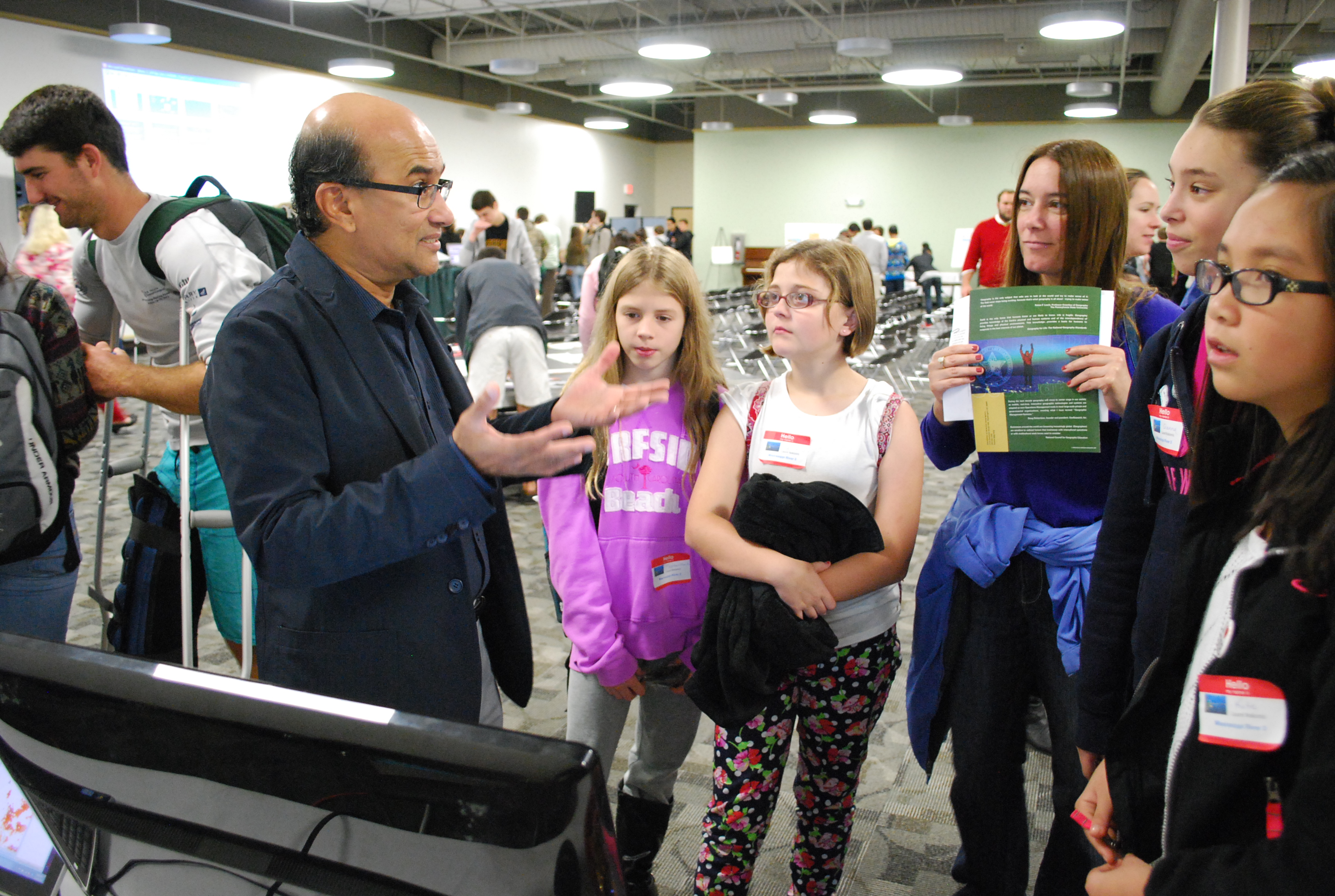
All Images Property of SECOORA
Related news

New High Frequency Radar at the Dry Tortugas National Park Improves Ocean Surface Current Measurements Across the Straits of Florida
A new CODAR Low-Power SeaSonde HFR has been deployed by the University of South Florida at Fort Jefferson on Garden Key to measure surface currents to improve understanding and prediction of the Gulf of Mexico Loop Current.

President Biden Proposes Significant Budget Cuts to IOOS for 2025
President Biden’s recent 2025 budget proposal slashed the funding allocated for the Integrated Ocean Observing System (IOOS) by 76%, which would effectively shut down coastal and ocean observing efforts.

Webinar: NOAA Resources to Help Coastal Communities Understand Flood Risk
Join us Wednesday, March 27th at 12 PM Eastern Time for SECOORA's Coastal Observing in Your Community Webinar Series to hear from Doug Marcy with the NOAA Office for Coastal Management.