Coastal communities throughout the southeast U.S. face threats from high tide flooding, storm surge, and sea-level rise. Flooding can impact daily commutes, emergency planning efforts during tropical storms and hurricanes, and strains public works infrastructure. The Southeast Coastal Ocean Observing Regional Association (SECOORA) is investing in water level infrastructure for coastal communities that are facing these flood threats. A new regional water level network will provide localized flooding alerts and support longer-term sea-level rise monitoring in North Carolina, South Carolina, Georgia, and Florida.


Images from left to right: a water level sensor in North Carolina (left), Dr. Nicole Elko, ASBPA (middle-left), Darold Shaefer, Colington Creek Inn (middle-right), and Dr. Mike Muglia installing a water level sensor (right). Image Credit: Dr. Mike Muglia
The SECOORA team includes the American Shore and Beach Preservation Association (ASBPA), Hohonu, Coastal Carolina University, Florida Atlantic University, Georgia Tech, and Florida International University. Each team will install and operate low-cost water level sensors in coordination with municipalities across the four-state region. Over 200 sensors will be deployed during the five-year project timeframe and a mobile-friendly app will be developed that will allow anyone to view water level alerts based on their location.
“Community demand for local water-level data has exceeded expectations.” says Nicole Elko, ASBPA, “Managers have elected to install sensors on their estuarine shorelines, where chronic and episodic flooding is most severe.”
Dr. Nicole Elko, Science Director for the American Shore and Beach Preservation Association (ASBPA)
This project will provide real-time high-resolution and high-frequency flood data that coastal communities can use to plan for and respond to flood emergencies, and design resilience and adaptation strategies for the long-term effects of sea-level rise and the projected increase in flooding.
“These real-time, hyper-local data streams are extremely valuable for emergency planning and response, in the short term” says Kim Cobb, Climate Scientist and Professor at Georgia Tech. “And in the long term, these data can be combined with models of future sea level rise to get better estimates of local flood risk and aid resilience planning.”
Dr. Kim Cobb, Georgia Power Chair and ADVANCE Professor at Georgia Tech
This Southeast Water Level Initiative was formed in July 2021. To implement this initiative, SECOORA has teamed up with partners from Coastal Carolina University, Florida Atlantic University, Florida International University, The American Shore and Preservation Association, Georgia Tech University, and Hohonu. As the water level sensors are installed, data will become available online, and ultimately data will be accessible on SECOORA’s website. This data will be open-source, free, and publicly available for download.
Thank you to our Water Level Initiative Partners:
Related news
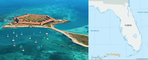
New High Frequency Radar at the Dry Tortugas National Park Improves Ocean Surface Current Measurements Across the Straits of Florida
A new CODAR Low-Power SeaSonde HFR has been deployed by the University of South Florida at Fort Jefferson on Garden Key to measure surface currents to improve understanding and prediction of the Gulf of Mexico Loop Current.
President Biden Proposes Significant Budget Cuts to IOOS for 2025
President Biden’s recent 2025 budget proposal slashed the funding allocated for the Integrated Ocean Observing System (IOOS) by 76%, which would effectively shut down coastal and ocean observing efforts.
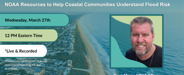
Webinar: NOAA Resources to Help Coastal Communities Understand Flood Risk
Join us Wednesday, March 27th at 12 PM Eastern Time for SECOORA's Coastal Observing in Your Community Webinar Series to hear from Doug Marcy with the NOAA Office for Coastal Management.

