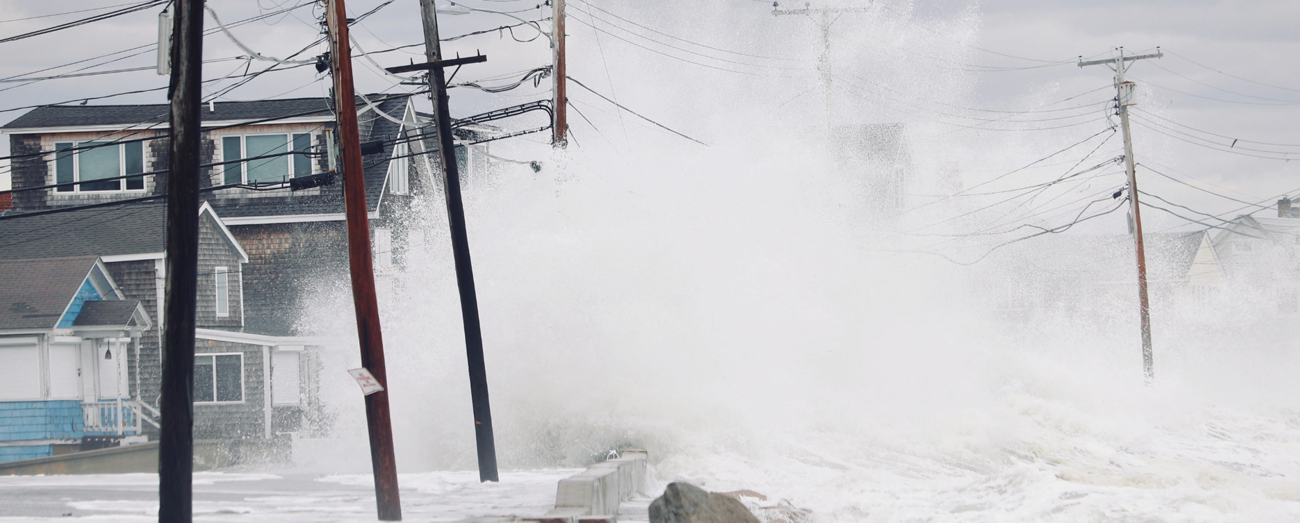
Coastal communities worldwide are struggling to manage increasing flooding, erosion, and sea level rise. While the forcing for these threats is often global, the impacts vary significantly at the local scale necessitating high resolution data, models, and predictive tools to support local decision-making.
Integrated Ocean Observing System (IOOS) Regional Associations are well suited to work with local and national partners to meet community needs. The IOOS Regional Associations system provides a robust and tailored observing and modeling infrastructure for decision support.
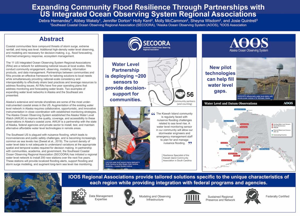
In May, Debra Hernandez, SECOORA, presented a poster at the Ocean Visions 2021 Summit on how IOOS Regional Associations entities are working to support local needs related to coastal flooding. The examples provided were the water level projects from SECOORA and the Alaska Ocean Observing System (AOOS).
In addition to a poster presentation, a short 3 minute video was recorded for attendees to view. Watch the presentation below or click here for the script to learn more.
Related news

New High Frequency Radar at the Dry Tortugas National Park Improves Ocean Surface Current Measurements Across the Straits of Florida
A new CODAR Low-Power SeaSonde HFR has been deployed by the University of South Florida at Fort Jefferson on Garden Key to measure surface currents to improve understanding and prediction of the Gulf of Mexico Loop Current.

President Biden Proposes Significant Budget Cuts to IOOS for 2025
President Biden’s recent 2025 budget proposal slashed the funding allocated for the Integrated Ocean Observing System (IOOS) by 76%, which would effectively shut down coastal and ocean observing efforts.

Webinar: NOAA Resources to Help Coastal Communities Understand Flood Risk
Join us Wednesday, March 27th at 12 PM Eastern Time for SECOORA's Coastal Observing in Your Community Webinar Series to hear from Doug Marcy with the NOAA Office for Coastal Management.