SECOORA is honored to announce the 2019 SECOORA Data Challenge winners.
It was not an easy decision. There were many innovative submissions that used web camera data to solve problems. The two projects chosen clearly communicated benefits to specific user groups, expanding prospective use of web camera data for environmental monitoring.
Meet the winners and learn about their projects.
Category 1 – Undergraduate
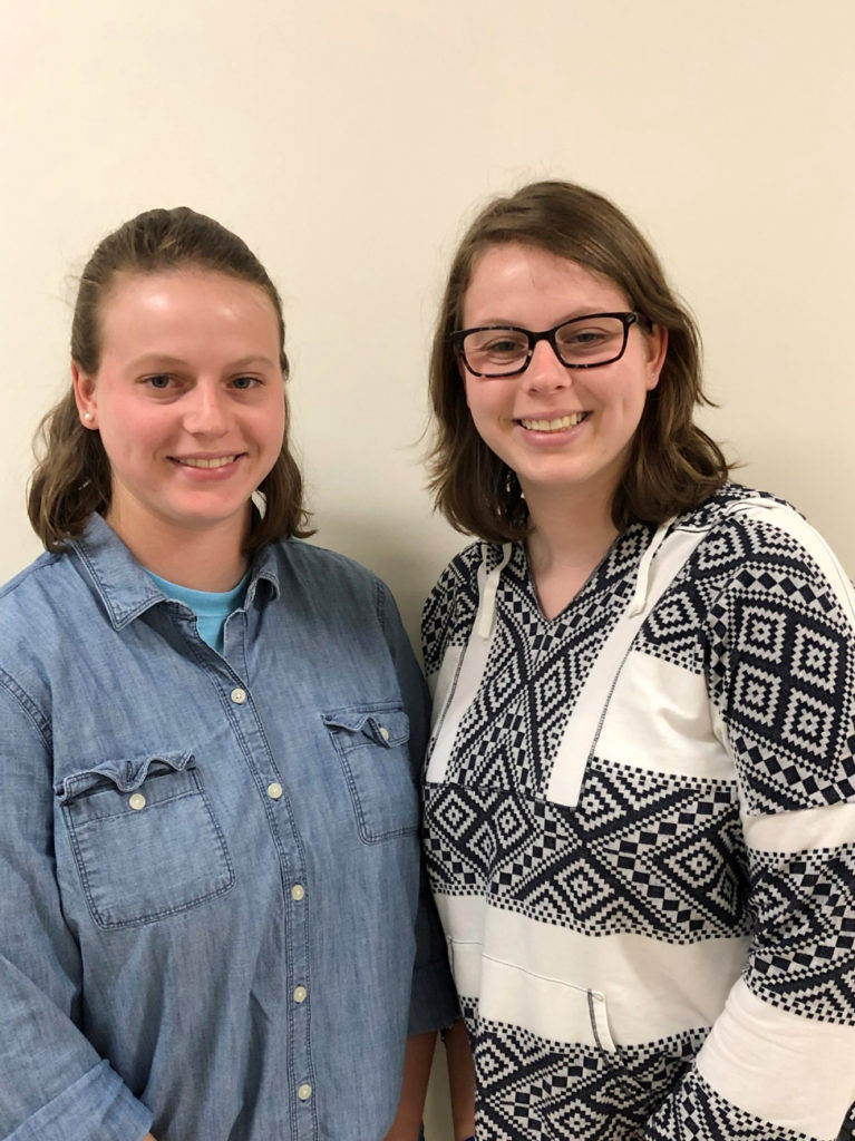
Using Webcams to Capture Timing and Duration of Dune Erosion Events
Team members: Deanna Edwing and Kelsea Edwing, University of North Carolina Wilmington
“Our team is very honored to have been selected to receive the 2019 data challenge award. Working with SECOORA and their WebCAT cameras will provide us with the resources, support, and opportunity to create and share our dune erosion algorithm with potential end-users. This algorithm will provide a valuable method for quickly detecting the timing and duration of dune erosion events and providing additional validation data for coastal erosion models developed by the USGS, NOAA, and others. We are extremely grateful for this opportunity and are excited to work with SECOORA on this project.”
Project Abstract
As the coast becomes increasingly populated, accurate models for wave run-up and dune erosion have become a necessity to ensure coastal communities can be prepared for hazardous events. The SECOORA WebCAT footage provides the opportunity to monitor water level throughout an ensuing hazard, providing continuous data about the maximum water-level and insights into storm processes. The cameras allow dune-erosion to be determined without a reliance upon before-and after event surveying.
This project addresses the need for accurate coastal hazard data to build and further validate hazard models by developing an algorithm that will automatically identify maximum water-levels at hourly intervals for any WebCAT footage to determine if wave run-up reached or breached the dunes, how many times the water level reached the duneline, and the duration of a dune erosion event. The algorithm developed is expected to be applicable to the large number of existing webcams along the coast which were originally intended for surf or weather monitoring. The outcome of this project will generate methods and datasets that scientists and agencies can use to further validate coastal hazard models.
Category 2 – Other
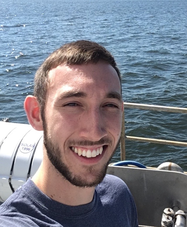
A Tool to Remotely Calibrate Coastal Web Cameras
Project Lead: Matthew Conlin, University of Florida
“I am ecstatic that my project has been chosen as a winner of the SECOORA Data Challenge, and I look forward to creating a tool which will be useful for local and federal stakeholders as well as academic coastal researchers.”
Project Abstract
Specially-designed camera systems have been used for decades to study coastal morphologic processes such as shoreline change rates. However, the large existing network of web-cameras setup to record beach and nearshore conditions (surfcams) has largely not been exploited for a similar purpose, principally because these cameras have not been calibrated.
This project will create a publicly-available software tool which will transform surfcams within the WebCAT network into quantitative coastal monitoring tools through a remote camera calibration. The tool, which will use lidar observations to complete the remote calibration, will be tested and validated against a traditional calibration approach before online dissemination. This project will help meet research objectives of multiple federal agencies and could benefit academic coastal researchers by increasing the number of sites for which coastal imagery usable for morphological research purposes is available.
Related news

New High Frequency Radar at the Dry Tortugas National Park Improves Ocean Surface Current Measurements Across the Straits of Florida
A new CODAR Low-Power SeaSonde HFR has been deployed by the University of South Florida at Fort Jefferson on Garden Key to measure surface currents to improve understanding and prediction of the Gulf of Mexico Loop Current.

President Biden Proposes Significant Budget Cuts to IOOS for 2025
President Biden’s recent 2025 budget proposal slashed the funding allocated for the Integrated Ocean Observing System (IOOS) by 76%, which would effectively shut down coastal and ocean observing efforts.

Webinar: NOAA Resources to Help Coastal Communities Understand Flood Risk
Join us Wednesday, March 27th at 12 PM Eastern Time for SECOORA's Coastal Observing in Your Community Webinar Series to hear from Doug Marcy with the NOAA Office for Coastal Management.