News
News
October 17, 2022
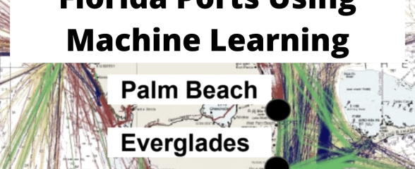
Predicting High Cross-Currents Near South Florida Ports Using Machine Learning
This project developed a prototype Machine Learning algorithm to predict the probability of high cross-currents near the Port of Miami – one of the busiest ports in the Southeast.
News
September 27, 2022
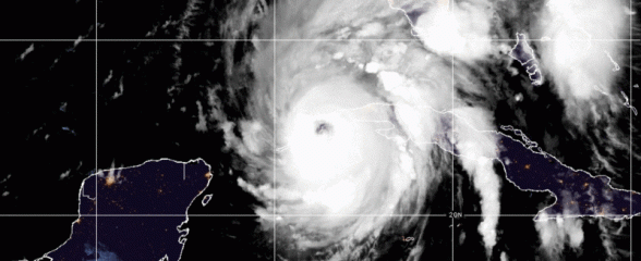
Eyes on Ian: Data Resources
SECOORA’s observing network of technology and people collected data throughout the powerful storm. This story highlights data collected.

News
September 20, 2022
Webinar | Sargassum Watch from Space
Join SECOORA for a webinar on October 25 at 12:00 PM ET presented by Dr. Chuanmin Hu from University of South Florida. He will be presenting on Sargassum Watch System that generates customized near real-time satellite imagery to monitor and track large Sargassum mats.
News
September 15, 2022
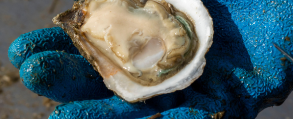
ShellBase Provides Easy-Access to Coastal Water Quality Data from the Southeast
ShellBase is a database that compiles historical water quality data collected from coastal zones of the Southeastern states.
News
September 14, 2022
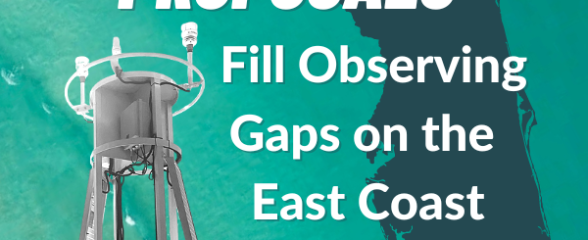
Request for Proposals: Fill Regional Observational Gaps on the Florida East Coast
SECOORA is soliciting proposals to fill at least two gaps in buoy operations on the east coast of Florida. Proposals are due by 5:00 PM November 11.
News
September 9, 2022
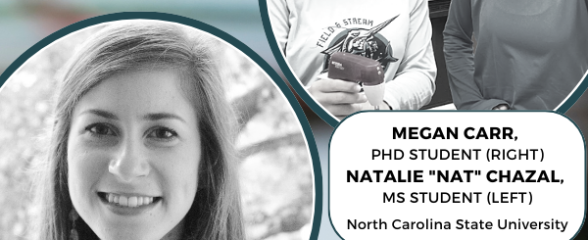
Webinar | ShellBase: Water Quality Data from Shellfish Harvest Waters in One Database
Webinar on September 27 at 12:00 PM ET presented by Natalie Nelson, Megan Carr, and Natalie "Nat" Chazal from North Carolina State University. They will be presenting use cases for a database, ShellBase, that compiles long-term records of coastal water quality from shellfish harvest waters in the Southeast.
News
August 31, 2022
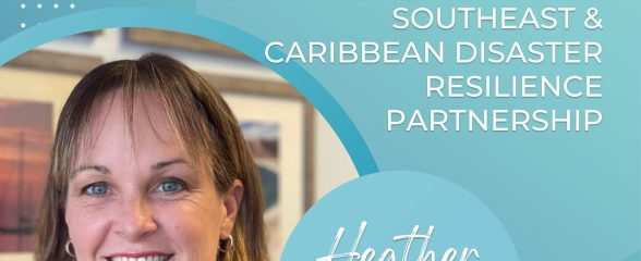
Southeast & Caribbean Disaster Resilience Partnership Welcomes New Executive Director
Heather P. McCarthy joins the Southeast & Caribbean Disaster Resilience Partnership (SCDRP) as their new Executive Director. Heather brings more than two decades of experience in coastal zone management, environmental writing and education, and marine and estuarine research to SCDRP.
News
August 23, 2022
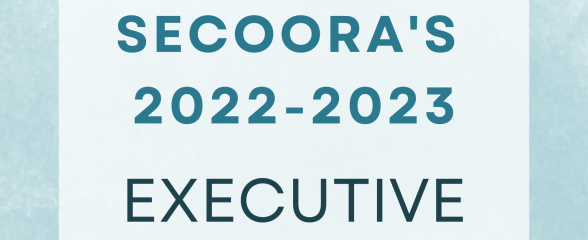
Meet the 2022 – 2023 SECOORA Executive Committee
Congratulations to the 2022 – 2023 Executive Committee! We are honored to be working with this talented group of individuals.
News
August 16, 2022
SECOORA is Hiring a Part-Time Accountant
SECOORA is seeking an enthusiastic part-time accountant, CPA preferred, who is interested in being engaged in all business management aspects of a nonprofit organization. The primary responsibility for this position is to be the lead accountant for SECOORA. Please email a cover letter addressing skills and qualifications, a formal resume (not exceeding two pages), a list of experience in the...
News
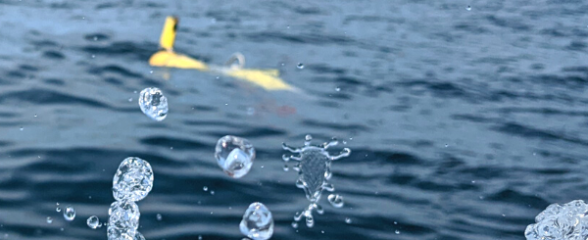
August 10, 2022
Franklin the Glider is on a Coordinated Mission to Improve Tropical Storm Intensity Forecasting
SECOORA’s glider, Franklin, has a friend for his first mission of the 2022 hurricane season. Franklin is flying under the Saildrone SD-1059 for the next 30-60 days collecting water column data to help forecasters better understand the forces that drive hurricane intensity.