Join SECOORA on July 28 at Noon ET for a webinar led by a team from the University of South Florida College of Marine Science. The team will present mapping products that pair in situ towed video imagery with sonar bathymetric data to define habitat types and calculate the relative and absolute densities of biota. These mapping products have considerable utility in defining essential fish and protected species habitats, for locating and assessing potential marine protected areas, and for identifying areas that should be excluded for consideration from offshore development activities.
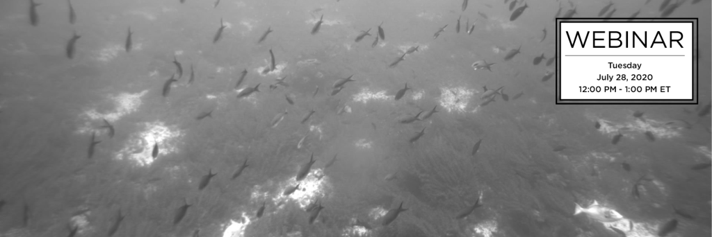
Date: Tuesday, July 28, 2020
Time: 12:00 – 1:00 PM ET
Click here to reserve your spot!
Download the flyer and please share.
Abstract
As incongruous at it seems, the northern Gulf of Mexico supports intensive natural resource extraction (fisheries, oil and gas), but is one of the most poorly mapped ocean areas of the United States. Only about 5% of the West Florida Shelf (WFS) was mapped prior to 2016. Bathymetric mapping identifies the characteristics of the bottom topography (rugosity), but cannot, in and of itself, be used to characterize habitat types nor utilization and importance of target areas to a variety of biota. By employing in situ towed video systems, one can pair imagery and sonar mapping products to define habitat types and calculate the relative and absolute densities of biota associated with each. These mapping products have considerable utility in defining essential fish and protected species habitats, for locating and assessing potential marine protected areas, and for identifying areas that should be excluded for consideration from offshore development activities. As a result of a grant from the National Fish and Wildlife Foundation’s Gulf Environmental Benefits Fund (GBEF), the project undertook a large-scale bathymetric and habitat classification program on the WFS. This program resulted in an additional 2,700 km2 of high-valued habitat being mapped. A number of candidate areas for additional protections and ongoing recovery efforts have been identified. This webinar outlines the process by which potential target areas are evaluated, the development of integrated habitat assessment products, and the value of such products supporting resource management and recovery planning.
Meet the Presenters
Dr. Steven Murawski, PI
Dr. Murawski “retired” to USF after leaving NOAA in 2011 where he was Chief Scientist at the National Marine Fisheries Service. Upon arriving at USF’s College of Marine Science, Dr. Murawski became heavily involved with research surrounding the Deepwater Horizon Oil Spill but continued with fisheries-related research via the development of the Camera-Based Assessment Survey System, or C-BASS, and most recently C-SCAMP.
When he’s not working on fish and habitat assessment on the West Florida Shelf with this project, Dr. Murawski is involved in many other projects and councils including C-IMAGE, ICES, the Gulf of Mexico Fishery Management Council and the National Academy of Sciences.
Chad Lembke – Co-PI, Lead Engineer
Chad completed his Bachelor’s and Master’s in Mechanical Engineering at the University of South Florida and in 1998 joined the CMS Ocean Technology Group. He has since provided engineering support in many projects at USF’s College of Marine Science which have used AUVs, ROVs, Buoys, BSOPs, gliders, and towed platforms.
Sarah Grasty – Project Manager and Scientist
Sarah Grasty came to the University of South Florida’s College of Marine Science as a graduate student in 2012 after graduating with her Bachelor’s from the University of South Carolina-Columbia. Her Master’s thesis dealt with investigating the use of C-BASS as a survey tool for reef fishes and extensively considered the effects of fish behavior on the accuracy of counts and subsequent density and abundance estimates from the system’s imagery.
After graduating in December of 2014, Sarah was hired as a research scientist for the C-SCAMP project where she will continue analyzing the C-BASS video for reef-fish related data and writing periodic reports concerning C-SCAMP project updates and findings.
Alex Ilich – PhD Student
Alex graduated in 2015 with a Bachelor’s degree from Cornell University where he majored in the Science of Natural and Environmental Systems, and minored in Marine Biology and Climate Change. He is now a PhD Student at the USF College of Marine Science studying Marine Resource Assessment. Mr. Ilich earned his Master’s degree from the College in October 2018 and his thesis focused on utilizing data from the C-BASS (Camera-Based Assessment Survey System) and multibeam sonar to develop a semi-automated classification approach to habitat delineation in the Elbow.
Related news

New High Frequency Radar at the Dry Tortugas National Park Improves Ocean Surface Current Measurements Across the Straits of Florida
A new CODAR Low-Power SeaSonde HFR has been deployed by the University of South Florida at Fort Jefferson on Garden Key to measure surface currents to improve understanding and prediction of the Gulf of Mexico Loop Current.

President Biden Proposes Significant Budget Cuts to IOOS for 2025
President Biden’s recent 2025 budget proposal slashed the funding allocated for the Integrated Ocean Observing System (IOOS) by 76%, which would effectively shut down coastal and ocean observing efforts.

Webinar: NOAA Resources to Help Coastal Communities Understand Flood Risk
Join us Wednesday, March 27th at 12 PM Eastern Time for SECOORA's Coastal Observing in Your Community Webinar Series to hear from Doug Marcy with the NOAA Office for Coastal Management.