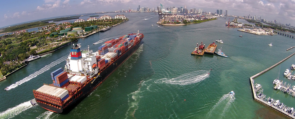
Mariners, search and rescue crews, emergency managers and others are eager to access information on sea and weather conditions before heading out on the water. Ocean observations and web-based tools play a key role in promoting safe and efficient maritime transportation and recreational boating. SECOORA provides:
- A geographically rich set of sustained real-time observations
- Enhanced access to marine weather data
- Surface current data to aid search and rescue efforts
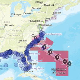
Users of Marine Operation data include forecasters at the NOAA National Weather Service. Chip Kasper, Meteorologist-in-Charge at the Florida Keys National Weather Service, indicated that “having knowledge of surface ocean current speed and direction from the project’s HFRs will improve the quality of NOAA/National Weather Service short-term weather and ocean warnings and forecasts in the maritime domain.”
Below are examples of SECOORA supported efforts related to Marine Operations.
Marine Weather Portal
Provides a one-stop shop for marine observations, forecasts, and short and long-fuse warnings for the coastal waters of the Southeast region. Access data.

2021 Data Challenge
SECOORA is asking students and early career professionals to create tools that uses SECOORA buoy and/or shore station data. There are two $3,500 prizes. Deadline to submit is March 12, 2021. Read more.
SECOORA Data Portal: In-situ Stations
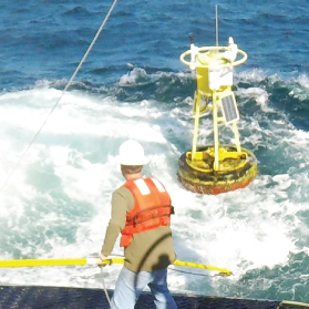
SECOORA funds many in-situ stations – buoys, metrological, and coastal stations – in the Southeast U.S. Access real time data in the Southeast.