News
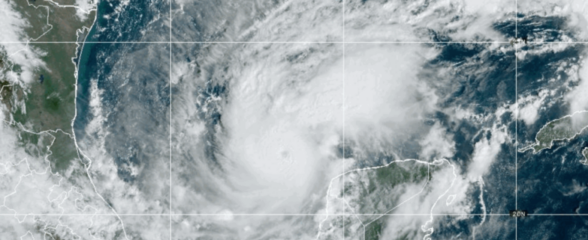
Eyes on Milton: Hurricane Data Resources
As Hurricane Milton heads east in the Gulf of Mexico and approaches the west coast of Florida, it is expected to bring severe storm surge and hurricane-force winds, in addition to flash and urban flooding throughout the state of Florida.
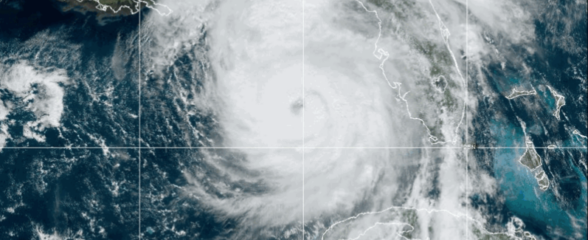
Eyes on Helene: Hurricane Data Resources
Helene brought severe storm surge and hurricane-force winds to the Florida panhandle and the Florida west coast, in addition to flash and urban flooding throughout the Southeast.
Student Opportunity: 2024 Data Challenge
The 2024 SECOORA Data Challenge invites undergraduate students, graduate students, and early career professionals to develop a project that combines multiple southeast datasets to support one or more coastal communities by addressing a timely and relevant issue.
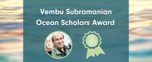
Student Opportunity: Vembu Subramanian Ocean Scholars Award
In remembrance of Vembu Subramanian—our friend, colleague, and SECOORA Data Manager—SECOORA established an award for the next generation of ocean experts to network with others in their field and/or present their work at meetings or conferences within the United States.
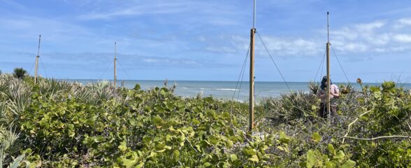
SECOORA Partners with NASA to Install a New High-Frequency Radar at the Kennedy Space Center
The NOAA U.S. IOOS Office, NASA, SECOORA, and UGA Skidaway Institute of Oceanography worked together to install an oceanographic high-frequency radar (HFR) at the Kennedy Space Center in Cape Canaveral, Florida.

CO-OPS Partners with SECOORA to Bring Coastal Webcam Imagery to Coastal Inundation Dashboard
SECOORA and NOAA CO-OPS have partnered to provide access to coastal webcam imagery through NOAA’s Coastal Inundation Dashboard.
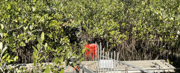
Call for Installation of New SET Stations and/or Reactivation of Historic SET Stations
SECOORA invites proposals for funding the installation of new Surface Elevation Table (SET) stations or the reactivation of historic SET stations within our region.
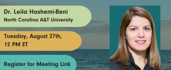
Webinar: Rapid Floodwater Mapping and Depth Analysis Using Optical UAV and SAR Technology
SECOORA’s August installment of the Coastal Observing in Your Community Webinar Series is August 27th, 12 PM ET. It will feature Dr. Leila Hashemi-Beni, North Carolina Agricultural and Technical State University (NC A&T), who will provide an overview of rapid floodwater mapping and depth analysis using optical UAV and SAR technology.
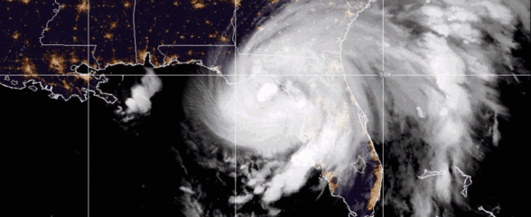
Eyes on Debby: Hurricane Data Resources
Hurricane Debby, now categorized as a Tropical Storm, has brought storm surge and wind damage to the Southeast. Debby continues to cause major flooding as the storm travels north.
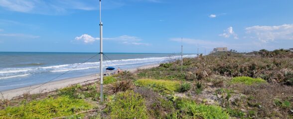
Measuring Surface Currents on the East Coast of Florida with High Frequency Radars
The Florida Institute of Technology and UGA Skidaway Institute of Oceanography recently installed four high frequency radars on the east coast of Florida. These systems measure the speed and direction of ocean currents, which is helpful for search & rescue operations and tracking marine debris.
