Coastal Stations and Moorings News and Resources
2023 SECOORA Data Challenge
The Southeast Coastal Ocean Observing Regional Association (SECOORA) Data Challenge invites undergraduate students, graduate students, and early career professionals to develop a project that combines multiple Southeast datasets to understand a coastal and/or ocean event or trend.
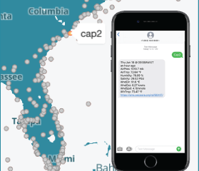
Text a Buoy
Need quick access to your favorite buoy data? Get that data delivered directly to your phone by text message. Send a text message to (843) 603-8559 with the station “key” from this table. This is a free service from SECOORA. Standard message rates from your carrier may apply.
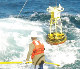
CORMP Buoy Data
Boating off the coasts of West Florida or the Carolinas? Before going out on the water, access real time marine weather data from buoys and coastal stations.