Join SECOORA Give Back

Southeast Water Level Network

Our Purpose:

With coastal communities facing the compound threat of storm surge, extreme rainfall, and rising sea level – SECOORA is supporting the installation and long-term operation of ~200 new water level stations in the Southeast. This new regional water level network will enable localized flooding alerts, improve community resilience, and monitor flooding hazards.

SECOORA, through funding from the NOAA Integrated Ocean Observing System, is partnering with Coastal Carolina University, Georgia Tech, American Shore and Beach Preservation Association/Hohonu, Florida International University, and Florida Atlantic University to establish a Southeast Water Level Network.


Our Goals:

The network will provide real-time local water level data to town managers, emergency managers, design engineers, and the public. This data is vital for monitoring coastal flooding, keeping citizens informed of hazardous conditions. 

Communities can use the data when designing resilience and adaptation strategies to sea level rise and other climate impacts.

 Our goals include:

  • Substantially expand real-time water level coverage
  • Partner with coastal communities’ stakeholders to provide data to underserved communities
  • Contribute to state and local decision-support applications and alert systems
The proposed number of water level stations to be installed in each state in the Southeast.

Network of Water Level Sensors

This map displays the installation locations of the water level sensors in 2022 and will be updated as more stations are added to the network.


Data and Technology

The partners of the Southeast Water Level Network are installing multiple types of low-cost sensors. Each sensor type is unique and utilizes different technology to measure water levels.

Water level station data will soon be made available on SECOORA’s Data Portal.

A SECOORA mini-grant was awarded to Drs. Michael Muglia, East Carolina University – Coastal Studies Institute, and Nicole Elko, American Shore and Beach Preservation Association. This team installed five water level sensors, which will ultimately become a part of the greater Southeast Water Level Network.


Community Engagement

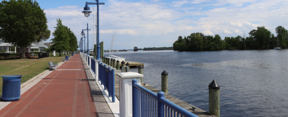
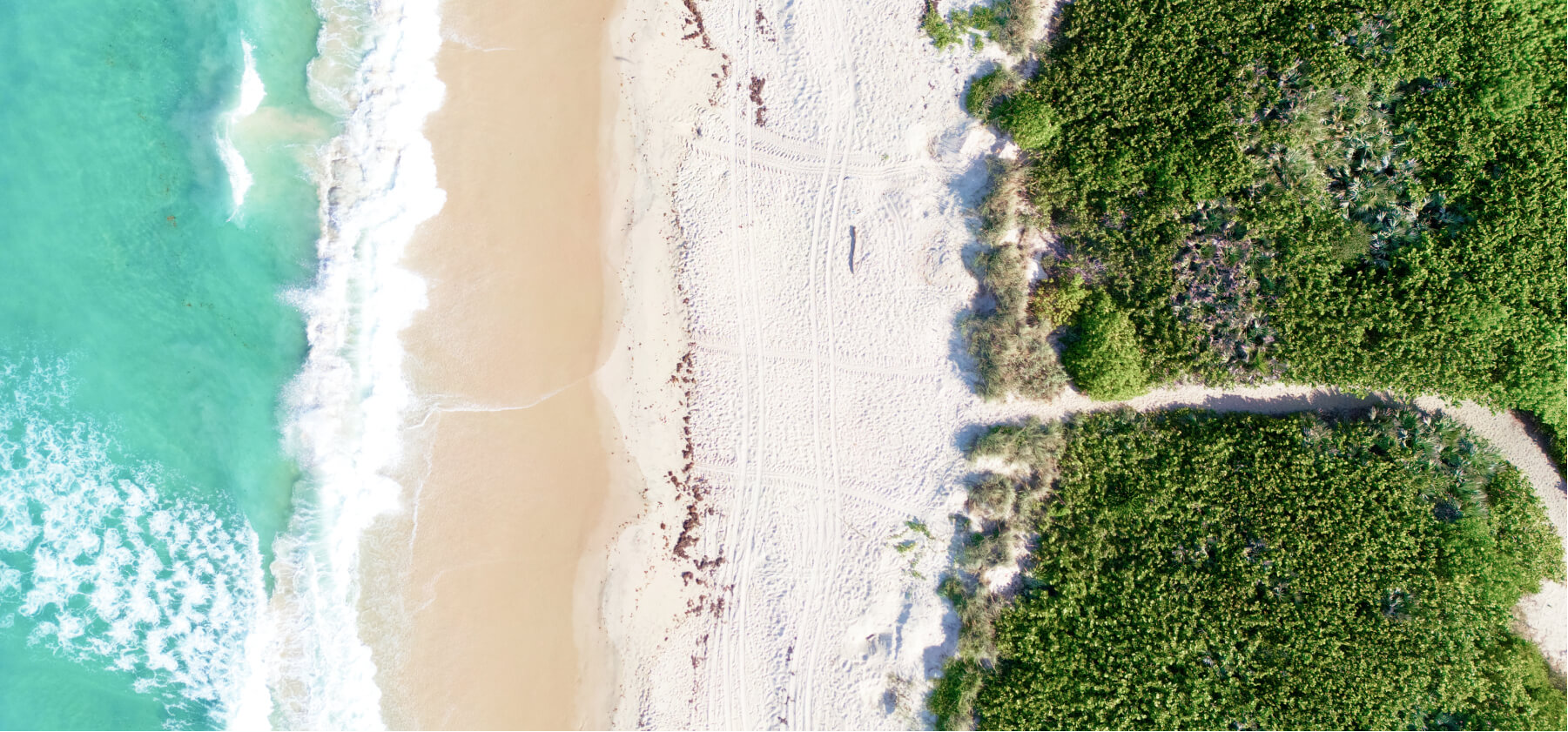
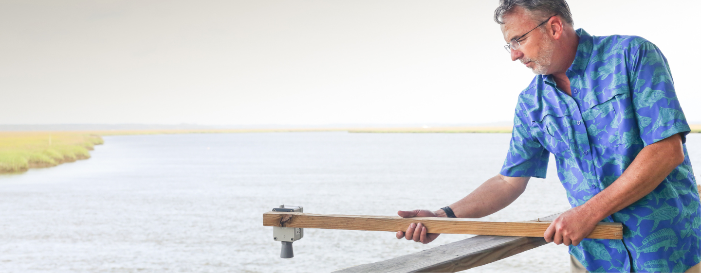
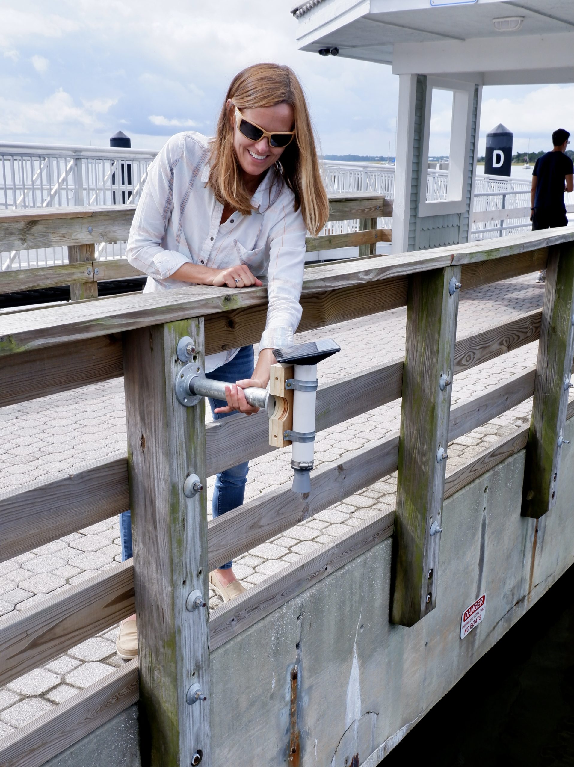
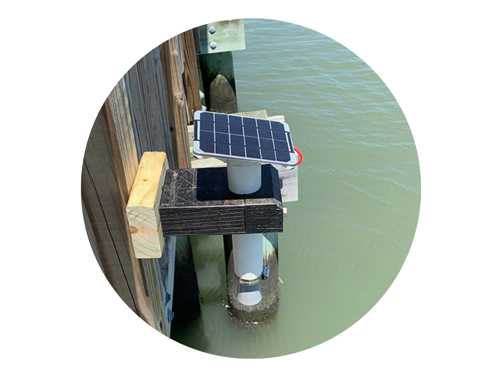
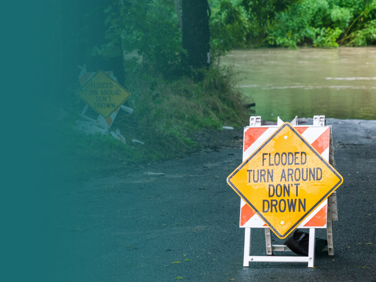
Are you a member of a coastal community that experiences flooding? Does flooding impede your ability to travel around your town? If yes, please reach out to SECOORA to learn more about installing a water level sensor in your community. For additional details about installing a sensor in your local community, view our flyer here.

The Southeast Water Level Network is currently working with the following communities:

North Carolina

  • Currituck County
  • Town of Duck
  • Town of Nags Head
  • Dare County
  • Hyde County
  • Town of Beaufort
  • Indian Beach
  • Carteret County
  • Town of Holden Beach
  • Town of St. James
  • Town of Sunset Beach
  • Ocean Isle Beach
  • Village of Bald Head
  • Surf City
  • Topsail Beach

South Carolina

  • Town of Pawleys Island; Georgetown County
  • Town of Hilton Head
  • City of Beaufort
  • City of Folly Beach
  • Town of Sullivan’s Island
  • City of Charleston
  • Dorchester County
  • Florence County
  • Georgetown County
  • Horry County
  • Marion County
  • Richland County

Georgia

  • Camden County
  • King’s Bay Naval Base
  • City of Savannah
  • Chatham Emergency Management Agency
  • City of Tybee Island
  • City of Garden City
  • City of St Marys
  • City of Brunswick
  • Harambee House – Citizens for Environmental Justice
  • Georgia Department of Natural Resources – Coastal Resources Division
  • Skidaway Institute of Oceanography
  • The Landings Association
  • Bull River Marina
  • Ossabaw Island Foundation

Florida

  • City of Fernandina Beach
  • Town of Palm Beach
  • Captiva Island
  • Palm Beach County
  • City of Jupiter
  • Palm Beach County Business Development Board
  • City of West Palm Beach
  • City of Boca Raton
  • City of Fort Pierce
  • Miami-Dade County
  • City of Coral Gables
  • City of Fort Lauderdale
  • Monroe County
  • Indian River Lagoon National Estuary Program

Water Level Research and News

Hyper-local tidal sensors now in use along South Carolina coast

A story on Live 5 News WCSC in South Carolina highlights the water level monitoring stations in South Carolina that keep an eye on the tide. Learn more.

Northeast North Carolina Coastal Communities Water Level Observation and Prediction System

Water-level sensors were installed in 5 locations in the North Carolina Outer Bank. The sensors wirelessly telemeter real-time water level data to make tidal predictions. Learn more.

A new network of water level sensors to be deployed in the Southeast

A news story on the Southeast Regional Water Level Network that will provide real-time high-resolution and high-frequency flood data on the projected increase in flooding. Learn more.


The Advisory Committee:

The Advisory Committee Charge:

  • Evaluate the cost, accuracy, and reporting frequencies for the systems being installed; 
  • Participate in annual system evaluation of capital and operational costs; 
  • Evaluate the quality assurance and quality control standards for the water level network; 
  • Assist with identification of priority locations for new stations, including:
    • Ensure a portion of the water level stations are being deployed in underserved communities, which includes environmental justice communities; 
    • Ensure water level stations are sufficiently filling gaps in the coverage area;
    • Guide the development of the online and mobile water level data viewer.

Advisory Committee Members:

Holly Edmond
Florida Department of Environmental Protection
Victor Engel, Ph.D.
USGS South Atlantic Water Science Center
Laurie Hogan
Hydrologic Services Division of the National Weather Service
Jennifer Kline
Georgia Department of Natural Resources Coastal Resources Division
Douglas Marcy
NOAA Office for Coastal Management
Dwayne Porter, Ph.D.
University of South Carolina
Raimundo Rodulfo
City of Coral Gables
Sarah Spiegler
North Carolina Sea Grant
David Sumner, Ph.D.
USGS Caribbean-Florida Water Science Center
Gary Thompson
North Carolina Emergency Management’s Risk Management
Charles White
Emergency Management Agency for Camden County Georgia
David Wolcott
NOAA Center for Operational Oceanographic Products and Services

Documents

SECOORA has developed Standard Operating Plans that guide operations as for the Southeast Water Level Network. Explore below.


Want to learn more? Connect with us!

Interested in learning about the Southeast Water Level Network? Need a question answered? Send us an email. We are standing by and happy to help!


Our Partners:

Dr. Tiffany Troxler
Dr. Jason Hallstrom

Dr. Paul Gayes
Dr. Nicole Elko

Dr. Brian Glazer

Dr. Russell Clark