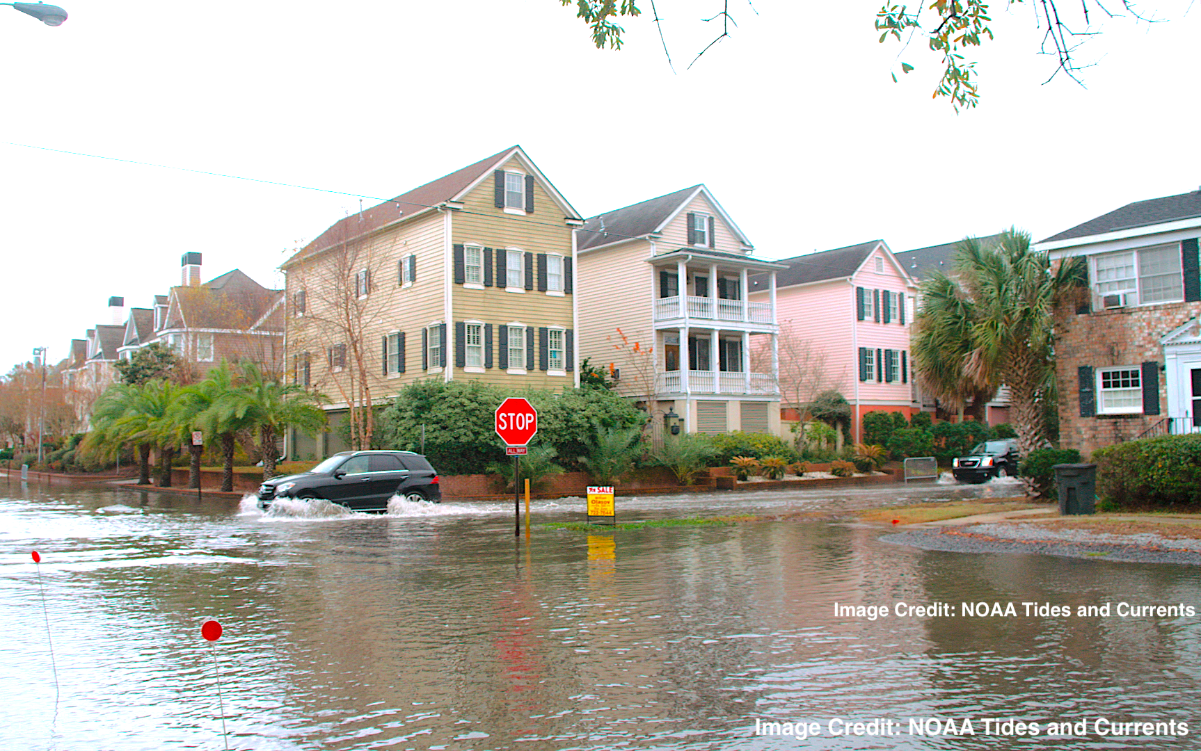
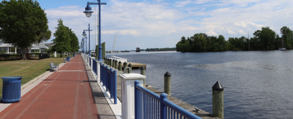
Image Credit: NOAA Tides and Currents
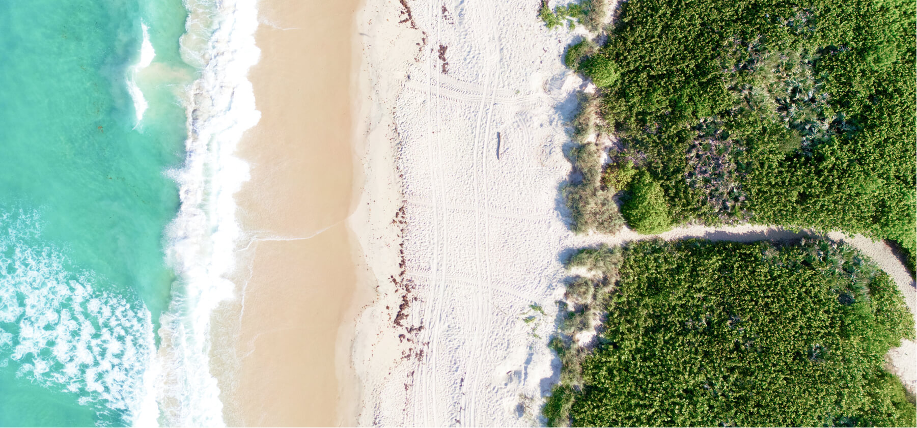
The Southeast Water Level Network
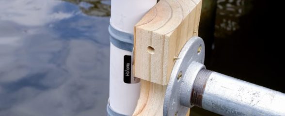
With coastal communities facing the compound threat of storm surge, extreme rainfall, and rising sea level – SECOORA is supporting the installation and long-term operation of ~100 new water level stations in the Southeast. The Southeast Water Level Network will enable localized flooding alerts, improve community resilience, and monitor flooding hazards.
Water Level Research and News
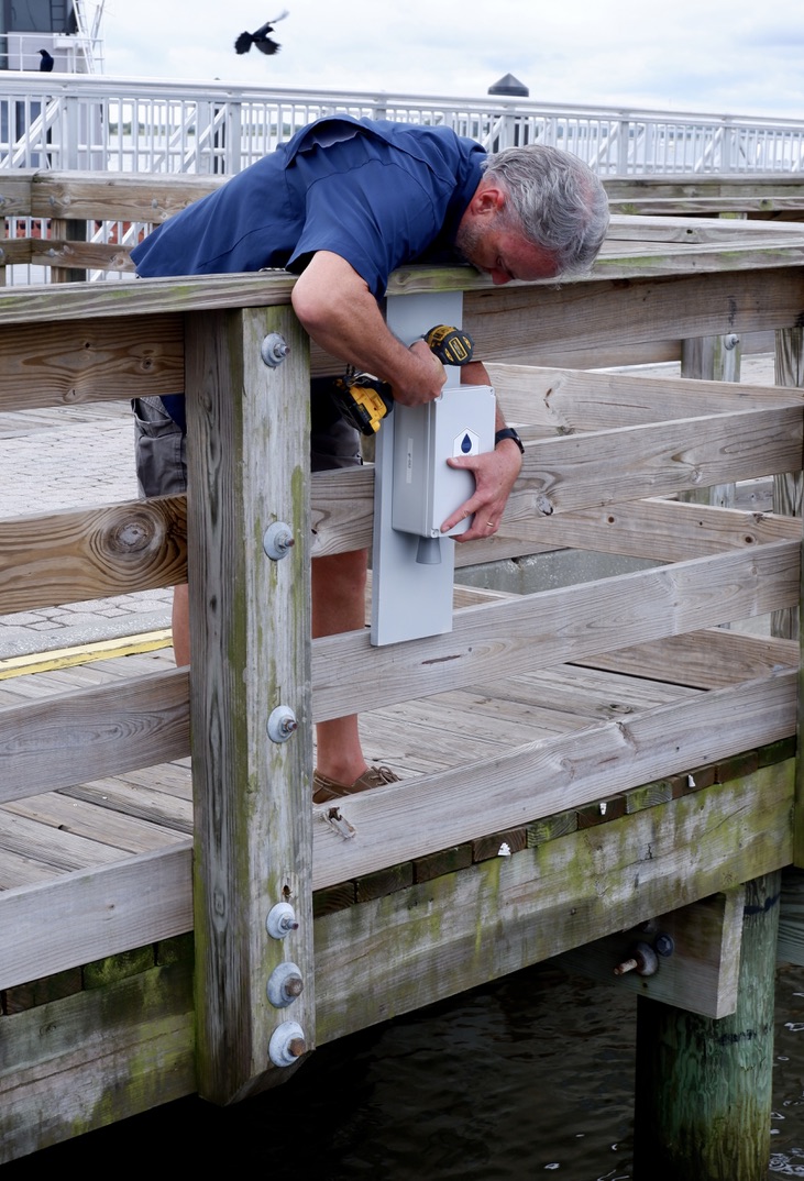
SECOORA Partners with North Carolina Communities to Install New Water Level Sensors
In March 2024, SECOORA installed two new water level stations in Beaufort County, North Carolina. Partners with Beaufort County Emergency Services, North Carolina Public Safety, and NC Sea Grant identified the Bayside Community (within Chocowinity) and the town of Belhaven as two frontline communities in need of flood monitoring.
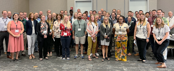
Workshop: Water Levels in the Southeast
Over 60 representatives from eleven federal and state agencies, four private companies, and nine academic institutions met in Jacksonville, FL to talk water levels in the Southeast on June 15-17, 2023.
A new network of water level sensors to be deployed in the Southeast
A news story on the Southeast Regional Water Level Network that will provide real-time high-resolution and high-frequency flood data on the projected increase in flooding.
Our Partners