Where SECOORA Operates:
SECOORA supports projects that are important to stakeholders in the Southeast. We talk to our users and produce oceanographic observations, models, web tools, applications, and products based on their needs.
Learn about the number of SECOORA assets in each state by clicking on the interactive map.
Connecting Stakeholders to Data
Each project SECOORA supports is linked to our Focus Areas. These three Focus Areas guide our tasks, correspond with U.S. IOOS societal goals, and are deemed important to the Southeast by our stakeholders (members, partners, and data users).
Delivering Data for Decisions
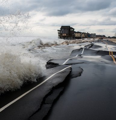
Safeguarding Communities
From Kiawah Island South Carolina Resilience Specialist: “The Kiawah Island Community is regularly faced with nuisance flooding challenges related to sea level rise. A water level monitoring sensor inour community will allow our Stormwater Engineers and EmergencyManagement staff to plan for and manage nuisance flooding.”
Image Credit: Daniel Pullen
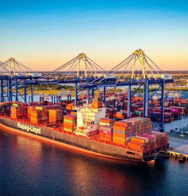
Enhancing the Blue Economy
From Mark Messersmith at South Carolina Ports Authority (SCPA), “SCPA and our partners use the data from the SECOORA Buoy CAP 2 to provide important meteorological and oceanographic information for safe and efficient marine transportation as well as for data inputs on studies impacting the economic vitality of our Port and region.”
Image Credit: Walter Lagarenne, SCPA
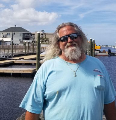
Providing Data for Users
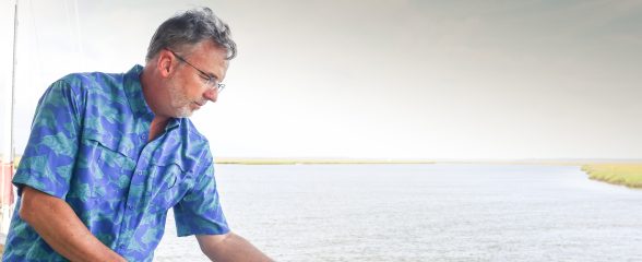
Commercial fisherman and self-proclaimed ‘computer geek’ Captain Dave Tilley sees HF radar data as a way to catch more fish.Captain Tilley states, “I would love to get my hands on every single one of them in existence.”
Image Credit: Vince Winkel, WHQR
Community Observing
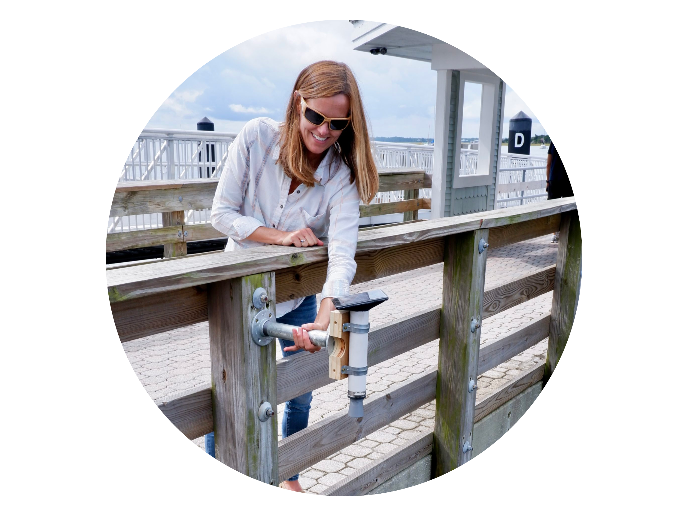
Southeast Water Level Network
The Southeast Water Level Network collaborates with communities to install a water level sensor in their chosen location and receive the data personalized for their needs. This information can help local citizens, emergency managers, and the overall safety and resilience of the community.
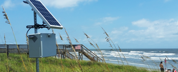
Web Camera Network
Our Web Camera Network empowers communities by providing or installing webcams in chosen locations. More webcams mean enhanced data quality. Our team assists in accessing existing data or determining suitable webcam locations. Customized products can be created for those that want alerts of interest to the community.
“With today’s technology, every community should have access to real-time water level data exactly where they need it for emergency management, public safety, recreation, and to support infrastructure planning. This project brings basic information (“How high is the tide in my community right now?”) into the hands of the local decision makers who desperately need this type of data to manage coastal flood challenges.”
Dr. Nicole Elko, Dr. Nicole Elko, Executive Director, American Shore and Beach Preservation Association
Mailing Address
PO Box 13856, Charleston, SC 29422
