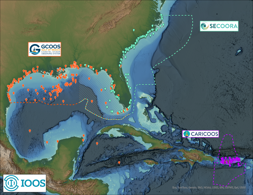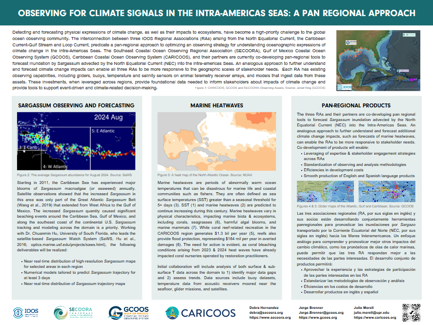
The “Intra-American Seas Pan-Regional Ocean Observing Initiative” is a partnership of increased collaboration among the Gulf of Mexico Coastal Ocean Observing System (GCOOS), the Southeast Coastal Ocean Observing System (SECOORA) and the Caribbean Ocean Observing System (CARICOOS). The goal of this Initiative is to help support a greater understanding of the connections among the North Equatorial Current, the Caribbean Current/Gulf Stream and the Loop Current, and fill data gaps for forecasting and responding to environmental events and changes.
The partnership builds on joint projects already being undertaken by GCOOS, SECOORA and CARICOOS and will serve as a platform to launch more joint projects in support of coastal communities. These regional observing associations are funded by the U.S. Integrated Ocean Observing System (U.S. IOOS), a national network of people and technology that gathers and disseminates data and information about our oceans in support of the economy, the environment and public safety. There are 11 regional networks operating across the U.S., including the Great Lakes.
The Intra-American Seas Pan-Regional Ocean Observing Initiative has several main priorities, including:
- System-wide phenomena and hazards — improving hurricane intensification forecasting via underwater glider missions;
- Climate signal detection — assessing and sharing information about marine heatwaves;
- Joint products — tracking things like the expanded geographic range of sargassum, which is now thriving in the open ocean;
- Cross-boundary expertise sharing — increased collaboration will allow each region to grow expertise in key areas while avoiding overlaps;
- Product development co-design — for example, instead of having a tool like the Sargassum Forecast focused solely on the Caribbean, it can be widened to include the larger southeastern Atlantic, where blooms are a growing problem.
Current Projects

Sargassum Inundation Forecasts
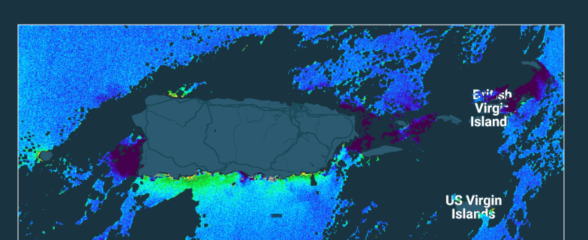
Sargassum is a type of floating brown algae that forms large mats and can have devastating impacts on coastal communities when they wash ashore. The Sargassum forecasts, developed with the University of South Florida, currently provides a general outlook of current bloom condition and future bloom probability for the Caribbean Sea.

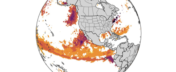
Coastal and Marine Heatwaves
This project will develop a better understanding of the locations and impacts of coastal and marine heatwaves, periods of unusually high ocean temperatures defined by how long they last and how intense they are.
