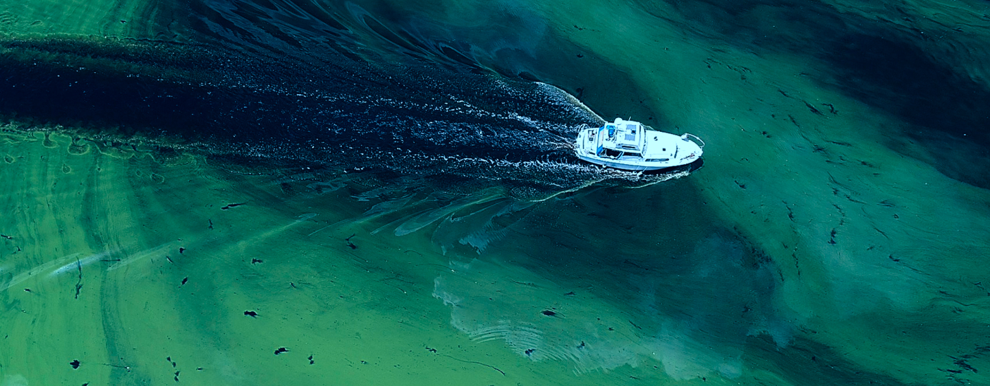
Expanding Data in the Southeast
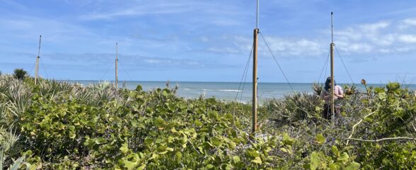
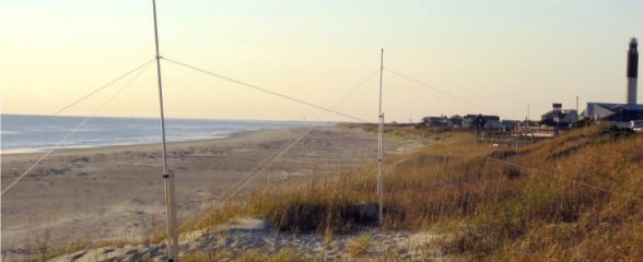
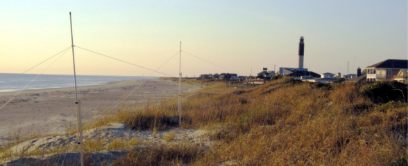
SECOORA Partners with NASA to Install a New High-Frequency Radar at the Kennedy Space Center
The NOAA U.S. IOOS Office, NASA, SECOORA, and UGA Skidaway Institute of Oceanography worked together to install an oceanographic high-frequency radar (HFR) at the Kennedy Space Center in Cape Canaveral, Florida.

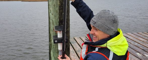
CO-OPS Partners with SECOORA to Bring Coastal Webcam Imagery to Coastal Inundation Dashboard
SECOORA and NOAA CO-OPS have partnered to provide access to coastal webcam imagery through NOAA’s Coastal Inundation Dashboard.
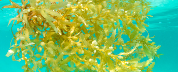
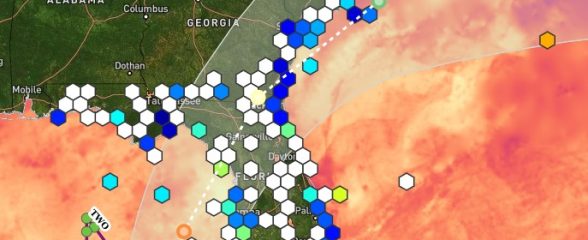
Tracking Seaweed Blooms with the Sargassum Watch System
The Sargassum Watch System (SaWS) provides real-time satellite images that show Sargassum location, amount, and trajectory.
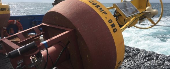
Data Services
There are multiple ways to access SECOORA data. The primary way is through the SECOORA Data Portal and its associated Data Catalog. The underlying data may also be access by ERDDAP or THREDDS. Model and gridded data are served by the THREDDS server and time-series data by the ERDDAP server. ERDDAP documentation is available - button right. These services are particularly useful for machine to machine data access.
SECOORA Data Portal
SECOORA Data Catalog
ERDDAP (the Environmental Research Division's Data Access Program)
THREDDS
Certification
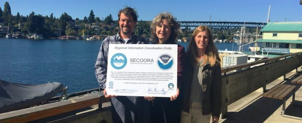
Confirming SECOORA Meets the Gold Standard for Data
SECOORA is certified by NOAA as a Regional Information Coordination Entity. This confirms data coming from SECOORA adheres to common federal collection, storage and management standards. In other words, it can be integrated with other data, and help make “big data” research and development possible.
Certification Documents
The documents that support SECOORA’s IOOS recertification application are made available on this page.