Basic Observation Buoy (BOB) III Workshop: A Collaborative Success
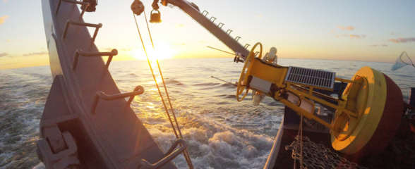
The BOB III Workshop, held December 13-14, 2010 at the Jacksonville University Marine Science Research Institute, expanded on the previous workshops by exploring applications of the BOB platforms. This workshop was a very successful mix of students, scientists and educators that resulted in broadening the pool of BOB aficionados, trouble shooting data collection issues, and sharing experiences and ideas in using BOB for educational opportunities. High school students from Beaufort High School, Hilton Head Preparatory School and Charleston’s Academic Magnet school interacted with scientists from a variety of organizations including University of Georgia, University of North Florida, University of North Carolina, Old Dominion University, North Carolina State University, Kennesaw State University, University of Connecticut and the Guana Tolomato Matanzas National Estuarine Research Reserve among others. This participant-driven workshop provided the opportunity to understand the range of sensor options, thanks to the input of two sensor vendors (YSI and Pasco) participating and was a forum for developing outreach strategies for broader communities.
BOB III builds on the efforts of two previous interactive workshops (BOB I-January 2009 and BOB II-March 2010) that introduced the concept of a scaled-down, functional platform for collecting information on water parameters in sheltered environments, i.e. bays, creeks and sounds.
Related news

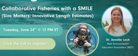
SECOORA Webinar: Collaborative Fisheries with a SMILE (Size Matters: Innovative Length Estimates)
On Tuesday, June 24th at 12 PM ET, Dr. Jennifer Loch from Reef Environmental Education Foundation (REEF) will discuss the SMILE (Size Matters: Innovative Length Estimates) project as part of SECOORA's Coastal Observing in Your Community Webinar Series.

Funding Cuts to NOAA IOOS Will Hurt the Southeast
Proposed federal funding cuts would eliminate the IOOS Regional Observations budget for next year. Contrary to the budget Congress has already approved for this year, the Executive Branch wants these proposed cuts to go into effect in 2025.

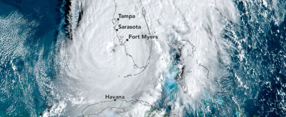
SECOORA Webinar on the Rapid Intensification of Hurricane Ian: Warm Subsurface Water on the Wide Continental Shelf
Join us Thursday, April 24th at 12 PM ET for the April installment of the SECOORA Coastal Observing in Your Community Webinar Series! This month, we will hear from Dr. Yonggang Liu from the University of South Florida. He will discuss his research on the rapid intensification of Hurricane Ian in relation to anomalously warm subsurface water on the wide...