GIS Day 2014
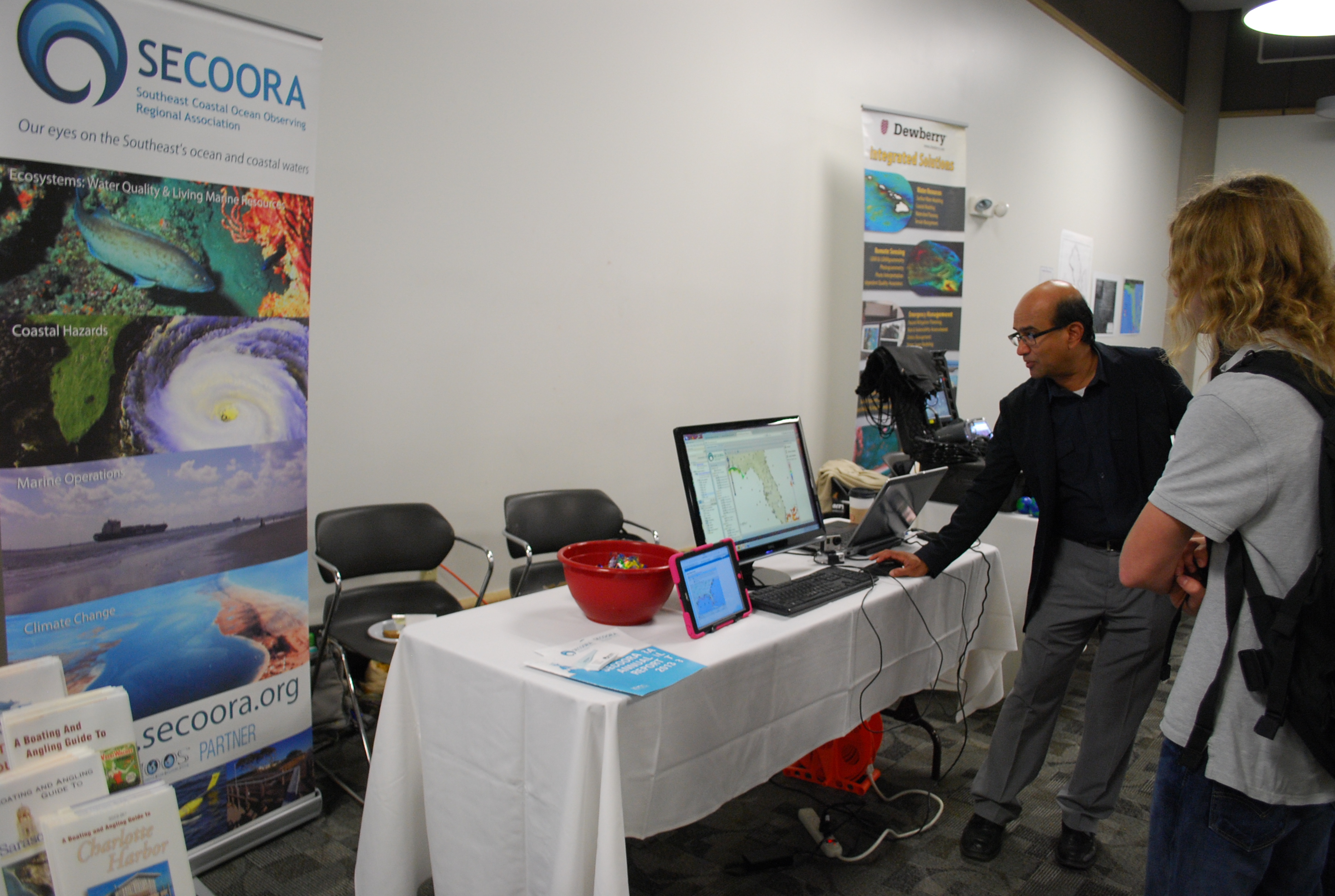
This year SECOORA showcased their interactive maps during GIS day, November 18, 2014 at University of South Florida St. Petersburg. SECOORA teamed with member organizations, such as FWRI, to educate children in middle and high school about real-world applications of GIS.
Students learned how to navigate SECOORA’s Interactive Regional Map, Marine Weather Portal, Biological Habitat/Physical Data Viewer, Beach Water Quality Model and the newly released Climatology Tool. We look forward to participating again next year.
All Images Property of SECOORA
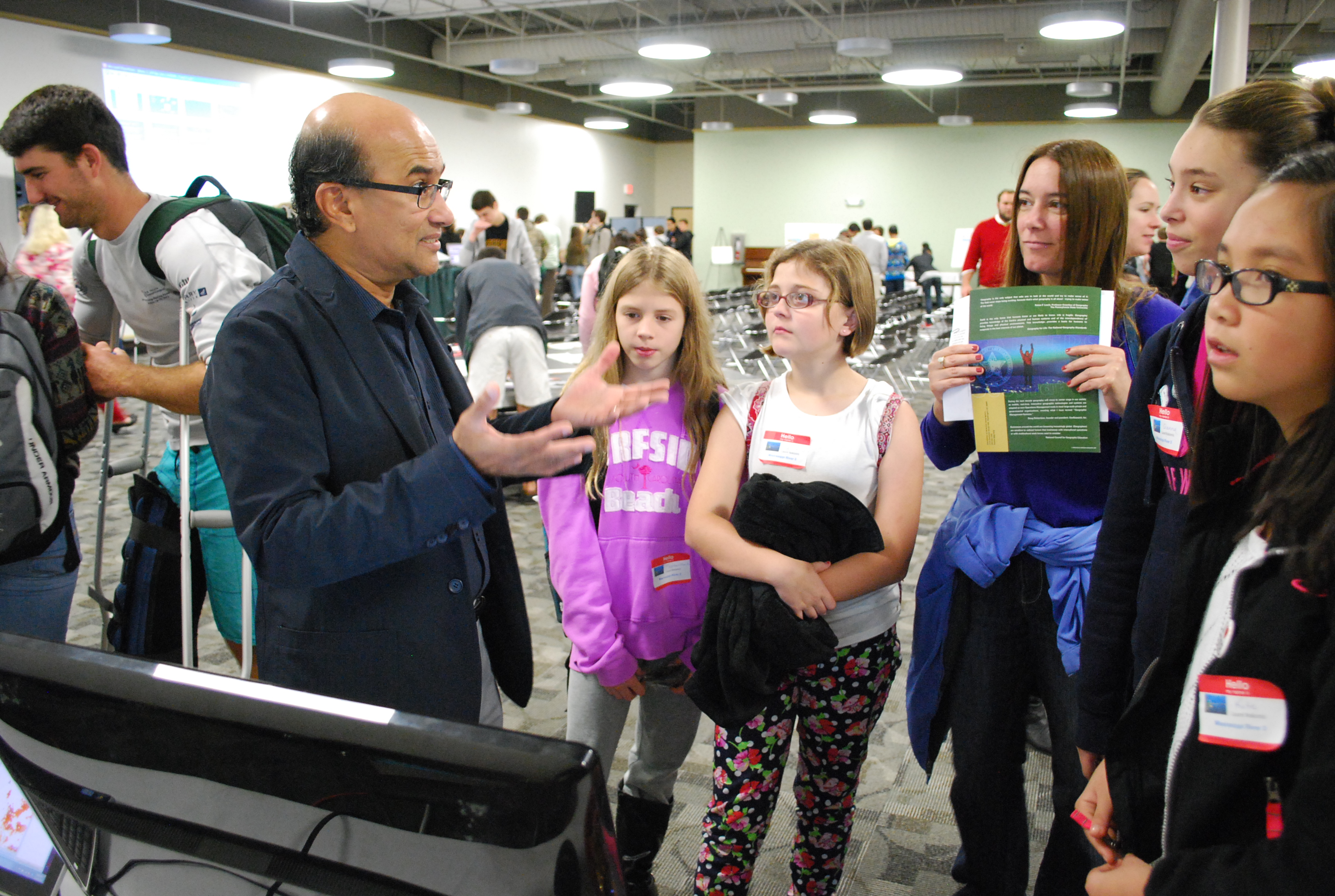
Related news
Funding Cuts to NOAA IOOS Will Hurt the Southeast
Proposed federal funding cuts would eliminate the IOOS Regional Observations budget for next year. Contrary to the budget Congress has already approved for this year, the Executive Branch wants these proposed cuts to go into effect in 2025.
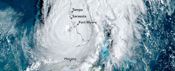
SECOORA Webinar on the Rapid Intensification of Hurricane Ian: Warm Subsurface Water on the Wide Continental Shelf
Join us Thursday, April 24th at 12 PM ET for the April installment of the SECOORA Coastal Observing in Your Community Webinar Series! This month, we will hear from Dr. Yonggang Liu from the University of South Florida. He will discuss his research on the rapid intensification of Hurricane Ian in relation to anomalously warm subsurface water on the wide...
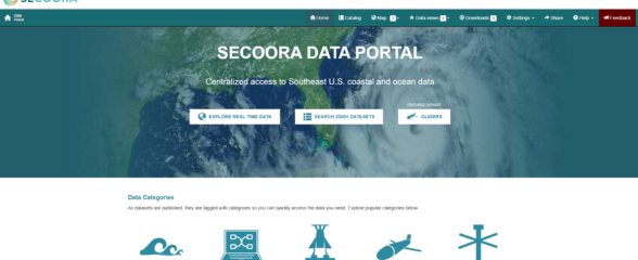
Webinar: SECOORA Data Portal Demo
Join us on Thursday, February 20, 2025 at 1:00 PM ET to learn more about the SECOORA Data Portal and how to navigate it. Axiom Data Science will be providing an overview of the portal, including how to search the Catalog and make a custom data view.