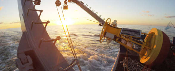
To address long-standing gaps on the east coast, SECOORA is investing in a regional glider observatory to gather historically lacking data on shelf circulation and water properties in the South Atlantic Bight. The Atlantic gliders will operate in coastal waters from West Palm Beach, Fla., to Cape Hatteras, N.C., the area known as the South Atlantic Bight.
The SECOORA funded glider network led by the University of Georgia Skidaway Institute of Oceanography will soon move through South Carolina waters taking temperature and salinity readings, and listen for fish behavior. Glider data could help fishermen increase their hauls, among other things. The network will be the first regularly funded program of its kind in the region, according to the institute. It will span an area of the Atlantic Ocean from Florida to North Carolina through which the gliders will cruise at a leisurely pace.
Recently, the project was highlighted in a local newspapers, the Beaufort Gazette. Read the article HERE.
Related news

SECOORA Webinar: Collaborative Fisheries with a SMILE (Size Matters: Innovative Length Estimates)
On Tuesday, June 24th at 12 PM ET, Dr. Jennifer Loch from Reef Environmental Education Foundation (REEF) will discuss the SMILE (Size Matters: Innovative Length Estimates) project as part of SECOORA's Coastal Observing in Your Community Webinar Series.

Funding Cuts to NOAA IOOS Will Hurt the Southeast
Proposed federal funding cuts would eliminate the IOOS Regional Observations budget for next year. Contrary to the budget Congress has already approved for this year, the Executive Branch wants these proposed cuts to go into effect in 2025.

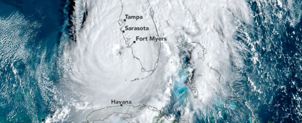
SECOORA Webinar on the Rapid Intensification of Hurricane Ian: Warm Subsurface Water on the Wide Continental Shelf
Join us Thursday, April 24th at 12 PM ET for the April installment of the SECOORA Coastal Observing in Your Community Webinar Series! This month, we will hear from Dr. Yonggang Liu from the University of South Florida. He will discuss his research on the rapid intensification of Hurricane Ian in relation to anomalously warm subsurface water on the wide...