

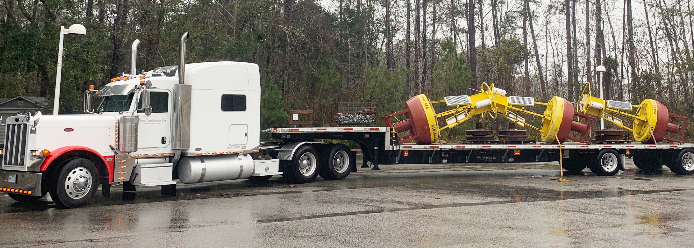
In early February, the University of North Carolina Wilmington’s Coastal Ocean Research and Monitoring Program (UNCW CORMP) replaced buoys off the coasts of North Carolina and South Carolina. These buoys provide real-time weather, sea state, and water quality data for use by the public, as well as the scientific and public safety communities.
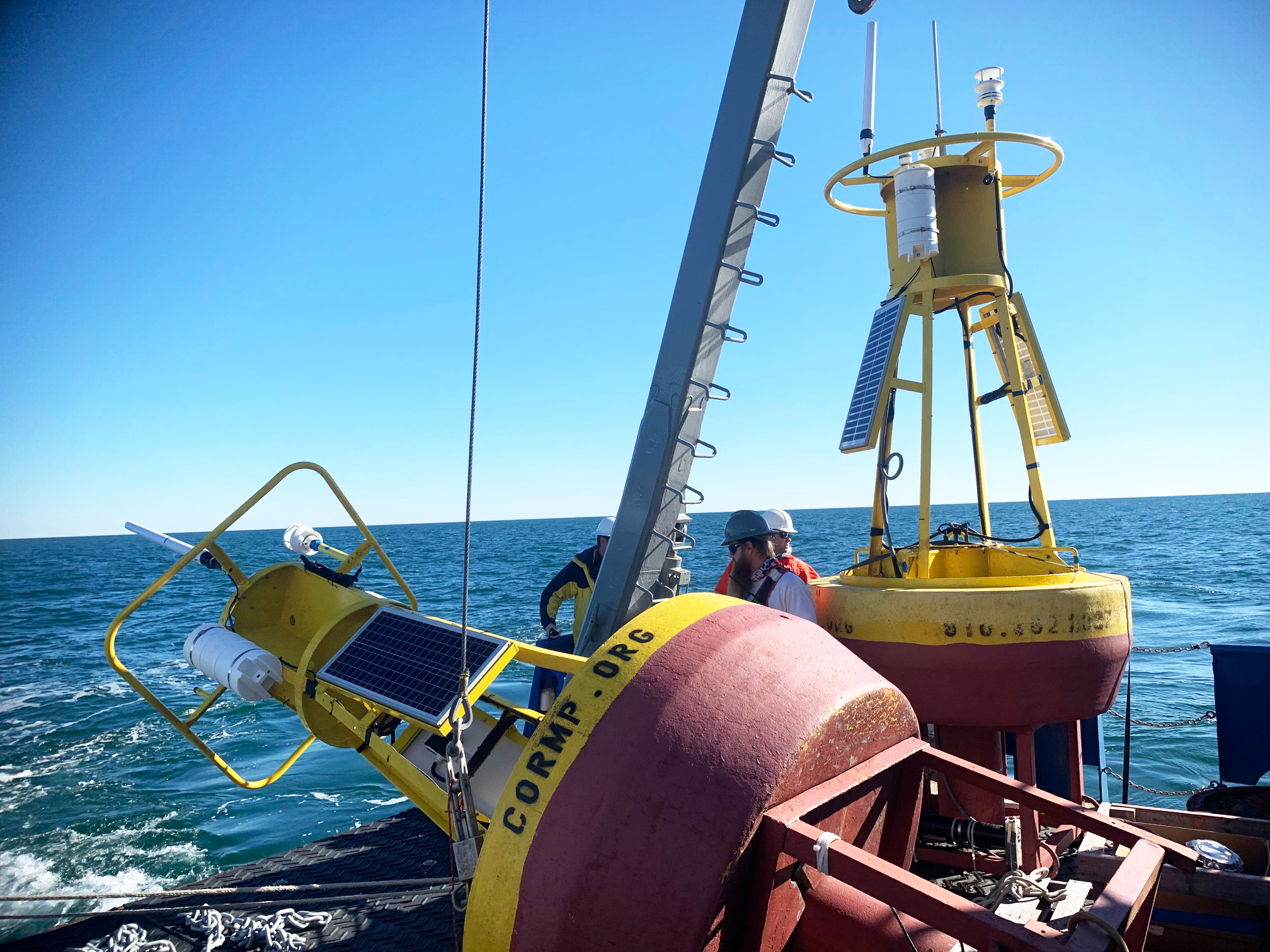
The team went to sea on the RV Savannah and swapped the FRP2, CAP2, SUN2 and SUN2wave buoys for new moorings. For each deployed mooring, CORMP has a spare mooring at UNCW. This allows the CORMP technicians to swap out deployed buoys after they have spent a year at sea, ensuring continued accurate measurements.
Replacement of the CAP2 buoy was much needed. It has been inoperable since early January due to power and communications failures. The CAP2 buoy has a brand new Seabird SIP-37 conductivity, temperature, and depth (CTD) sensor. The new sensor is connected to the power system on the buoy instead of using a battery pack. This should eliminate the issue of power loss while the CTD is deployed.
In the near future, the team is planning to deploy a new wave buoy at the CAP2 site. This will be the first near-shore wave buoy on the South Carolina coast. It will provide real-time data for mariners and forecasters and archived data will be useful for ocean modelers and coastal geologists.
Thank you to the crew of the RV Savannah and Eric Glidden of the UNCW Underwater Vehicles Program for their help with the deployments.
Images credited to UNCW CORMP
Related news
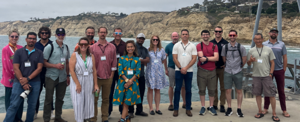
SECOORA Co-Hosts the 2026 WebCOOS Workshop In Person in La Jolla, CA
The 2026 WebCOOS Workshop convened in person on July 21-22, 2026 in La Jolla, CA. 45 attendees representing all 11 IOOS Regional Associations and national partners joined this collaborative workshop to discuss webcam-derived coastal products, stakeholder needs, and the network's transition into its next phase under IRA T2.

SET Webinar Series: Exploring Coastal Change: Digital Coast Resources
Join us on August 28, 2026, from 1:00 - 2:00 PM for the SECOORA SET Webinar Series, where we will explore coastal change using NOAA's Digital Coast resources. This webinar will bring together SET Community of Practice members and partners to learn how geospatial data and tools can support SET monitoring and place site-level observations within a broader landscape context.
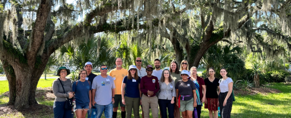
SECOORA Hosts the Second Surface Elevation Table (SET) Community of Practice Workshop In Person in Charleston
The 2nd SECOORA SET Workshop convened in person on July 16-17, 2026 in Charleston, SC. More than 30 Community of Practice members and stakeholders joined this collaborative workshop to discuss SET monitoring, coastal resilience, and data-driven decision making in the Southeast.