State public health agencies, in conjunction with local governments, routinely monitor the bacterial water quality of the Southeast’s ocean swimming beaches. These monitoring data are used in support of issuing swimming advisories, with the goal of assisting the public in making informed decisions concerning recreating in waters that could potentially cause adverse health effects. Per current EPA guidelines, agencies test for the bacterial indicator Enterococcus to determine the level of bacteria in the water, and issue water quality swimming advisories based on the results. The limitation of this process is that it takes 24-hours to process the water quality samples and know for sure what the levels of bacteria in the water were.
With SECOORA funding, University of South Carolina (USC) and the University of Maryland Center for Environmental Science (UMCES), in partnership with South Carolina Department of Health and Environmental Control (SCDHEC), have developed the web and mobile app, How’s the Beach, to assist public health, beach management, and tourism officials as well as the beach going public in making informed decisions about beach water quality. The app posts automated swimming advisories currently for Myrtle Beach in South Carolina based on the relationship between bacteria level and a suite of variables including rainfall, salinity, wind conditions and water temperature. This forecast is based on analysis of historical bacterial levels that have been correlated to other environmental factor to create a forecast model. USC, UMCES, and SECOORA are working to transfer the application to the swimming beach waters of Longboat and Lido Key region in southwest Florida.

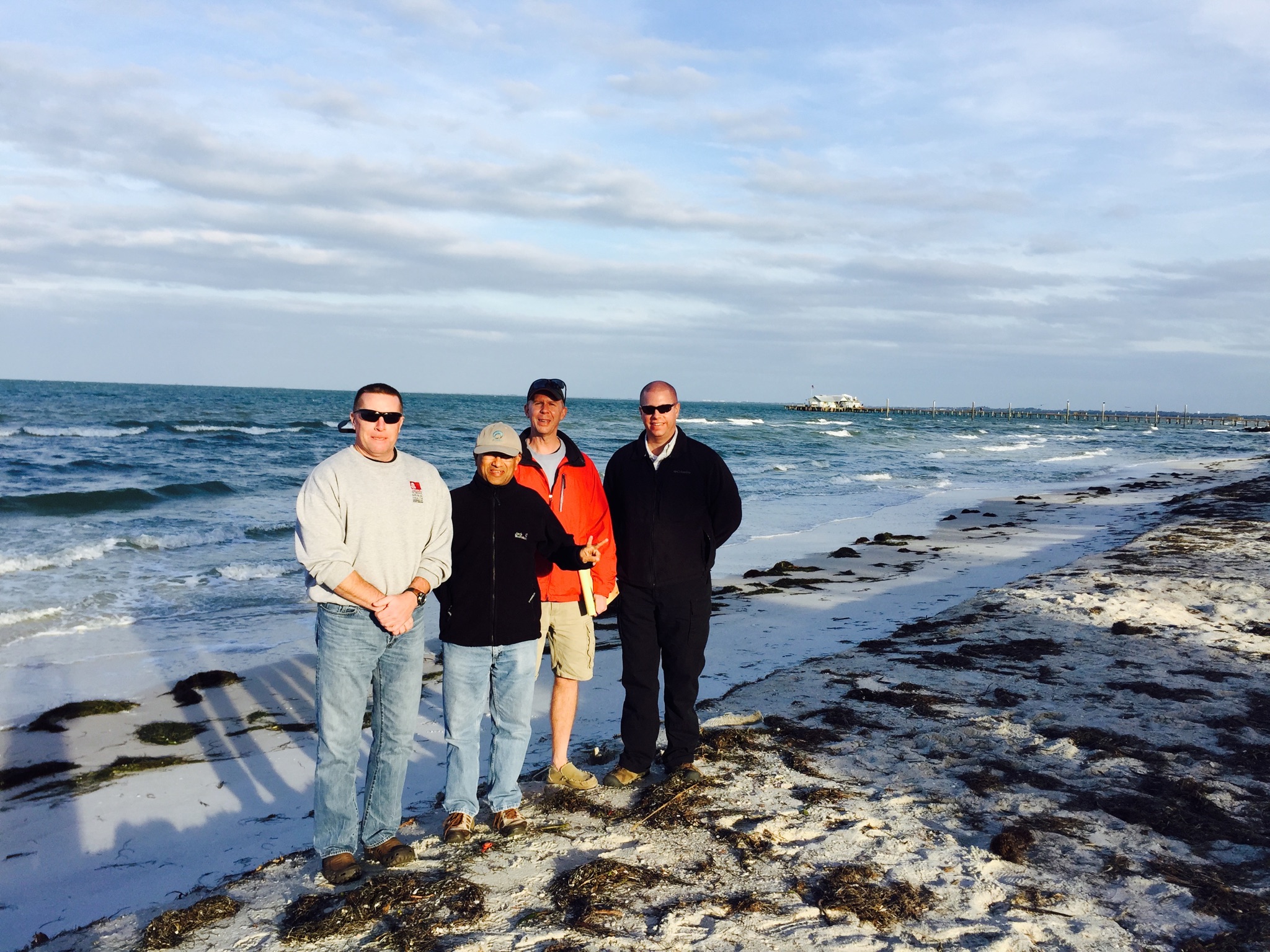
On January 8, 2015, SECOORA staff and the USC beach water quality modeling team visited the sites where beach managers in Sarasota Florida collect water quality samples. The objective was to identify factors that could be influencing the levels of bacteria in beach water, i.e. is the beach heavily utilized by dogs, are there inlets or storm drainpipes nearby, etc. This reconnaissance enables the USC team to make adjustments to the various models used to make the ensemble forecast of bacteria levels, and thus whether it is safe to swim. They also had the opportunity to talk with a local lifeguard about the beaches’ characteristics.

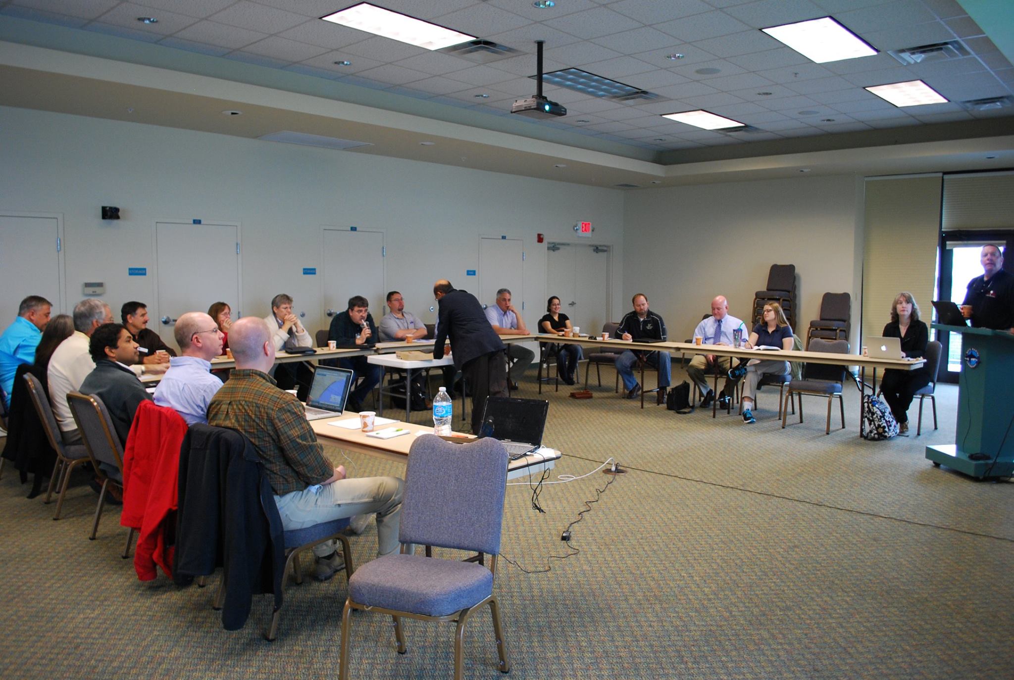
The next day, January 9, SECOORA hosted a meeting with stakeholders to discuss stakeholder’s needs and concerns about the beach water quality application, How’s the Beach. USC beach water quality modeling team provided an overview of the forecast method. Attendees included representatives from Florida Department of Health Sarasota County, Sarasota Bay Estuary Program, Florida Gulf Coast University, University of South Florida, Manatee County, National Weather Service, Mote Marine Laboratory, Gulf of Mexico Coastal Ocean Observing System Regional Association and more.
General discussion focused on how the application was developed, its functions, data gaps and concerns. Local stakeholders provided feedback on the application. The project team ensured the tool can be customized to meet user needs. See agenda and presentation for more information.
Thank you to all the stakeholders for their time to attend the meeting. Special Thank you to Mote Marine Laboratory for providing the meeting facility to host the meeting. If you have questions or are interested in participating in the projects development, please email Vembu Subramanian at vembu@secooraorgpact.wpengine.com.
More info: https://secoora.org/projects/beach_wq
*All images property of SECOORA
Related news

SECOORA Funding Opportunity Announcement: Letters of Intent Solicitation
SECOORA will submit a coordinated regional proposal in response to the anticipated FY 2026 Implementation of the U.S. Integrated Ocean Observing System (IOOS) funding opportunity. Letters of Intent to be considered for inclusion in SECOORA’s full proposal are due September 9, 2025.

SECOORA Hosts the First Surface Elevation Table (SET) Community of Practice Virtual Workshop
The SECOORA SET Workshop was virtual on July 17, 2025. More than 50 Community of Practice members and stakeholders joined this collaborative workshop to discuss SET monitoring, coastal resilience, and data-driven decision making in the Southeast.

The Sounds of the Sound: Connecting the Port Royal Sound Community with What’s in the Water
Port Royal Sound in Beaufort, South Carolina is a thriving haven for animals, plants, and people. Research focused on listening to the animals that live in the Sound – specifically the resident dolphins – connects the community with the underwater world without having to go swimming.