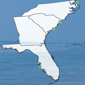
Ocean and coastal conditions are constantly changing. These three-dimensional systems function through complex chemical, geological, and biological interactions that change over time and space. In order to better understand ecosystems and our living marine resources, SECOORA focuses on fisheries, ocean sound, public health, harmful algal blooms, coral health, and coastal and ocean acidification. Some key activities include:
- Operating coastal stations, moored buoys, gliders, and high frequency radar to collect core physical and biogeochemical variables
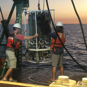
- Ocean acidification monitoring in the Gray’s Reef National Marine Sanctuary
- Model development and products to improve beach water quality advisory notices
- Partnering with the FACT Network and the South Atlantic Fishery Management Council to address fisheries research needs
Below are examples of SECOORA supported efforts related to Ecosystems: Water Quality and Living Marine Resources.
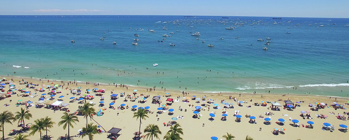
How’s the Beach?
A Daily Bacteria Forecast
Did you know bacterial levels at some swimming beaches and recreational waters are a public health concern?
How’s the Beach makes daily forecasts of bacteria conditions for Nags Head, NC, the Grand Strand and Charleston, SC, and Sarasota, FL. These forecasts do not represent swimming advisories; however, they do provide the public with information on beach water quality. Access data.
SECOORA Fills Gaps in Harmful Algal Bloom Research in the Gulf of Mexico
With SECOORA’s support, a team of scientists are working to improve our understanding of Harmful Algal Blooms on the West Florida Shelf. Focusing on the toxic dinoflagellate, Karenia brevis, the team is increasing bloom sampling efficiency and improving bloom forecasting by using a combination of ship-based sampling, glider deployments, and satellite remote sensing. Learn more.
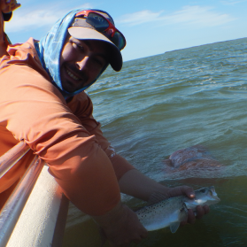
Student Funded to Research the Effects of Temperature, Habitat, and Prey Resources on Fish Movement
Congratulations to Jonathan Rodemann (pictured above) from Florida International University for being awarded the SECOORA and the FACT Network fisheries research grant. Jonathan Rodemann’s project will evaluate how habitat disturbances are affecting recreationally important fish species communities in north central Florida Bay. Learn more.
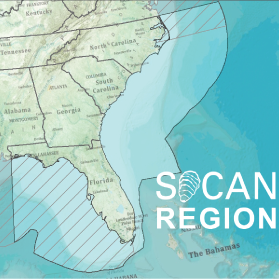
Affiliate Program: Southeast Ocean and Coastal Acidification Network (SOCAN)
SOCAN works directly with scientists, resource managers, industry experts and educators to facilitate research and discussion to address coastal and ocean acidification impacts in the U.S. Southeast.
Since its foundation, SOCAN has synthesized Southeast acidification research, established regional OA monitoring and research priorities, and developed partnerships with regional stakeholders. Learn more.