

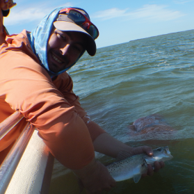
Congratulations to Jonathan Rodemann (pictured right) from Florida International University for being awarded the SECOORA and the FACT Network fisheries research grant.
Jonathan Rodemann’s project will evaluate how habitat disturbances are affecting recreationally important fish species communities in north central Florida Bay. Funding for this project, Abiotic effects on movement of Spotted Seatrout and Grey Snapper in response to a seagrass die-off, will enable Rodemann to establish a network of 24 temperature loggers needed to measure fine-scale temperature variability across two areas (figure 2). Additionally, Rodemann will tag 12 Spotted Seatrout and 12 Grey Snapper to track their movements and determine if temperature is affecting habitat use.
“I am really excited about receiving the SECOORA / FACT Network student award. Let’s go study how temperature affects fish movement in South Florida!” – Jonathan Rodemann from Florida International University
The funding for this award is provided through the generosity of our donors, The Curtis and Edith Munson Foundation, Ocean Tracking Network, Innovasea, the SECOORA Education and Outreach Committee, and many individual donors.




Related news
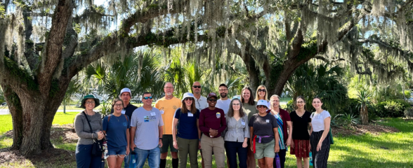
SECOORA Hosts the Second Surface Elevation Table (SET) Community of Practice Workshop In Person in Charleston
The 2nd SECOORA SET Workshop convened in person on July 16-17, 2026 in Charleston, SC. More than 30 Community of Practice members and stakeholders joined this collaborative workshop to discuss SET monitoring, coastal resilience, and data-driven decision making in the Southeast.
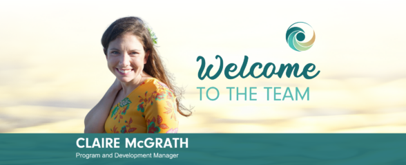
Claire McGrath Joins SECOORA as Program and Development Manager
SECOORA welcomes Claire McGrath as Program and Development Manager, supporting the Southeast & Caribbean Coastal Disaster Resilience Partnership and membership growth.

Spotlight: Mobilizing to Save Florida’s Coral Reefs
Learn how scientists are racing to save Florida's Coral Reef through coral rescue, gene banking, reef restoration, and innovative conservation efforts after disease and marine heatwaves devastated one of America's most important marine ecosystems.