

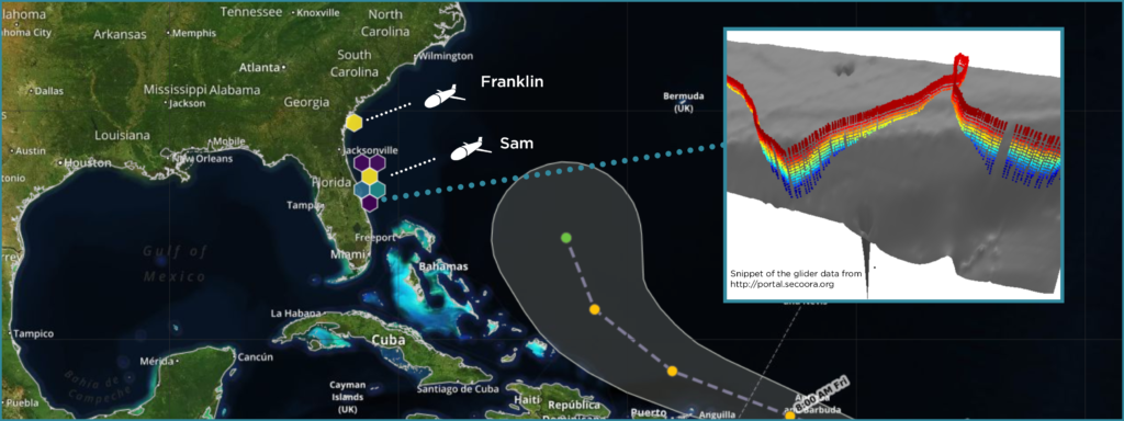
SECOORA gliders are capturing water column information ahead of Tropical Storm Jerry as he moves closer to the US. Data from gliders allows forecasters and scientists to improve predictions of the storm’s potential intensity.
Two gliders were deployed this month. The SECOORA glider Franklin (operated by UGA/SkIO) was deployed off the coast of Georgia and the USF glider Sam off the East coast of Florida.
Glider Data
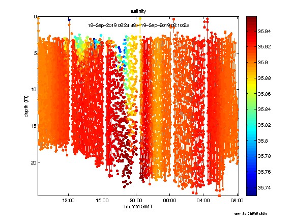
The fleet is collecting water temperature and salinity measurements throughout the water column. Every 4 hours they transmit data back to land via satellite. This data helps scientist and forecasters identify how hurricanes mix sub-surface and surface waters.
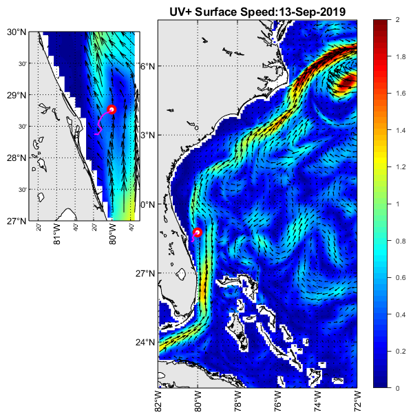
NC State University supplies daily CNAPS model output of surface currents. This model output provides context, such as the location of the Gulf Stream and Gulf Stream eddies, for the glider observations (pictured above).
Learn More
Listen to the Weather Geeks podcast, What Flies Beneath: How Underwater Gliders Can Improve Hurricane Forecasts, to learn more!
Related news

Dave Wells Joins SECOORA as Ocean Observing Systems Team Lead
SECOORA welcomes Dave Wells as Ocean Observing Systems Team Lead where he will oversee SECOORA's coastal observing system assets and data management.
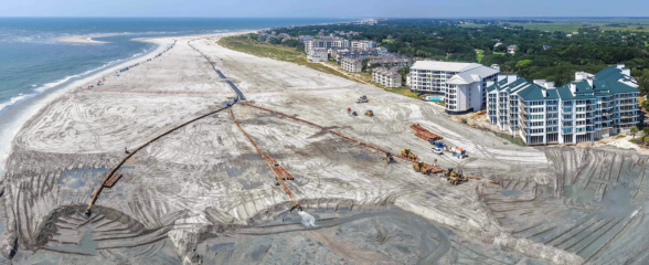
At the Water’s Edge: Lowcountry Coastlines in a Brave New World
A nor'easter's record storm tide. A stalled tropical storm. Two Lowcountry towns adapting to a new era of flooding, with SECOORA data in hand.

Above the High Tide: Water Level Sensors on the Front Line
SECOORA's Southeast Water Level Network has installed 100+ sensors across the Carolinas, Georgia, and Florida, giving communities real-time flood data.