
News
Dive into our news section for the latest in coastal ocean observation in the Southeast, featuring webinars, new data, products, and community stories.
Impact
April 28, 2025
Funding Cuts to NOAA IOOS Will Hurt the Southeast
Proposed federal funding cuts would eliminate the IOOS Regional Observations budget for next year. Contrary to the budget Congress has already approved for this year, the Executive Branch wants these proposed cuts to go into effect in 2025.
News
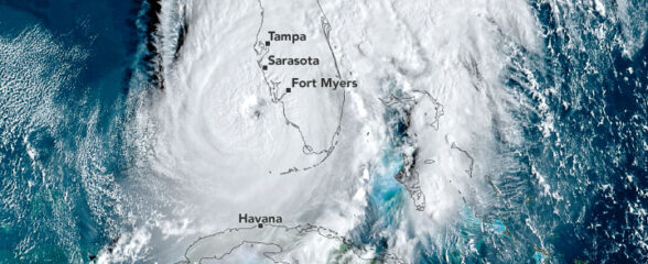
April 3, 2025
SECOORA Webinar on the Rapid Intensification of Hurricane Ian: Warm Subsurface Water on the Wide Continental Shelf
Join us Thursday, April 24th at 12 PM ET for the April installment of the SECOORA Coastal Observing in Your Community Webinar Series! This month, we will hear from Dr. Yonggang Liu from the University of South Florida. He will discuss his research on the rapid intensification of Hurricane Ian in relation to anomalously warm subsurface water on the wide...
News
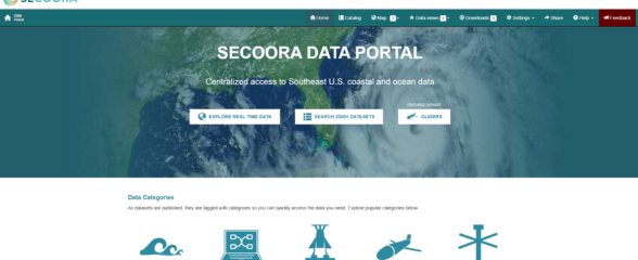
February 10, 2025
Webinar: SECOORA Data Portal Demo
Join us on Thursday, February 20, 2025 at 1:00 PM ET to learn more about the SECOORA Data Portal and how to navigate it. Axiom Data Science will be providing an overview of the portal, including how to search the Catalog and make a custom data view.
What we do:
Ensure Healthy Coastal Oceans for Resilient Futures
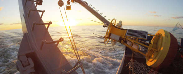
Our observing system provides access to historical and real-time coastal ocean data that advances science, technology innovation, and product development. Insights generated from our observing data ensure the right decisions are made to secure resilient futures and safeguard coastal ocean ecosystems and communities.
Cultivate Collaborative Communities
Our network of government, industry, academics, and NGOs come together to solve problems, observe, and raise awareness of our coastal ocean. We partner with communities to enhance their understanding of and response to the effects of the changing climate. Leveraging real-time data, communities are able to to monitor and proactively address issues like flooding and beach safety.
Support Innovation and Data-Driven Decision-Making
Our data and network are essential to science-based policy and management decisions and informing regional research priorities. We utilize emerging technologies to provide the information coastal communities need to thrive in a changing world and build a flourishing blue economy.


Transforming Coastal Ocean Monitoring with Web Cameras
Experience the future of coastal ocean observing with WebCOOS (Webcam Coastal Observation System). Stream real-time live camera feeds and remotely monitor flooding, study beach erosion, monitor beach usage, and identify rip currents.
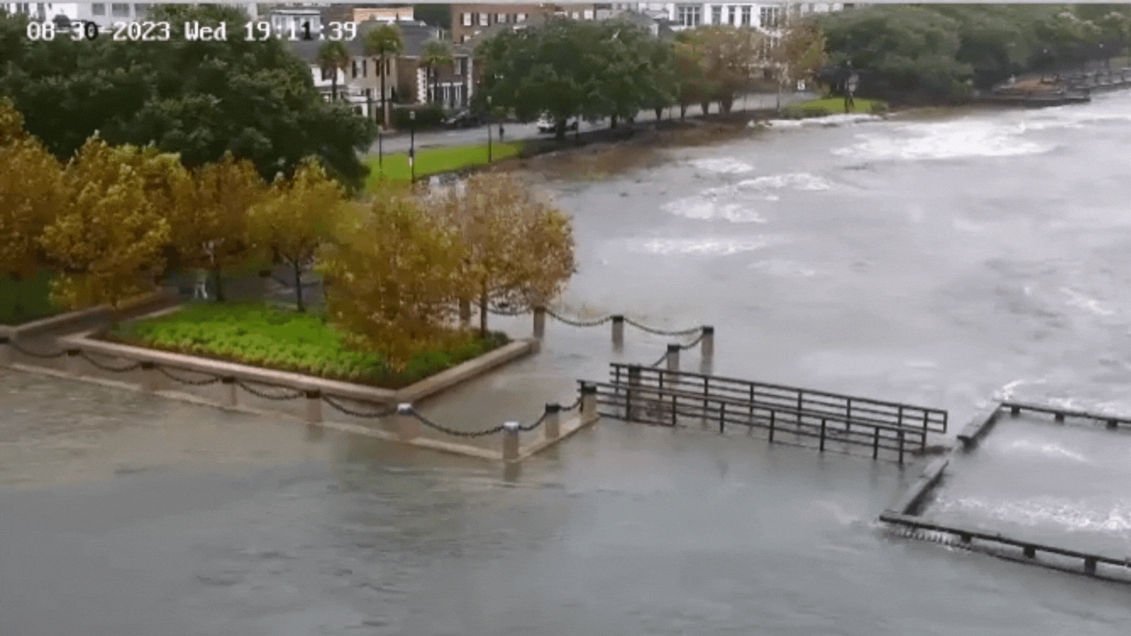
A short time lapse created from a WebCOOS camera observing storm surge during Hurricane Idalia (August 30, 2023). The camera is positioned on the Charleston Branch Pilots pier overlooking Charleston Harbor, the Cooper River, and nearby infrastructure,