

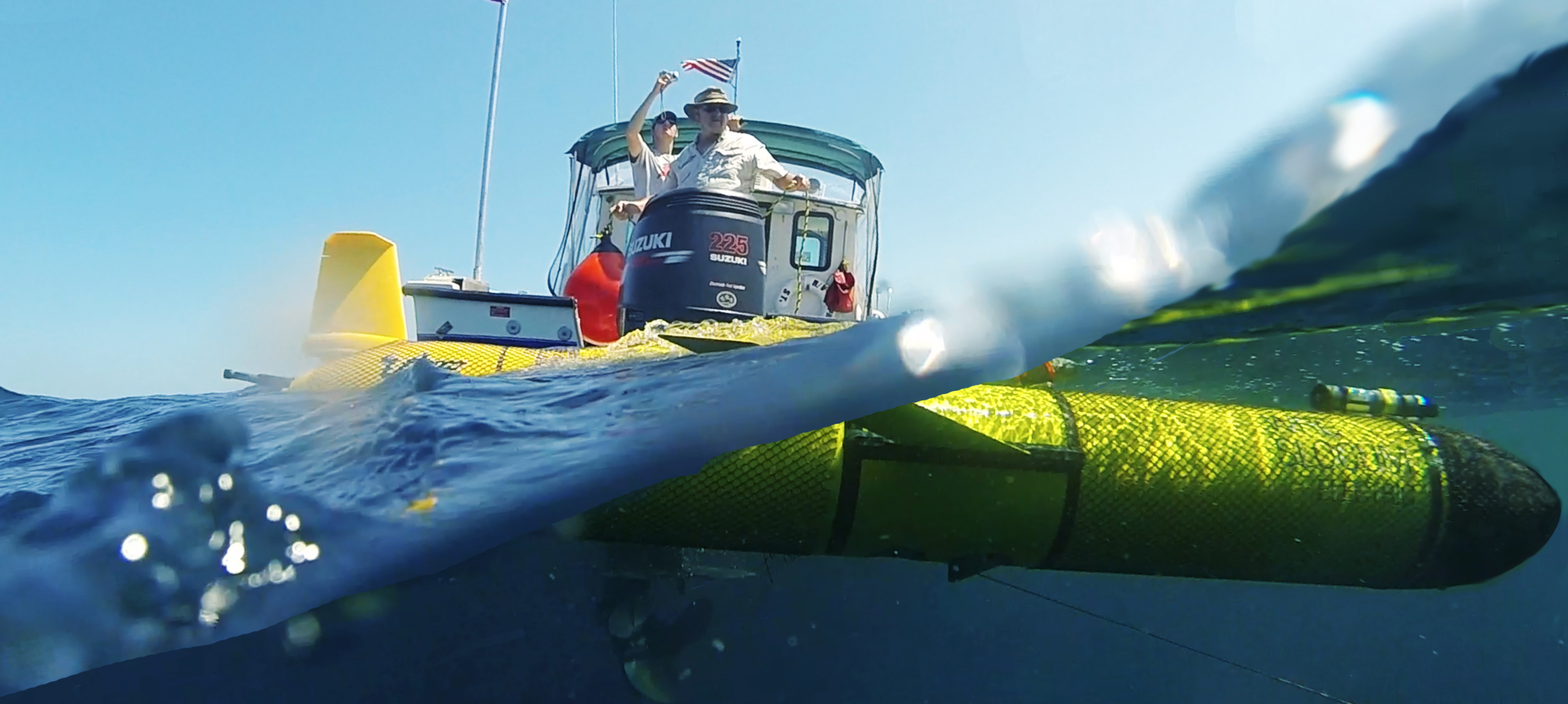
Image Credit: University of South Florida College of Marine Science
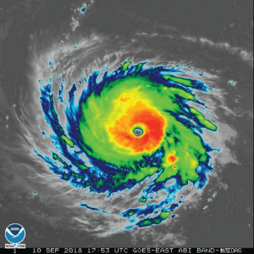 Two gliders were deployed in the South Atlantic Bight ahead of Hurricane Florence making her way to the U.S. eastern seaboard. These gliders will gather vital oceanographic information before the potential life-threatening hurricane.
The glider RAMSES was deployed off the North Carolina Outer Banks by Mike Muglia, Coastal Studies Institute. The second glider PELAGIA was deployed off the coast of South Carolina by Catherine Edwards, UGA Skidaway Institute of Oceanography. Glider operators from SkIO, UNC Chapel Hill, and the University of South Florida will track and pilot the gliders throughout the storm. RAMSES and PELAGIA are collecting and reporting water temperature and salinity measurements throughout the water column
Along the U.S. coastline, the Atlantic Ocean has temperature and salinity stratifications. Colder, denser water is beneath the warmer less dense surface waters. The gliders will help identify how hurricanes mix sub-surface and surface waters. This will enable scientists and meteorologist to determine if the cold water mixing into the warmer surface waters will weaken the hurricane (see NOAA story here).
About Gliders
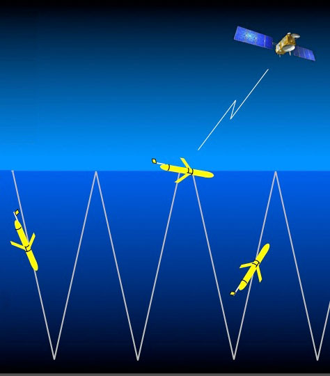 Gliders are autonomous underwater vehicles, often referred to as AUVs, that are remotely operated. They are equipped with sensors that can measure ocean properties such as water temperature, chlorophyll a, salinity and more.
The glider moves in a sawtooth pattern, up and down the water column collecting data. Every so often – even during a hurricane – they surface and transmit data by satellite. Image credited to WHOI.
Data
Data will be used by hurricane forecasters to improve predications on Hurricane Florence’s track.
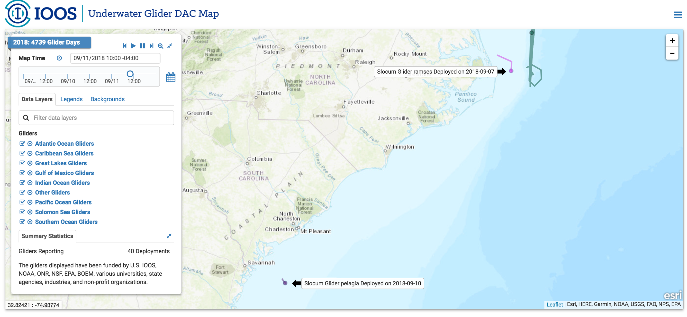
The glider tracks are available to view on U.S. IOOS Glider Map. Data will be available for viewing after the deployment.
Related news
Meet the Scientist Helping Answer: Are Our Marshes Gaining Elevation?
Meet Ches Vervaeke, the scientist bringing 20+ years of Surface Elevation Table expertise to SECOORA's marsh elevation monitoring work in the Southeast.

Webinar | Powering Coastal Aquaculture: Demonstration of Paired Tidal Energy Harvesting and Water Quality Monitoring
Join us on October 20, 2026, at 11:00 AM ET to learn how a marine energy-powered sensor platform is helping North Carolina oyster farmers monitor water quality.
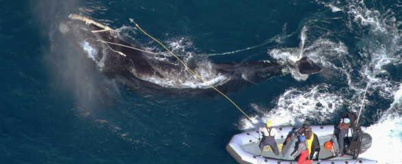
Saving the North Atlantic Right Whale: Underwater Gliders Join the Fight to Save a Species
Meet the SECOORA-funded scientists using underwater gliders and acoustic tech to protect critically endangered North Atlantic right whales.