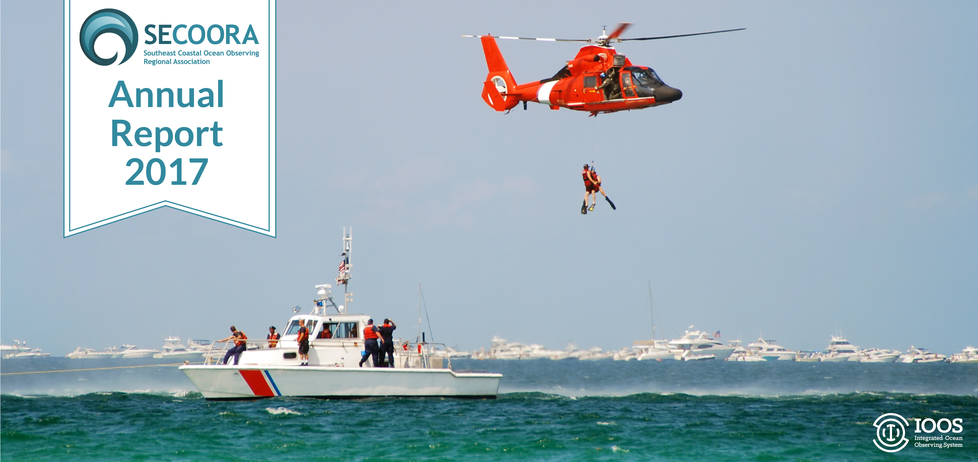
Our 2017 Annual Report is now available online! Thanks to all of our partners, stakeholders and members who make what we do possible. Below is an overview of what the report covers:
- Message from the Executive Director
- Providing Vital Data During Hurricane Season
- Leveraging Public and Private Partnerships
- Investing in the Next Generation
- SECOORA By the Numbers
- SECOORA Projects by State
- SECOORA Members
Click here to view the report and explore our 2017 activities.
Related news

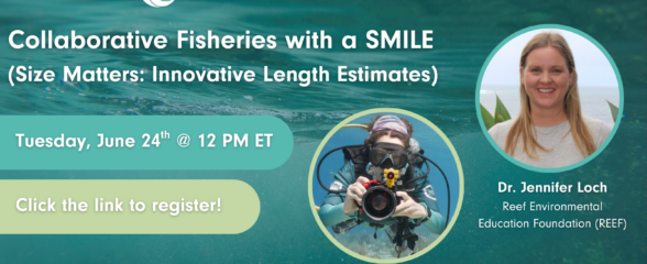
SECOORA Webinar: Collaborative Fisheries with a SMILE (Size Matters: Innovative Length Estimates)
On Tuesday, June 24th at 12 PM ET, Dr. Jennifer Loch from Reef Environmental Education Foundation (REEF) will discuss the SMILE (Size Matters: Innovative Length Estimates) project as part of SECOORA's Coastal Observing in Your Community Webinar Series.

Funding Cuts to NOAA IOOS Will Hurt the Southeast
Proposed federal funding cuts would eliminate the IOOS Regional Observations budget for next year. Contrary to the budget Congress has already approved for this year, the Executive Branch wants these proposed cuts to go into effect in 2025.

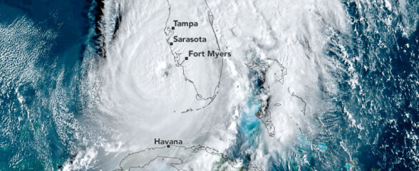
SECOORA Webinar on the Rapid Intensification of Hurricane Ian: Warm Subsurface Water on the Wide Continental Shelf
Join us Thursday, April 24th at 12 PM ET for the April installment of the SECOORA Coastal Observing in Your Community Webinar Series! This month, we will hear from Dr. Yonggang Liu from the University of South Florida. He will discuss his research on the rapid intensification of Hurricane Ian in relation to anomalously warm subsurface water on the wide...
