SECOORA has funds available to support Product Development efforts in the organization. It is critical to have a process by which funds are distributed throughout our network in a fair and transparent manner. The most equitable mechanism to make these decisions is through a proposal process. View the project focus area and proposal process SECOORA will use to distribute the currently available funds.
Please submit the completed proposal to Megan Treml by 5:00 p.m. March 1, 2011.
Related news

Measuring Surface Currents on the East Coast of Florida with High Frequency Radars
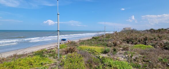
The Florida Institute of Technology and UGA Skidaway Institute of Oceanography recently installed four high frequency radars on the east coast of Florida. These systems measure the speed and direction of ocean currents, which is helpful for search & rescue operations and tracking marine debris.

The 2024 SECOORA Annual Meeting: A Huge Success!
The SECOORA Annual Meeting was held in Charleston, South Carolina May 7th - 8th. Thank you to those who attended, we hope to see you again next year!

SECOORA Partners with North Carolina Communities to Install New Water Level Sensors
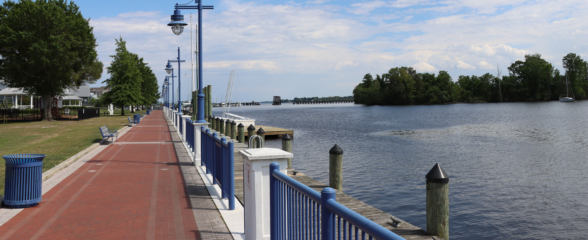
SECOORA has partnered with North Carolina Public Safety, Beaufort County Emergency Services, and the town of Belhaven to install new water level stations in two flood-prone North Carolina communities.