Tropical Storm Arthur
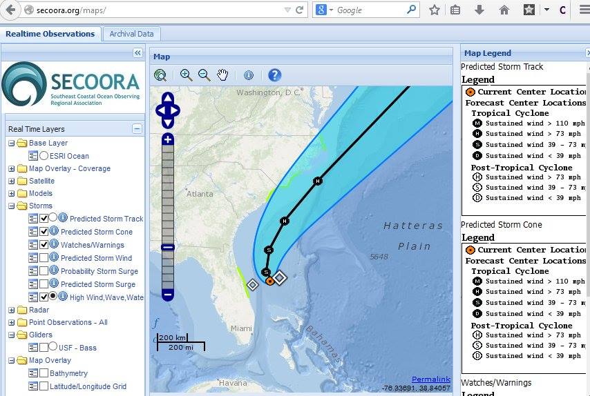
Follow Tropical Storm Arthur's path and more on our Interactive Regional Map or Marine Weather Portal. The diamonds represent an aggreagation of high wind, wave, water. The green highlighted areas along the coast of NC, SC, and FL represent watches/ warnings.
Follow our Facebook or Twitter for more frequent updates on Tropical Storm Arthur. |
|
Follow Tropical Storm Arthur's path and more on our Interactive Regional Map or Marine Weather Portal.
The diamonds represent an aggreagation of high wind, wave, water. The green highlighted areas along the coast of NC, SC, and FL represent watches/ warnings.
Follow our Facebook or Twitter for more frequent updates on Tropical Storm Arthur. |
Related news

Now Hiring: Director of Communications and External Affairs
SECOORA is seeking to fill the full-time role of Director of Communications and External Affairs. This role will serve as the organization’s strategic lead for engagement, communication, and external relations.
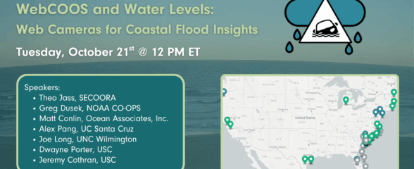
SECOORA Webinar | WebCOOS and Water Levels: Web Cameras for Coastal Flood Insights
On October 21st at 12 PM ET, SECOORA is hosting a webinar with investigators from the Webcam Coastal Observation System (WebCOOS) project team and the WebCOOS Project Manager. Web cameras are a low-cost technology that can be used to document flooding impacts to coastal communities. Register here.
SECOORA Funding Opportunity Announcement: Letters of Intent Solicitation
SECOORA will submit a coordinated regional proposal in response to the anticipated FY 2026 Implementation of the U.S. Integrated Ocean Observing System (IOOS) funding opportunity. Letters of Intent to be considered for inclusion in SECOORA’s full proposal are due September 9, 2025.