Below is a link to a short 13 question survey that will help SECOORA set priorities for future funding. It should take no longer than 10 minutes to complete.
https://www.surveymonkey.com/r/SECOORA_Member_Survey_2014
The purpose of the survey is to assess data and information needs, which will assist us with identifying priorities and gaps. We strongly encourage you to please share the survey within your networks and pass along to your colleagues.
Related news

Measuring Surface Currents on the East Coast of Florida with High Frequency Radars
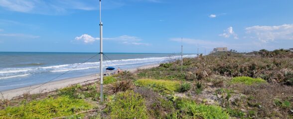
The Florida Institute of Technology and UGA Skidaway Institute of Oceanography recently installed four high frequency radars on the east coast of Florida. These systems measure the speed and direction of ocean currents, which is helpful for search & rescue operations and tracking marine debris.

The 2024 SECOORA Annual Meeting: A Huge Success!
The SECOORA Annual Meeting was held in Charleston, South Carolina May 7th - 8th. Thank you to those who attended, we hope to see you again next year!

SECOORA Partners with North Carolina Communities to Install New Water Level Sensors
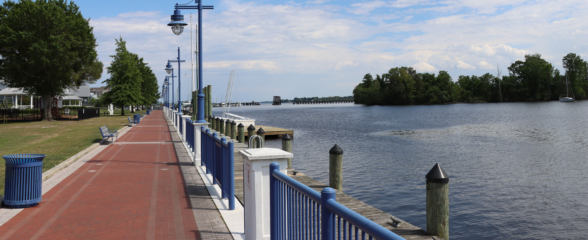
SECOORA has partnered with North Carolina Public Safety, Beaufort County Emergency Services, and the town of Belhaven to install new water level stations in two flood-prone North Carolina communities.