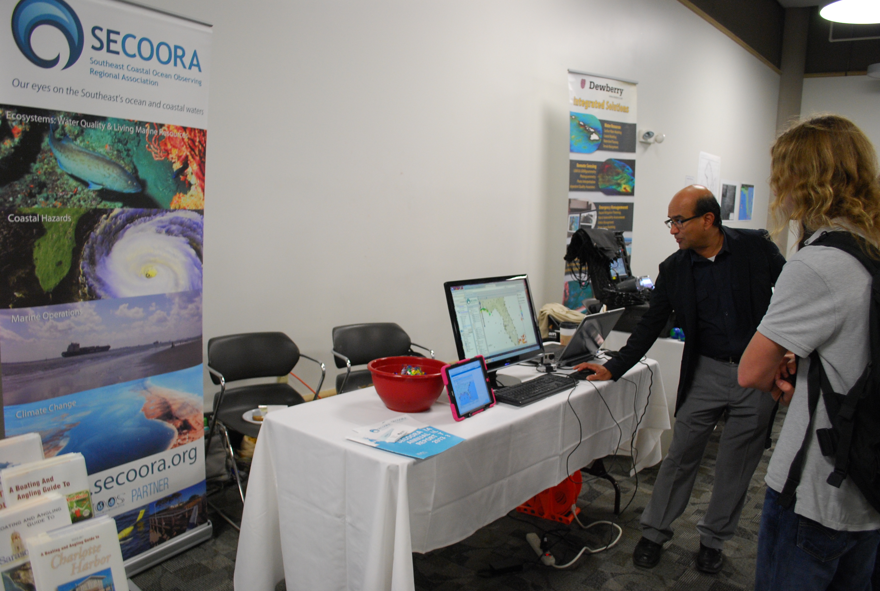
GIS Day 2014
This year SECOORA showcased their interactive maps during GIS day, November 18, 2014 at University of South Florida St. Petersburg. SECOORA teamed with member organizations, such as FWRI, to educate children in middle and high school about real-world applications of GIS.
Students learned how to navigate SECOORA’s Interactive Regional Map, Marine Weather Portal, Biological Habitat/Physical Data Viewer, Beach Water Quality Model and the newly released Climatology Tool. We look forward to participating again next year.
All Images Property of SECOORA
This year SECOORA showcased their interactive maps during GIS day, November 18, 2014 at University of South Florida St. Petersburg. SECOORA teamed with member organizations, such as FWRI, to educate children in middle and high school about real-world applications of GIS.
Students learned how to navigate SECOORA’s Interactive Regional Map, Marine Weather Portal, Biological Habitat/Physical Data Viewer, Beach Water Quality Model and the newly released Climatology Tool. We look forward to participating again next year.
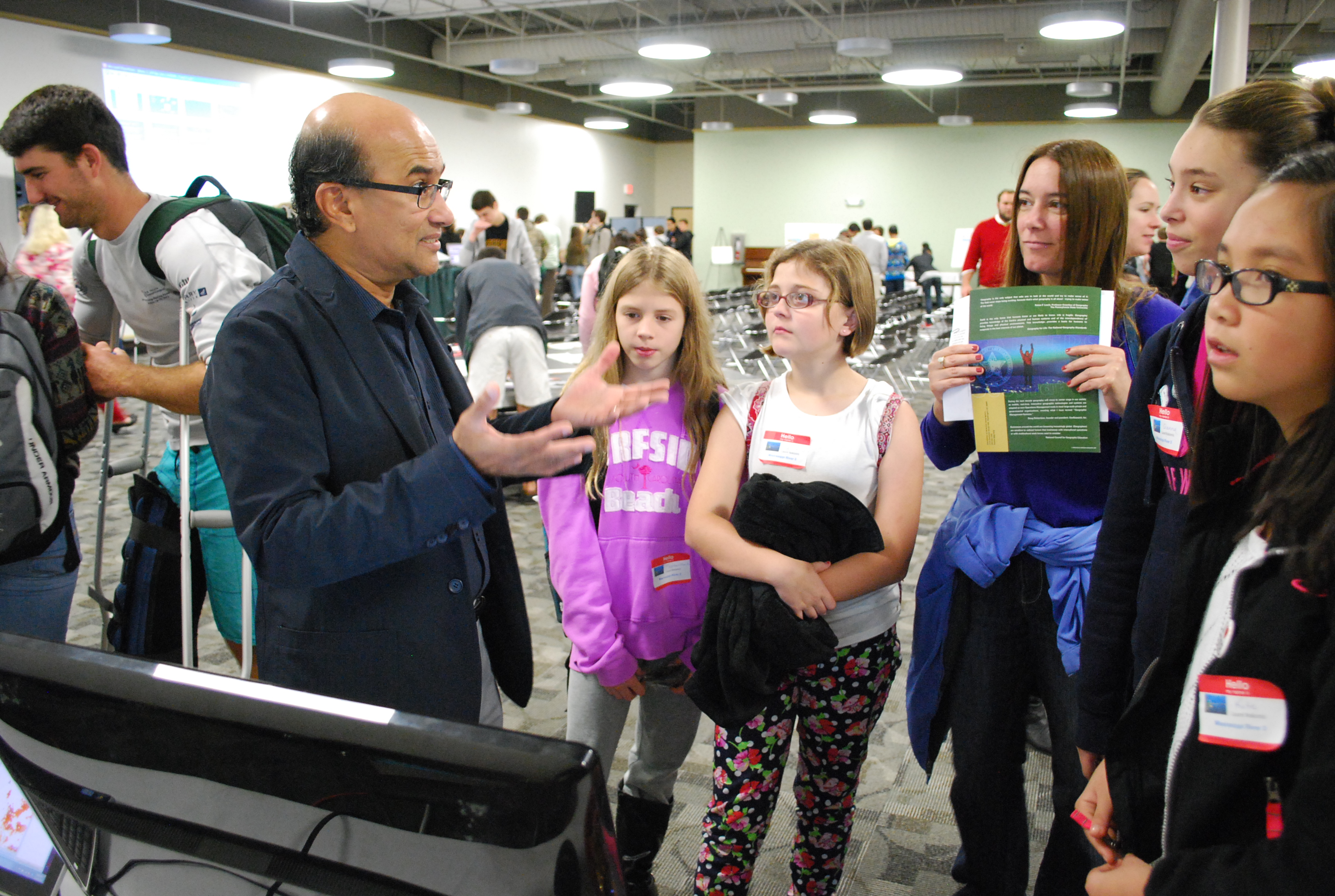
All Images Property of SECOORA
Related news
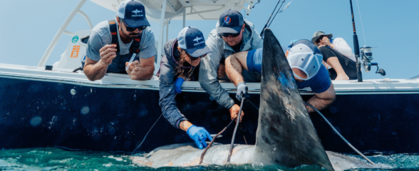
Reimagining the Deep: BioTrack’s Quest to Map Marine Biodiversity Hotspots
Discover how the BioTrack initiative uses advanced satellite and acoustic animal tracking to map marine biodiversity hotspots and protect endangered wildlife.
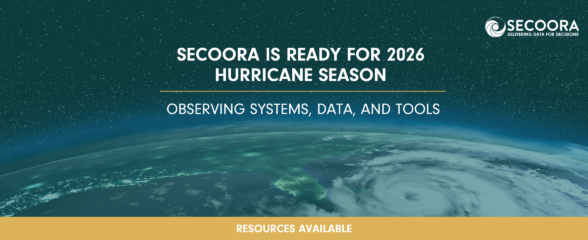
SECOORA Is Ready for the 2026 Hurricane Season
Hurricane season is here and SECOORA’s resources are available to help you stay informed. From real-time buoy data and live webcam feeds to ocean gliders and storm surge models, our network of observing systems is ready to support forecasters, emergency managers, researchers, and coastal communities throughout the Southeast.

Species Spotlight: Trichodesmium
Discover the remarkable role of Trichodesmium, a microscopic cyanobacterium that helps fuel life across the ocean. In this Species Spotlight, explore how researchers supported by the Marine Biodiversity Observation Network (MBON) are using imaging technology, genomics, and eDNA to better understand this “shape-shifting” organism and its influence on marine ecosystems, ocean health, and coastal economies.