

Three buoys in the coastal waters of North Carolina and South Carolina will soon be replaced.
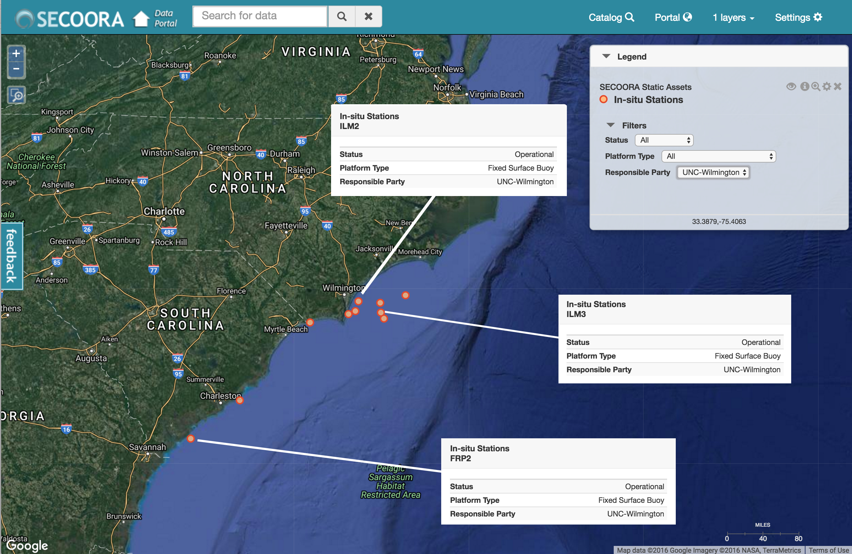
Figure 1. Pictured are the UNCW Coastal Ocean Research and Monitoring Program (CORMP) buoys on the SECOORA Data portal. Scheduled for deployment in the first week of the November, the updated buoys will replace the currently deployed FRP2, ILM2 and ILM3 stations (highlighted). FRP2 buoy stopped transmitting data on October 7 during Hurricane Matthew.
Over the past months the UNCW CORMP team restored old buoys, designed and tested the data collection, sensor and telemetry packages, and upgraded the solar power systems.
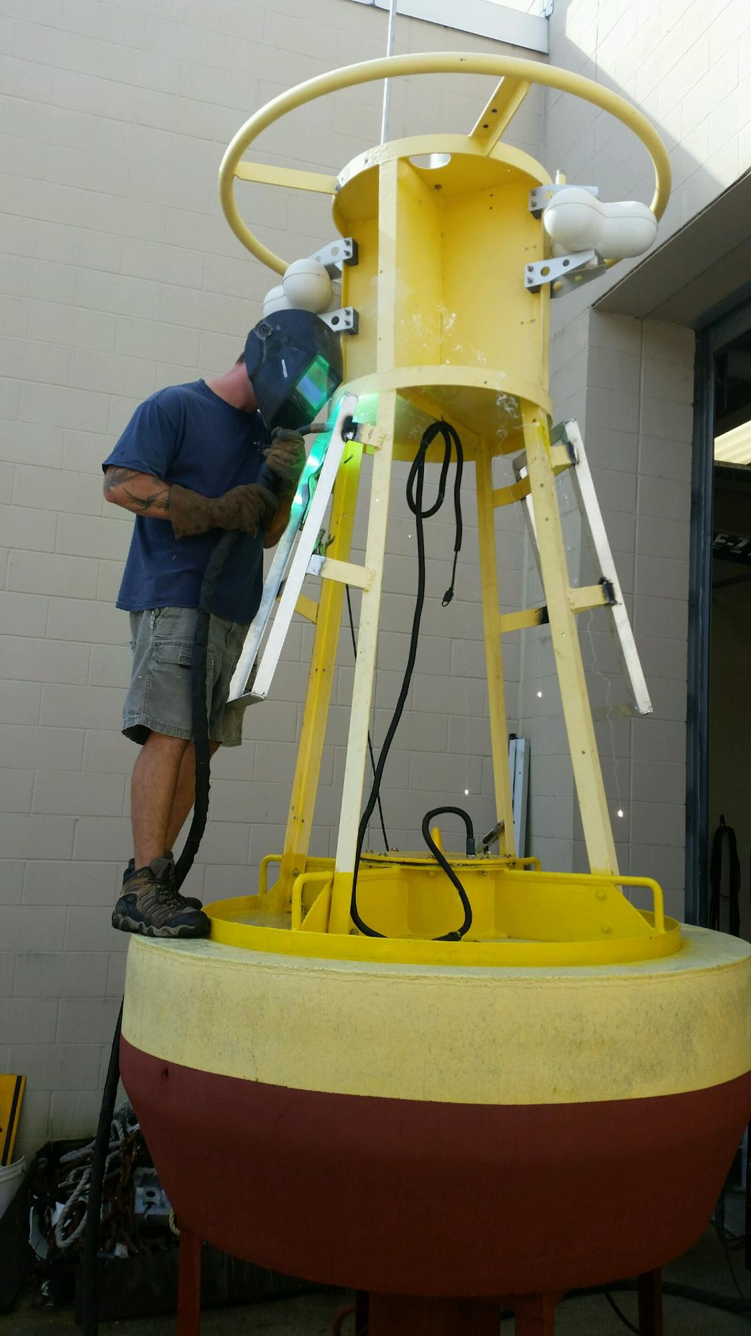
Figure 2. Chris LaClair of UNCW CORMP is welding on new solar panel frames. The buoys rely on photovoltaic panels to provide power for sensors, data loggers and communications. Image Credit: Brett Bolton, UNCW CORMP
The CORMP team replaces the buoys with new systems approximately every year. Due to last minute changes and failures at other stations, the current ILM2 buoy has been in the water since 2014. Upgrades to the systems being deployed include a more robust power system as well as secondary meteorological sensors. Increased power on the buoy will allow for more data transmission and having a secondary sensor onboard insures continuity in data collection.
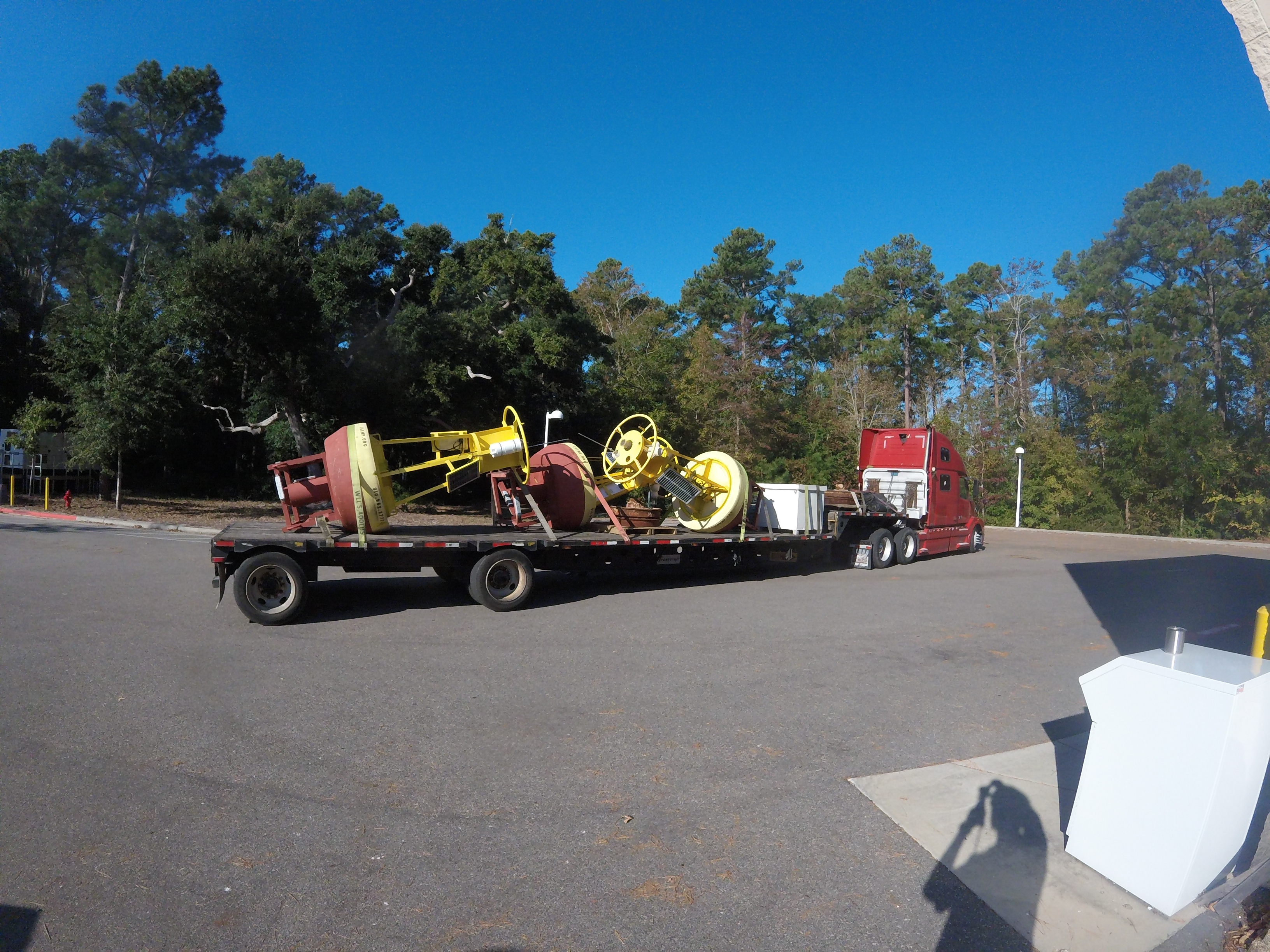
Figure 3. Buoys are on the truck ready to travel to the UGA’s Skidaway Institute of Oceanography where they will be loaded onto the Research Vessel Savannah. The research cruise will head out to sea in the first week of November. Image Credit: Brett Bolton, UNCW CORMP
The buoys are maintained by Coastal Ocean Research and Monitoring Program at the University of North Carolina Wilmington Center for Marine Science with funding from the NOAA led U.S. IOOS and SECOORA. Access UNCW CORMP buoy data here.
Related news
At the Water’s Edge: Lowcountry Coastlines in a Brave New World
A nor'easter's record storm tide. A stalled tropical storm. Two Lowcountry towns adapting to a new era of flooding, with SECOORA data in hand.

Above the High Tide: Water Level Sensors on the Front Line
SECOORA's Southeast Water Level Network has installed 100+ sensors across the Carolinas, Georgia, and Florida, giving communities real-time flood data.
SECOORA is Hiring a Grants Manager
SECOORA is hiring a Grants Manager to lead grant and subaward management across a four-state coastal ocean observing network. Based in the Southeast US. Apply now.