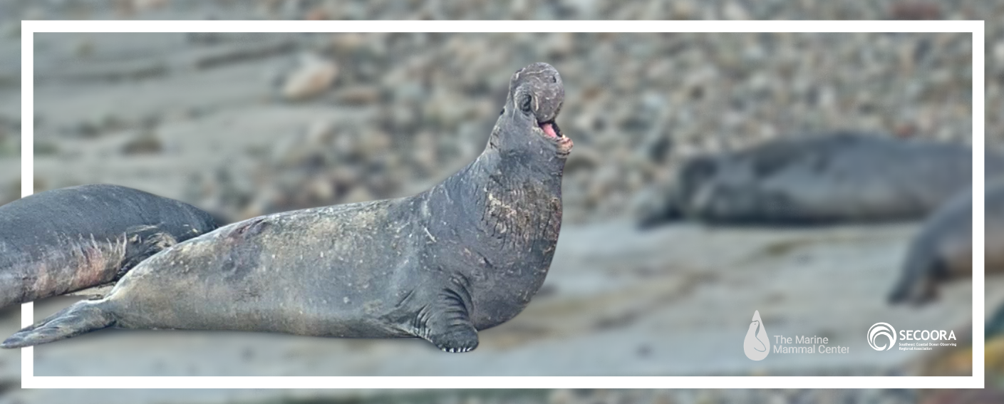
The public can now watch marine mammal releases by The Marine Mammal Center in Point Reyes National Seashore thanks to a new web camera (webcam).
The Marine Mammal Center advances global ocean conservation through marine mammal rescue and rehabilitation, scientific research, and education. A key aspect of their rehabilitation process is release back to the wild. Their primary release sites are quiet, non-public beaches in areas known to have abundant food resources, including Point Reyes National Seashore in California.
Recently, The Marine Mammal Center, National Park Service (NPS), and NOAA’s Center for Operational Oceanographic Products and Services (CO-OPS) partnered to install a webcam at the CO-OPS tide gauge at Point Reyes to allow the public to observe marine mammal releases. But, the partnerships did not have a method for storing the images and videos or making the historic footage accessible. The historic imagery has many potential uses, including viewing previous releases, training artificial intelligence models to detect different species, and tracking high water events and erosion.
“For CO-OPS this is a great example of leveraging our state-of-the art tide gauges to collect additional environmental observations. Cameras have tremendous potential to monitor physical changes along our coastlines, including observing the impacts of coastal flooding on our natural and built landscapes. We are thrilled to be able to partner with The Marine Mammal Center, National Park Service, and SECOORA, and look forward to similar collaborations at additional tide gauges in the future,” said Gregory Dusek, Senior Scientist at NOAA’s Center for Operational Oceanographic Products and Services.
How WebCOOS helped
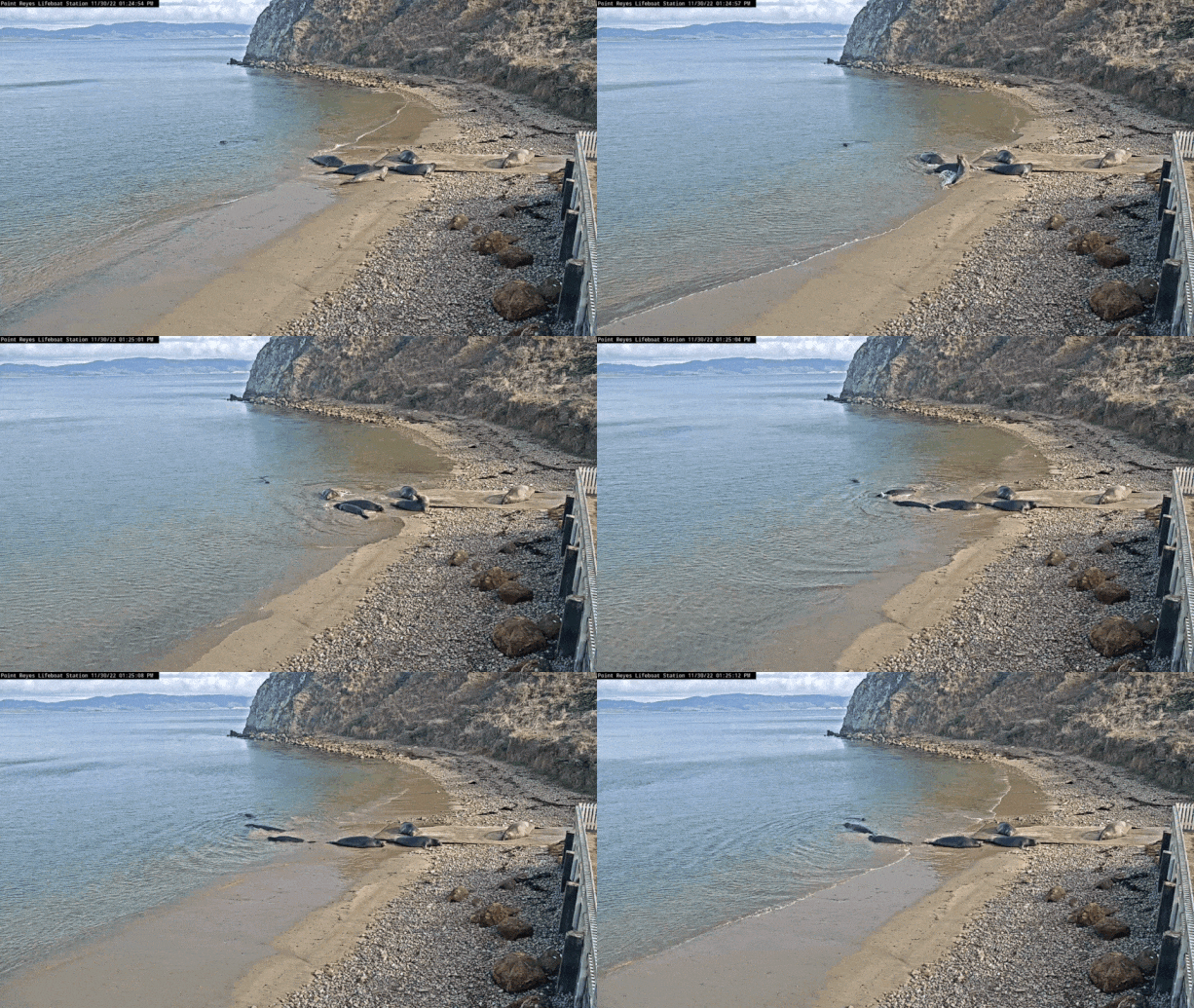
WebCOOS, the Webcams for Coastal Observation System, is a network of low-cost webcams throughout the Southeast being implemented by SECOORA with a team of researchers. WebCOOS is partnering with a variety of organizations, including The Marine Mammal Center, to pull in the video stream and store and disseminate the historic footage at webcoos.org.
WebCOOS is designed to inform quantitative scientific analysis, public safety, and resource management for coastal communities. WebCOOS established standardized data processing and management methodology to provide stakeholders with actionable information from webcams.
Impact
This partnership with WebCOOS enables The Marine Mammal Center and NPS to reference and utilize the historic data to support their programs and will allow for other users to access the data. To help improve their rip current forecast model, researchers on the WebCOOS team are evaluating the applicability of the camera feed for rip current detection and monitoring.
“The livestream footage from the webcam at Point Reyes National Seashore is not only a valuable real-time tool for the The Marine Mammal Center to help monitor our patient releases and current elephant seal rookery numbers,” said Justin Hodges, Northern Range Operations Manager at The Marine Mammal Center. “The stored historic video footage gathered through the partnership with WebCOOS will also provide key data for elephant seal population counts and the timing of annual pupping season as well as aiding in reducing wildlife harassment violations during these crucial birthing and nursing times.”
In addition to watching the live or archival webcam footage on the WebCOOS site, the public can text RELEASE to 65179 to receive text alerts on release days as well as marine mammal stories, news and more from The Marine Mammal Center (Message and data rates may apply. Text STOP to stop. Terms & Conditions).
Partners
Related news
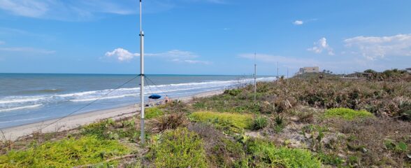
Measuring Surface Currents on the East Coast of Florida with High Frequency Radars
The Florida Institute of Technology and UGA Skidaway Institute of Oceanography recently installed four high frequency radars on the east coast of Florida. These systems measure the speed and direction of ocean currents, which is helpful for search & rescue operations and tracking marine debris.
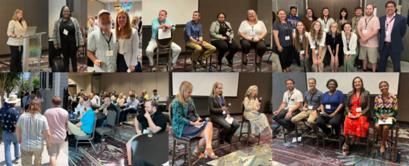
The 2024 SECOORA Annual Meeting: A Huge Success!
The SECOORA Annual Meeting was held in Charleston, South Carolina May 7th - 8th. Thank you to those who attended, we hope to see you again next year!
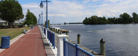
SECOORA Partners with North Carolina Communities to Install New Water Level Sensors
SECOORA has partnered with North Carolina Public Safety, Beaufort County Emergency Services, and the town of Belhaven to install new water level stations in two flood-prone North Carolina communities.
