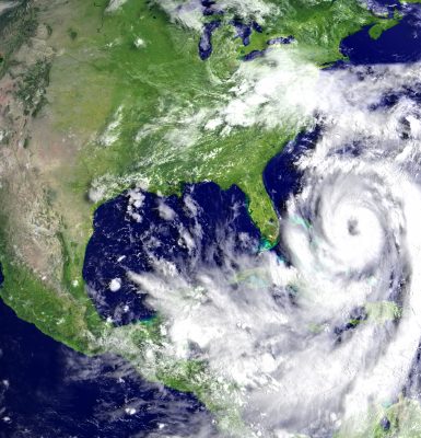
“Being chosen as a winner of the SECOORA Data Challenge is an honor! This project aims to provide an exciting new web tool showing the location and properties of eddies within SECOORA coastal high frequency radar coverage areas.”
Douglas Cahl, University of South Carolina College of Arts and Sciences
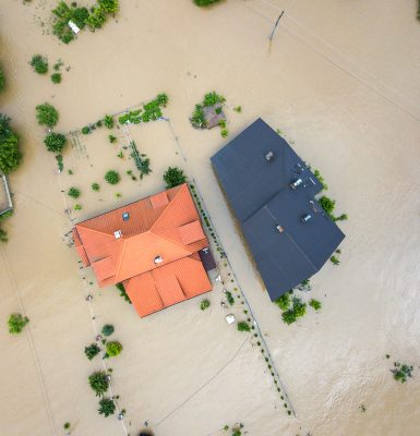
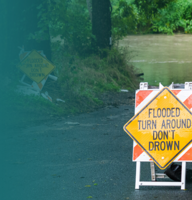
2024 | Integrating Monitoring Systems to Support Coastal Communities
2023 | Integrating Data to Understand a Coastal Ocean Event
2022 | Integrating Data to Understand a Coastal Ocean Event
understand an environmental coastal ocean event.
2021 | Using Buoy and Shore Station Data to Meet User Needs
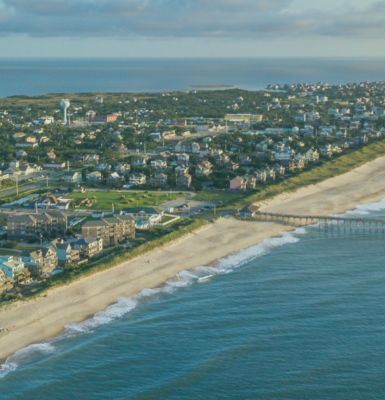
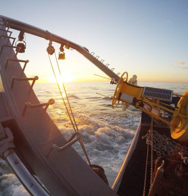
2020 | Using High Frequency Radar Data to Meet User Needs
2019 | Using Web Camera Data for Environmental Monitoring
2017 | Using Data to Meeting Stakeholder Needs
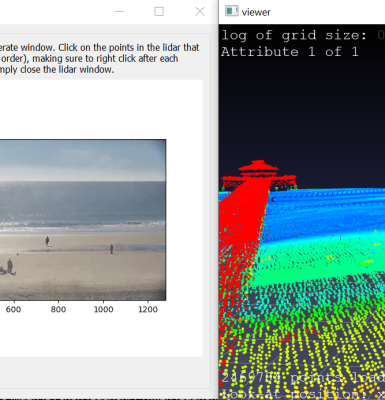
“Our team is very honored to have been selected to receive the 2019 data challenge award. Working with SECOORA and their WebCAT cameras will provide us with the resources, support, and opportunity to create and share our dune erosion algorithm with potential end-users. This algorithm will provide a valuable method for quickly detecting the timing and duration of dune erosion events and providing additional validation data for coastal erosion models developed by the USGS, NOAA, and others. We are extremely grateful for this opportunity and are excited to work with SECOORA on this project.”
Deanna Edwing and Kelsea Edwing, University of North Carolina Wilmington
Data Challenge Awardees
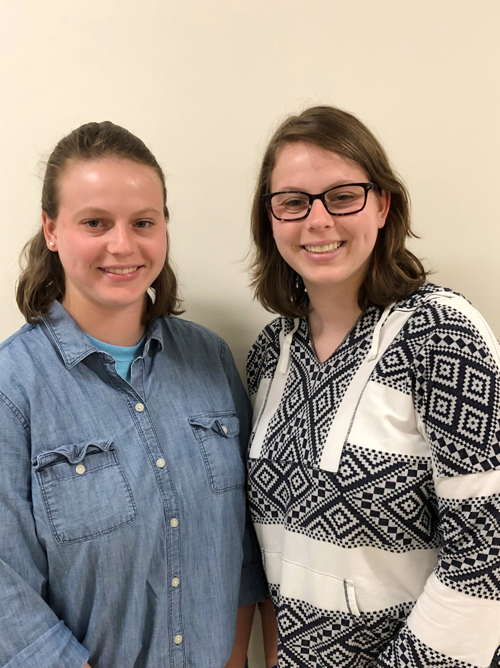
Ananya Shetty
2024 Category 1 Team Awardee
Georgia Institute of Technology

Prasun Banerjee
2024 Category 1 Team Awardee
Georgia Institute of Technology
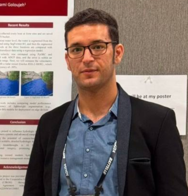
Matthew Hatami
2024 Category 2 Awardee
University of South Carolina
Kaylee Mooney
2023 Category 2 Awardee
Florida Gulf Coast University
Tim Hesford
2022 Category 1 Awardee
University of North Carolina Wilmington
Owen Silvera
2022 Category 2 Awardee
Florida Atlantic University
Cody Benton
2021 Category 1 Awardee
University of North Carolina Wilmington
Jason (Jay) Law
2021 Category 2 Awardee
University of South Florida College of Marine Science
Douglas Cahl
2020 Category 2 Awardee
University of South Carolina College of Arts and Sciences
Matthew Conlin
2019 Category 2 Awardee
University of Florida
Deanna Edwing and Kelsea Edwing
2019 Category 1 Awardee
University of North Carolina Wilmington
John Mwaniki
2017 Category 1 Awardee
Kennesaw State University
Samantha Dowdell
2017 Category 1 Awardee
University of Miami