
SECOORA is honored to announce the 2020 Data Challenge winner is Douglas Cahl from the University of South Carolina. Douglas will analyze SECOORA High frequency radar (HF radar) data and create a visualization tool to identify eddies.
“Being chosen as a winner of the SECOORA Data Challenge is an honor! This project aims to provide an exciting new web tool showing the location and properties of eddies within SECOORA coastal HF radar coverage areas.” – Douglas Cahl, University of South Carolina (pictured right)
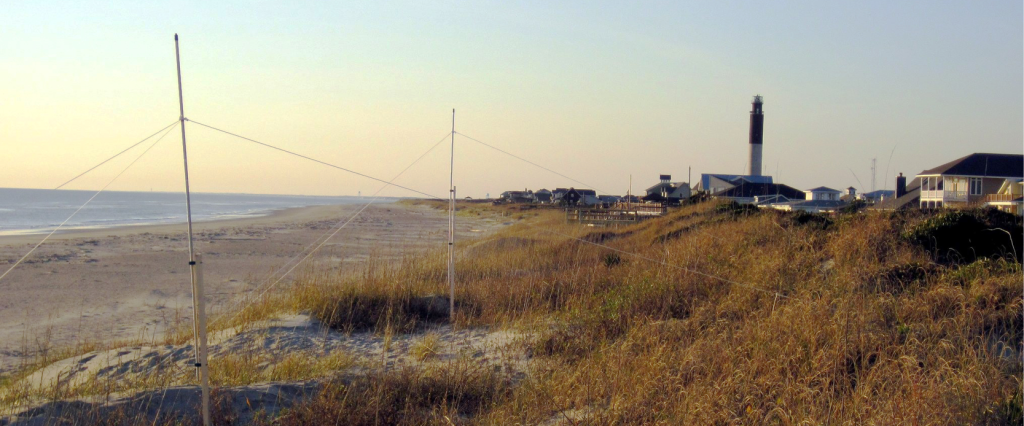
HF radars are land-based systems that measure the speed and direction of ocean surface currents in near real-time. SECOORA supports 16 HF radar in the southeastern U.S.
Eddies are smaller, temporary loops of swirling water that break off from the main current. In the southeast, the eddies break off from the Gulf Steam and help transport nutrients, chemicals, and even larval fish over large distances (more info).
Unlike satellite data, HF radar surface current measurements are available 24/7, rain or shine. Leveraging HF radar’s unique data set within the SECOORA region, an eddy analysis and visualization tool will provide value for both fishermen and researchers.
Keep a look out for the new tool in 2021.
Related news

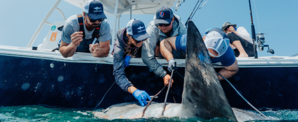
Reimagining the Deep: BioTrack and the Whitespotted Eagle Rays of Florida’s Indian River Lagoon
Join FAU researchers as they track endangered whitespotted eagle rays in Florida’s Indian River Lagoon using advanced BioTrack acoustic and video tags.
Reimagining the Deep: BioTrack’s Quest to Map Marine Biodiversity Hotspots
Discover how the BioTrack initiative uses advanced satellite and acoustic animal tracking to map marine biodiversity hotspots and protect endangered wildlife.
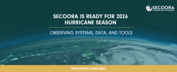
SECOORA Is Ready for the 2026 Hurricane Season
Hurricane season is here and SECOORA’s resources are available to help you stay informed. From real-time buoy data and live webcam feeds to ocean gliders and storm surge models, our network of observing systems is ready to support forecasters, emergency managers, researchers, and coastal communities throughout the Southeast.