Drones in the Coastal Zone Workshop
Drones are rapidly growing components of research, assessment, and monitoring of coastal regions within the U.S. Southeast and the Caribbean.
The Drones in the Coastal Zone virtual workshop series was held in October 2020. This series covered aspects of drone technology including governmental policy and procedures, mission planning, data management, demonstrations on emerging drone technologies, and more. There were over 250 participants from Florida, Georgia, South Carolina, North Carolina, and the Caribbean.
The objectives for the workshop were to:
- Identify information gaps in coastal ecosystem management that could be addressed by drones
- Assess UAS expertise and experiences across the coastal southeast US and Caribbean regions
- Discuss regulatory, policy and ethical concerns in drone applications
- Demonstrate emerging techniques and technologies in UAS
- Share best practices for drone mission planning, operations and data management
- Establish a community of practitioners, data users and stakeholders to understand the need for regional drone community of practice
All sessions were recorded and can be found below.
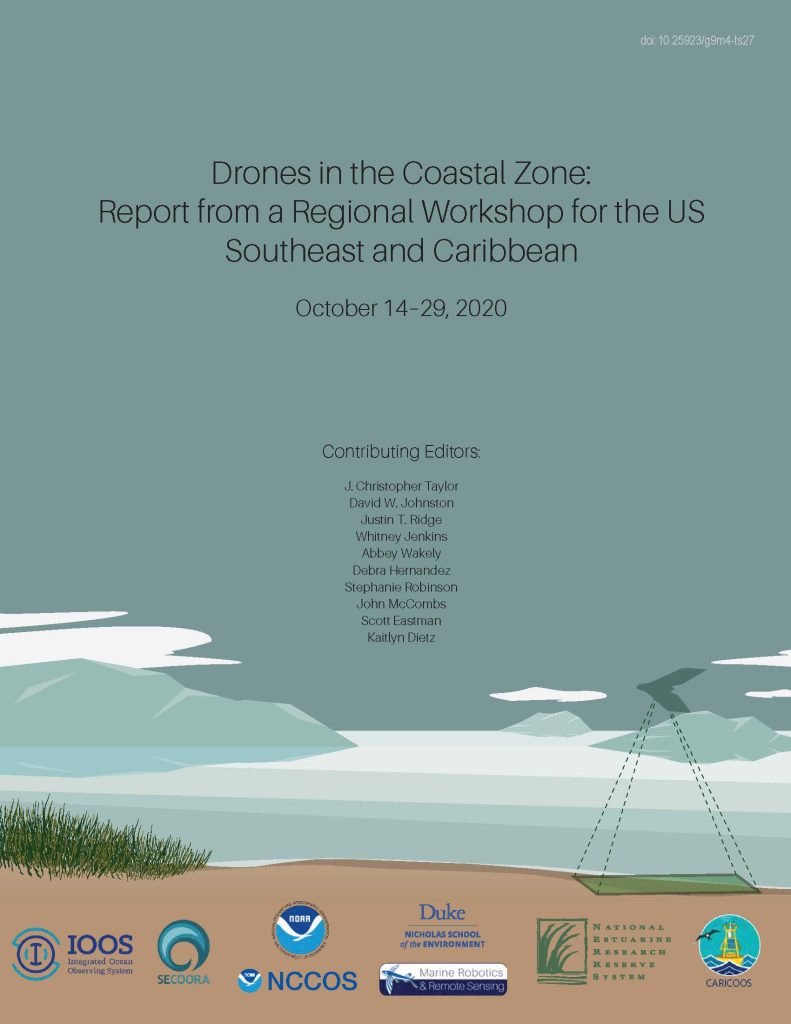
Workshop Report
Highlights in the report include:
- Advances in drone applications for monitoring coastal habitat condition, assessing hazards and damage, and observing wildlife populations.
- Overviews of federal and state government approaches to regulations, policies and best practices for legal and ethical considerations in operating drones in public spaces.
- Recommendations for a regional drone community of practice to expand training opportunities as well as collaboration across sectors to tackle emerging coastal ecosystem management challenges.
Click here to download the workshop report.
Drones in the Coastal Zone Workshop Webinars
Session 1: Introduction to using Drones in the Coastal Zone
Session 1 Materials
Session 2: Environmental Quality and Habitat Condition
Session 2 Materials
There are no materials for this session.
Session 3: Incorporating Training in your Drone Program and Coastal Hazard and Damage Assessment
Session 3 Materials
There are no materials for this session.
Session 4: Regulatory Legal and Ethical Considerations for Drone Operations
Session 4 Materials
Session 5: Data Management and Communications and Mission Planning Introduction
Session 5 Materials
There are no materials for this session.
Session 6 : Using Drones to Conduct Species / Wildlife Management
Session 6 Materials
- MorphoMetriX Photogrammetry Walkthrough (video)
- MorphoMetriX: a photogrammetric measurement GUI for morphometric analysis of megafauna (paper)
- CollatriX: A GUI to collate MorphoMetriX outputs (paper)
- A standardized protocol for reporting methods when using drones for wildlife research (paper)
- Operational Protocols for the Use of Drones in Marine Animal Research (paper)
Uncrewed Aircraft Systems Executive Education Courses
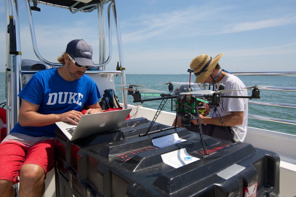
Seven individuals from the Southeast and Puerto Rico were selected to attend three Uncrewed Aircraft Systems (aka UAS or drones) executive education courses offered by the Nicholas School of the Environment at Duke University. This opportunity is sponsored by the NOAA Southeast and Caribbean Regional Team, U.S Integrated Ocean Observing System, and SECOORA. See the SECOORA press release to learn how course content will be applied to each person’s work and research.
Thank You Sponsors
