Meet the winners selected to attend three Uncrewed Aircraft Systems (aka UAS or drones) executive education courses offered by the Nicholas School of the Environment at Duke University sponsored by NOAA Southeast and Caribbean Regional Team, U.S Integrated Ocean Observing System, and the Southeast Coastal Ocean Observing Regional Association (SECOORA). Drones are rapidly growing components of research, assessment, and monitoring of coastal regions within the U.S. Southeast and the Caribbean. Read below to learn how this valuable knowledge will be applied to each person’s work and research.
Access the Drones in the Coastal Zone site for workshop information and to watch the workshop webinars. The webinars cover many aspects of drone technology and regulations for flight operations, including governmental policy and procedures, mission planning, data management, demonstrations on emerging drone technologies, and more.
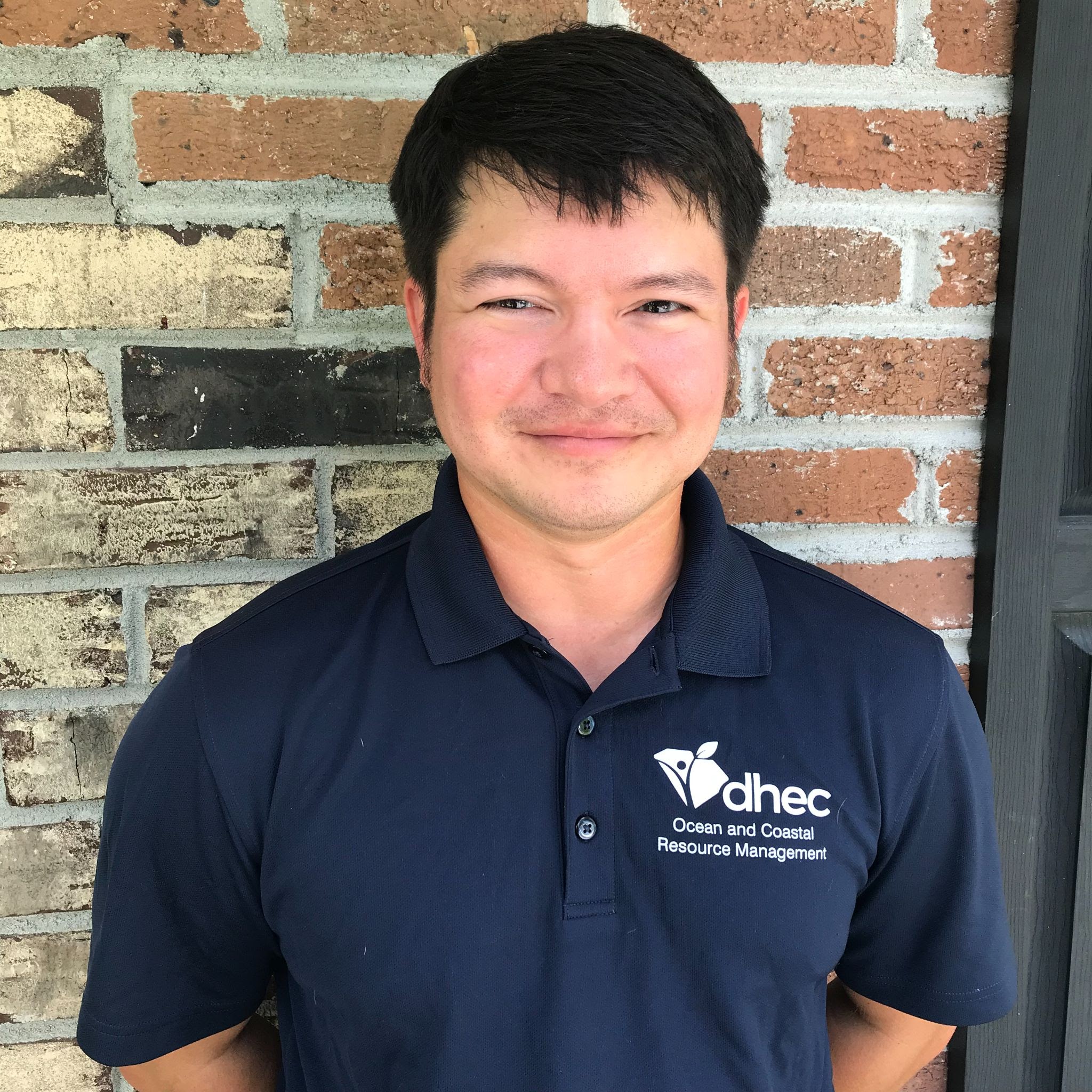
Benjamin Stone
Enhancing UAV Capabilities for South Carolina’s Department of Health and Environmental Control’s Office of Ocean and Coastal Resource Management
Project Background
As an Environmental Health Manager at the South Carolina Department of Health and Environmental Control (SCDHEC), the use of drones has become essential for some of Benjamin’s job duties. He is excited to attend the UAS courses in order to increase his knowledge on the use of drones but also to be able to share the information learned with his colleagues so that they can improve the drone program at SCDHEC and expand the use of this technology. Benjamin believes that by attending these courses, his experience can greatly benefit his agency’s existing drone program by improving its ability to collect and share useful information within the agency, and there is potential to extend beyond the State, into interstate collaborations with other agencies.
“I am excited to learn new ways to utilize our UAS technology to improve our drone program and share this information with my colleagues to update their programs!”
Benjamin Stone
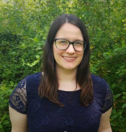
Amanda Payton
Better monitoring through UAS: Capturing Change in the Outer Banks
Project Background
As a Research Specialist at East Carolina University’s Coastal Studies Institute, Amanda will attend the Duke University UAS courses so she can further her career goals and her research. In her career, Amanda strives to use her GIS skills to address environmental issues. The introduction course offered by Duke will provide an overall familiarization to applications of drone technology for environmental assessments that are directly linked to her career interests, further shaping the types of research which can be pursued. Through the drone operations and quantitative analysis courses, Amanda will advance her skills in order to increase her opportunities for coordinating and leading field campaigns and expand the types of research questions that ECU can address.
“I am a research specialist focused on remote sensing of coastal environments. I am excited to add UAS data collection and analysis to my skill set and be able to apply these techniques to monitoring the dynamic landscapes of the Outer Banks.”
Amanda Payton

Alba Guzman-Morales
Unmanned Aircraft Systems for Coastal Ocean Science in Puerto Rico
Project Background
Alba will apply the knowledge gained from these courses towards her master’s degree research at the University of Puerto Rico in Mayagüez. She is examining satellite imagery to assess changes in turbidity in Guánica Bay, in southwestern Puerto Rico; however, the 300-meter spatial resolution of satellite imagery is not sufficient for derived turbidity products near river mouths or inside of bays. Additionally, cloud cover impairs satellite images. The use of high-resolution drone imagery could provide a solution for these issues. Alba will use the drones to measure rain-induced sediment plumes near river mouths using photogrammetry techniques, even in cloudy conditions. Participation in the UAS courses at Duke University will help her acquire the necessary skills to accomplish her research goals.
“I am very excited to be able to attend the Drone courses offered by the Nicholas School of the Environment at Duke University sponsored by SECOORA. As a drone pilot and aspiring oceanographer, I am interested in integrating UAS technologies for expanding our knowledge in the coastal ocean sciences in my homeland, Puerto Rico.”
Alba Guzman-Morales
Rachel Brewton
Monitoring large-scale macroalgal blooms of Caulerpa and Sargassum in coastal Florida with drone imagery
Project Background
The three drone executive education courses from Duke University will advance Harbor Branch Oceanographic Institute’s (HBOI) mission in the east-central and south Florida regions by enabling Rachel to properly integrate drone technology into the water quality and HAB research program.
Capturing drone imagery will enable HBOI to better understand the spatial expanse and potential impacts of large-scale macroalgal blooms on water quality and marine ecology.
“I have over a decade of experience conducting scientific research. Currently, I am a Research Coordinator at Harbor Branch Oceanographic Institute, as well as a part-time Ph.D. student in the Florida Atlantic University Geosciences program during which time I have been exposed to the capabilities and applications of drone technology through coursework and seminars.”
Rachel Brewton
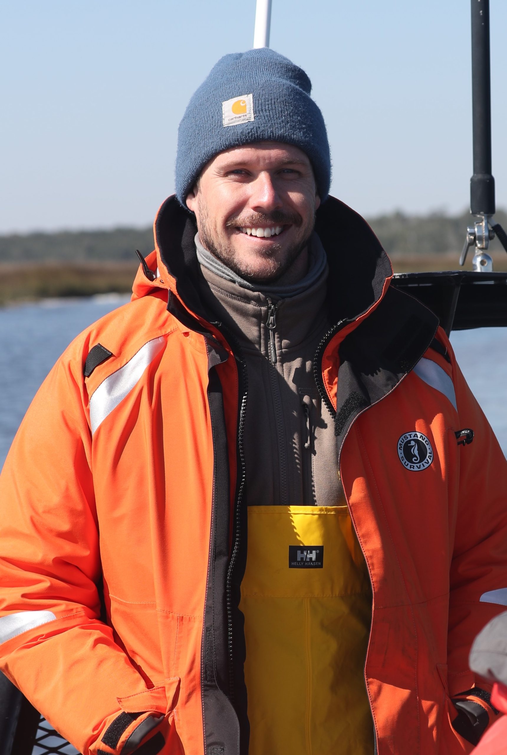
Brian Quigley
Utilizing Uncrewed Aircraft Systems (UAS) to Advance the Study of Marine Mammal Population Health in the Southeast U.S.
Project Background
For nearly 10 years, Brian has worked in the field of marine mammal research, studying the effects of natural and anthropogenic stressors on common bottlenose dolphins (Tursiops truncatus). As a biologist with NMMF’s Conservation Medicine Division, Brian has contributed to the data collection and analysis of studies spanning the southeast U.S., answering critical questions about the health of dolphin populations in South Carolina, Georgia, Florida, and Louisiana. Through completion of the UAS courses, he hopes to better equip his organization to apply drone techniques to their ongoing research and develop novel methods to more effectively study the health of marine mammal populations in the future. With SECOORA’s support in attending these courses, Brian is confident that he can use the knowledge gained to reach this goal.
“After years of conducting boat-based research of small cetaceans, this is a great opportunity to learn how to effectively gather data from a new perspective. I’m excited to learn more about how UAS are used across the broad range of environmental sciences, and I look forward to using the knowledge gained to help advance the study of marine mammals in the southeast U.S.”
Brian Quigley
Vincent Lovko
Proposal for Attending Uncrewed Aircraft Systems (UAS) Applications and Operations in Environmental Science Courses – Mote Marine Laboratory
Project Background
Dr. Lovko is Mote Marine Laboratory’s Phytoplankton Ecology Program Manager and lead investigator for the drone program. His team at Mote has been pursuing the optical detection and monitoring of red tides (Karinia brevis) using hyperspectral imagery collected through drone operations. A primary goal of Mote’s red tide research and monitoring is to provide information that can be used for early warning of bloom conditions, track and map bloom extent, and fuel forecasting efforts to alert the public of potential health impacts from red tide. Dr. Lovko’s participation in the Duke University courses will provide additional information on the application and operation of drones for environmental monitoring and help Dr. Lovko develop a drone-based remote-sensing red tide detection system for Mote.
“As a phytoplankton ecologist at Mote Marine Lab, with a primary focus on Florida red tide, I recognize that there is a critical need for our monitoring capabilities to move well beyond shore- or ship-based discrete sampling towards a broader picture of bloom distribution. To pursue this effort, I have been working to develop a drone-based red tide monitoring system at Mote that will regularly provide information regarding the presence, location, and intensity of red tide events along the West Florida Coast. My participation in the drone course series, offered through Duke University and supported by SECOORA, will greatly enhance this effort by enhancing my knowledge and skills, from drone operations to data collection and processing, to further develop and implement a UAS-based monitoring program for Florida red tide.”
Vincent Lovko
Allix North
Building a foundation for UAS research and resource management at Guana Tolomato Matanzas National Estuarine Research Reserve to assist local, state, and federal partners in understanding coastal ecosystem change.
Project Background
Allix serves as the Stewardship Coordinator at the Guana Tolomato Matanzas National Estuarine Research Reserve (GTMNERR). At GTMNERR her duties include, but are not limited to, conducting drone operations in accordance with all FAA and State regulations and the needs of GTMNERR, organizing and implementing all aspects of the GTMNERR drone program to provide spatially accurate high-quality imagery, and conducting spatial ecology tasks that pertain to change detection of areas of interest.
“This three-course curriculum will provide me with a solid foundation for advancing the UAV program at the GTMNERR and providing guidance in the field of UAS to partners. I plan to use the courses to improve upon my understanding of aeronautics, conduct effective scientific research and resource management, and begin to provide a thorough assessment of habitat changes and ecological relationships within GTMNERR.
I plan to improve upon my skills and knowledge and build a foundation for UAS research and resource management at Guana Tolomato Matanzas National Estuarine Research Reserve to assist local, state, and federal partners in understanding coastal ecosystem change.”
Allix North
Thank you sponsors


Related news

Spotlight: Mobilizing to Save Florida’s Coral Reefs
Learn how scientists are racing to save Florida's Coral Reef through coral rescue, gene banking, reef restoration, and innovative conservation efforts after disease and marine heatwaves devastated one of America's most important marine ecosystems.

From a Whale’s Song to an Ocean’s Symphony: How AI Decodes Underwater Sound
Explore how SECOORA-funded research is using AI and machine learning to decode ocean soundscapes, detect boat noise, and support coral reef restoration efforts.
Rebuilding the Future: USF’s College of Marine Science Recovers from Historic Blaze One Day at a Time
Following a devastating fire at USF’s Marine Science Lab, researchers rally to salvage decades of critical data and maintain vital ocean monitoring.