

SECOORA is delighted to announce the release of the Harmful Algal Bloom Plan 2.0. This updated plan builds upon the successes and lessons learned from its predecessor – taking into account advancements in technology, research, investments, and stakeholder engagement.
The new version overviews the mounting problem of Sargassum mats washing ashore in the Southeast U.S., Gulf of Mexico, and Caribbean islands. The Sargassum Watch System (SaWS), developed by Dr. Chuanmin Hu and his team at the University of South Florida, is a tool to forecast and monitor Sargassum trajectory and location. SECOORA provides funding to Dr. Hu to improve his high-resolution imagery products to allow for local beach monitoring.
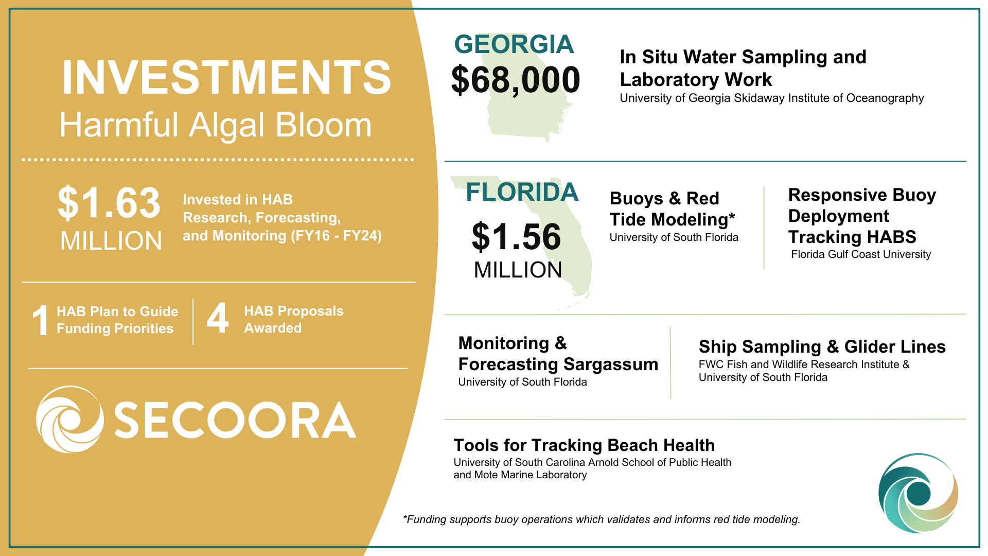
A new graphic highlights our HAB investments by state, incorporating our new projects in Florida and Georgia. SECOORA partners employ a wide range of methods and technologies (buoys, gliders, and ship-based field surveys, as well as satellite remote sensing) to observe and monitor HABs.
The Harmful Algal Bloom Plan 2.0 serves as a strategic guide, outlining a collaborative vision that will guide future investments, foster innovation, and strengthen partnerships to address the challenges posed by HABs in the SECOORA region.
Click here to view a PDF of the plan. The HAB plan is an addendums to the Regional Coastal Ocean Observing System Strategic Operational (RCOOS).
Related news
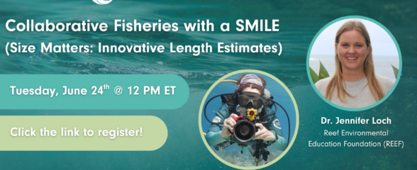
SECOORA Webinar: Collaborative Fisheries with a SMILE (Size Matters: Innovative Length Estimates)
On Tuesday, June 24th at 12 PM ET, Dr. Jennifer Loch from Reef Environmental Education Foundation (REEF) will discuss the SMILE (Size Matters: Innovative Length Estimates) project as part of SECOORA's Coastal Observing in Your Community Webinar Series.
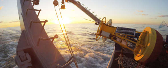
Funding Cuts to NOAA IOOS Will Hurt the Southeast
Proposed federal funding cuts would eliminate the IOOS Regional Observations budget for next year. Contrary to the budget Congress has already approved for this year, the Executive Branch wants these proposed cuts to go into effect in 2025.
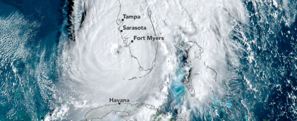
SECOORA Webinar on the Rapid Intensification of Hurricane Ian: Warm Subsurface Water on the Wide Continental Shelf
Join us Thursday, April 24th at 12 PM ET for the April installment of the SECOORA Coastal Observing in Your Community Webinar Series! This month, we will hear from Dr. Yonggang Liu from the University of South Florida. He will discuss his research on the rapid intensification of Hurricane Ian in relation to anomalously warm subsurface water on the wide...