**To learn more about this project, please join us for a webinar on October 26 at noon ET. Click here to reserve your spot.**
Florida Bay, located along the western side of the Florida Keys, contains 10% of the world’s seagrass. Variations in temperature and salinity have led to several mass seagrass die-offs since the 1980s. Fishes that depend on seagrass to survive, such as Spotted Seatrout, are equally vulnerable to temperature fluctuations.
Jonathan Rodemann, a Ph.D. candidate at Florida International University, is focusing his research on habitat use by Spotted Seatrout in Rankin Basin, located in north-central Florida Bay. His objectives are to quantify how seasonal and daily changes in temperature drive fish movement and to determine whether habitat transformation due to seagrass die-off, prey redistribution, and temperature are influencing fish distribution within the basin. This research is made possible through a fisheries research grant from SECOORA and the FACT Network.
While results are still preliminary, Rodemann found that Spotted Seatrout spend more time in an area when the temperature is cooler (below 30°C/86°F), such as at dawn and during the wet season (November – January). Dawn, approximately 6:00 – 7:00 AM, seems an optimum time for food capture for seatrout. This might be due to reduced energy demands due to lower metabolic rates that accompany colder water. Rodemann noted that when temperatures approach the upper extremes in the Dry and Early Wet seasons (average of 30°C/86°F), Spotted Seatrout may have higher metabolic rates and therefore a lower aerobic scope to perform vital activities such as feeding. Higher temperatures create less optimal conditions, impacting seatrout movement, space use, and survival. Until now, scientists have lacked the infrastructure to study the relationship between temperature and fish movement within Florida Bay.


From left to right: Jonathan Rodemann, Florida International University, holds a Spotted Seatrout that was tagged and released in Florida Bay (left), Rodemann inserts an acoustic tag into a Spotted Seatrout (top-center), Rodemann deploying an acoustic receiver in Florida Bay (bottom-center), and map of Florida Bay outlined in black and Rankin Basin in red (right). Image credit: Jonathan Rodemann
New Research Infrastructure in Florida Bay
Temperature loggers and acoustic telemetry data are used by Rodemann to evaluate seatrout response to temperature change and habitat disturbance in Rankin Basin.
Sixteen temperature loggers that record hourly water temperature were placed in Rankin Basin along with an array of 29 Innovasea acoustic receivers, which record tagged fish movement. Rodemann and his team are tracking 75 fish tagged with Innovasea ultrasonic pingers. When a fish tagged with an acoustic implant swims near an acoustic receiver, the location of the fish’s movement is recorded. By using both location tracking and temperature loggers, Rodemann’s team seeks a better understanding of not just where Spotted Sea Trout reside, but when and why.
For more information on acoustic telemetry visit The FACT Network.
Future Research
Mr. Rodemann will further this research by mapping seagrass throughout Rankin Basin and modeling seagrass fragmentation and habitat loss under different temperature conditions and the associated impacts to Spotted Seatrout. Mr. Rodemann’s research and similar research projects are crucial to understanding the impacts of climate change on fish in order to develop effective management and conservation strategies.
Donors Contribute to Florida Bay Research
“I am really fortunate to be working on this project. Human impact on the seagrass and fish of Florida Bay is a recurring theme, and helping figure out how to fix these problems is an honor.”
Jonathan Rodemann
The funding for this award is provided through the generosity of SECOORA donors, The Curtis and Edith Munson Foundation, Ocean Tracking Network, Innovasea, the SECOORA Education and Outreach Committee, and many individual donors.
Related news

SECOORA Webinar: Collaborative Fisheries with a SMILE (Size Matters: Innovative Length Estimates)
On Tuesday, June 24th at 12 PM ET, Dr. Jennifer Loch from Reef Environmental Education Foundation (REEF) will discuss the SMILE (Size Matters: Innovative Length Estimates) project as part of SECOORA's Coastal Observing in Your Community Webinar Series.

Funding Cuts to NOAA IOOS Will Hurt the Southeast
Proposed federal funding cuts would eliminate the IOOS Regional Observations budget for next year. Contrary to the budget Congress has already approved for this year, the Executive Branch wants these proposed cuts to go into effect in 2025.

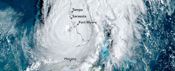
SECOORA Webinar on the Rapid Intensification of Hurricane Ian: Warm Subsurface Water on the Wide Continental Shelf
Join us Thursday, April 24th at 12 PM ET for the April installment of the SECOORA Coastal Observing in Your Community Webinar Series! This month, we will hear from Dr. Yonggang Liu from the University of South Florida. He will discuss his research on the rapid intensification of Hurricane Ian in relation to anomalously warm subsurface water on the wide...