

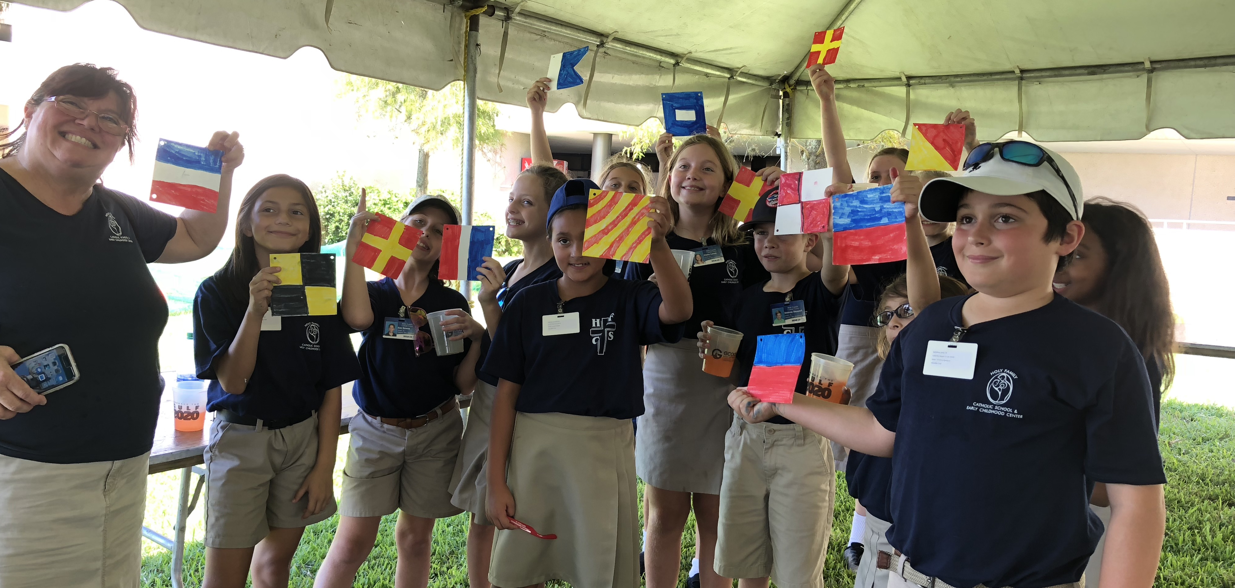
Students attending St. Petersburg Science Festival student day (October 19, 2018), showing off their classroom banners using the International Code of Signals.
SECOORA and Gulf of Mexico Coastal Ocean Observing System (GCOOS) partnered to teach the community about navigation, ports, and ocean observing at the St. Petersburg Science Festival, a two day event that took place October 19-20, 2018, in St. Petersburg, FL.
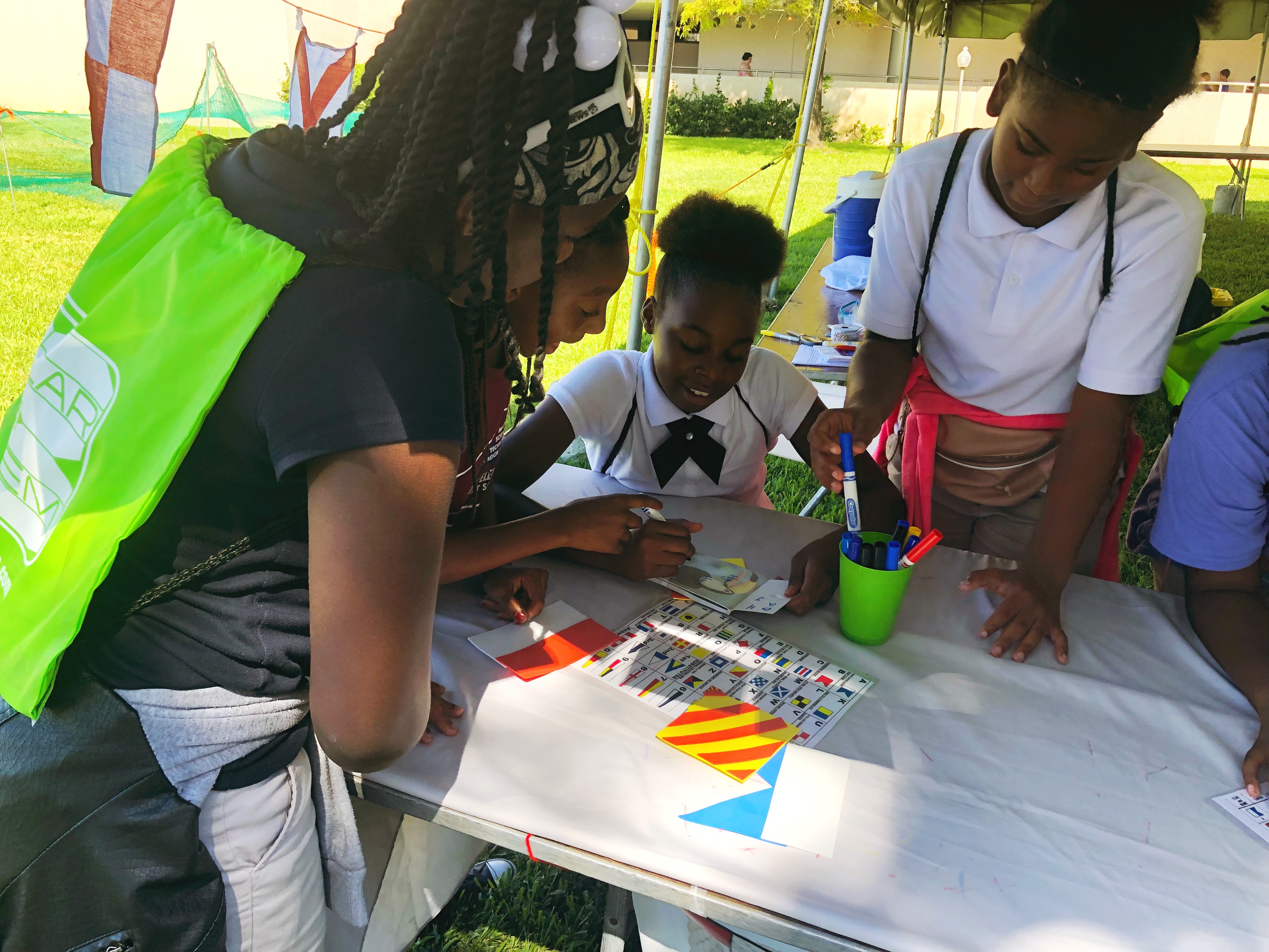
Students working hard to decode the International Code of Signals scrambled word at the St. Petersburg Science Festival (October 19, 2018).
Over the two days, visitors learned about the International Code of Signals (ICS) and about the information U.S. IOOS Regional Associations are providing to support navigation and maritime operations. Students made classroom banners using the ICS flagging system and Saturday’s visitors made coded bracelets. They also learned about buoys and how to bring real-time ocean and coastal data to the classroom and household.
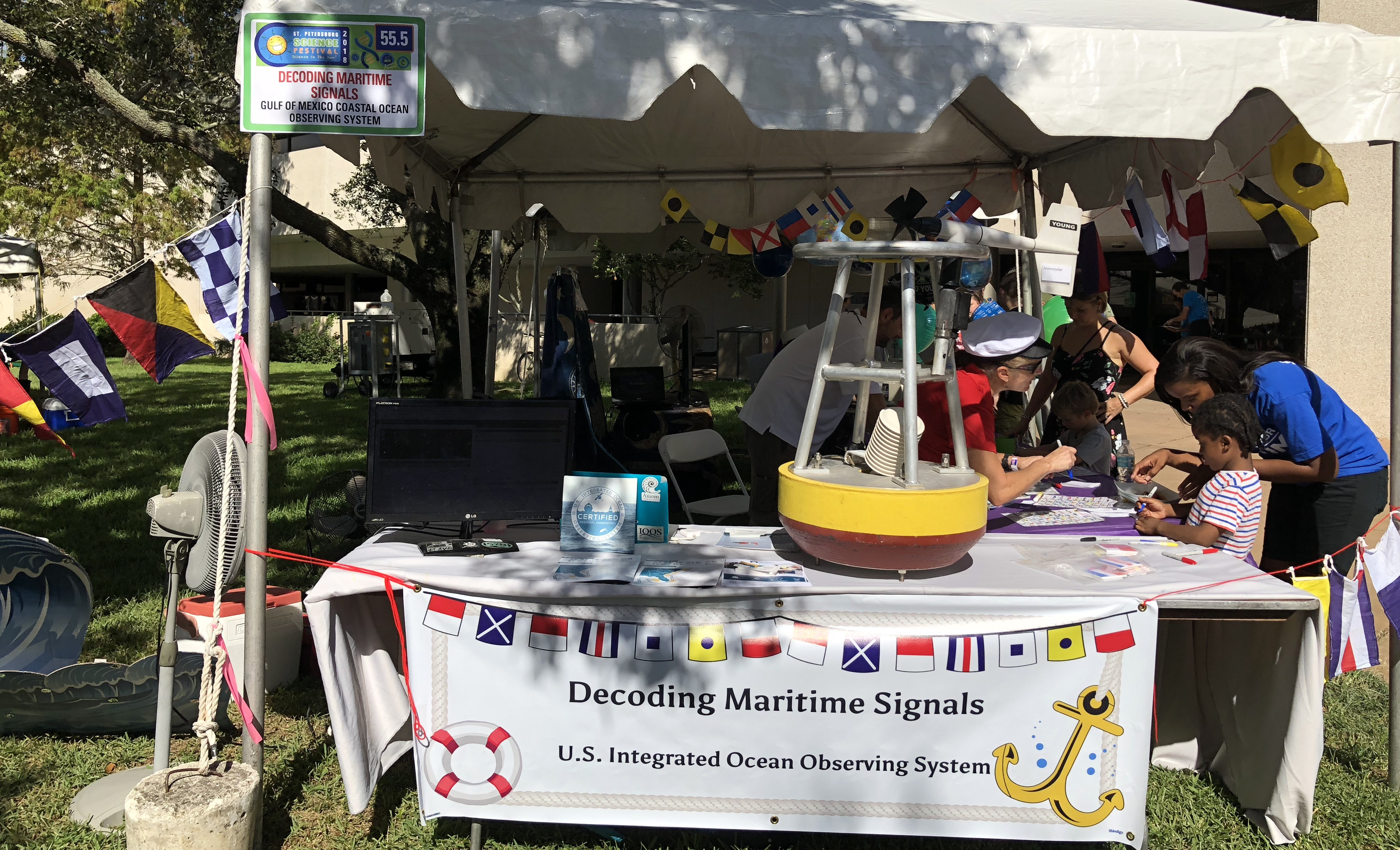
The booth set up at St. Petersburg Science Festival for the public day (October 20, 2018).
Since 2011, the St. Petersburg Science Festival has inspired children to get excited about Science, Technology, Engineering, and Mathematics. Last year, it is estimated the two-day event attracted over 20,000 visitors.
Related news
Claire McGrath Joins SECOORA as Program and Development Manager
SECOORA welcomes Claire McGrath as Program and Development Manager, supporting the Southeast & Caribbean Coastal Disaster Resilience Partnership and membership growth.

Spotlight: Mobilizing to Save Florida’s Coral Reefs
Learn how scientists are racing to save Florida's Coral Reef through coral rescue, gene banking, reef restoration, and innovative conservation efforts after disease and marine heatwaves devastated one of America's most important marine ecosystems.
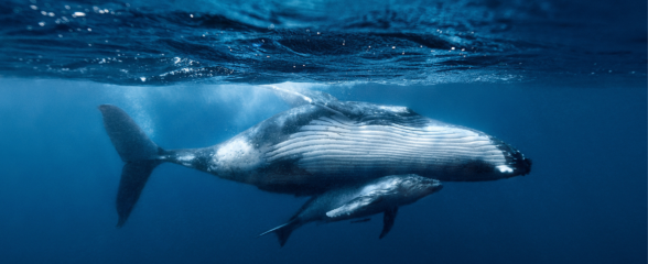
From a Whale’s Song to an Ocean’s Symphony: How AI Decodes Underwater Sound
Explore how SECOORA-funded research is using AI and machine learning to decode ocean soundscapes, detect boat noise, and support coral reef restoration efforts.