At the December 2020 SECOORA Board of Directors meeting, the Board finalized the process SECOORA will use to develop the next 5-year NOAA Integrated Ocean Observing System (IOOS) proposal. The proposal will cover the period 2021-2026 and the anticipated due date is October 2020. Details on the schedule, Letter of Intent (LOI) process, and LOI review criteria is available here.
SECOORA IOOS Proposal Development Process
The 2020 SECOORA IOOS proposal development process will include a two-part LOI review: Subject Matter Expert reviews and a Comprehensive Review Panel.
Subject Matter Experts will conduct the initial review and scoring of SECOORA LOIs in June 2020.
The Comprehensive Review Panel will be composed of 5 non-conflicted experts (same process as last IOOS proposal development). They will receive all of the LOIs and Subject Matter Expert reviews and will ultimately determine which LOIs are part of the SECOORA IOOS proposal.
Requesting Nominations: Comprehensive Review Panel
SECOORA is requesting nominations for the Comprehensive Review Panel. Please submit nominations of qualified individuals to Jennifer Dorton (jdorton@secooraorgpact.wpengine.com), by 5PM EDT on Tuesday, March 31, 2020. Qualified individuals should be familiar with SECOORA and IOOS activities. Additionally, nominees should have knowledge of coastal and ocean processes and/or ecosystems, ocean and coastal monitoring/observing, modeling and analysis of related data and information, or stakeholder needs for such data and information.
A brief description of the nominee’s expertise should be included in the email. A curriculum vitae or resume may also be attached. Nominees should not be anyone planning to be included as a funded partner in the SECOORA proposal.
Letters of Intent
All those interested in partnering with SECOORA in the 2020 IOOS proposal are strongly encouraged to begin planning their response to our upcoming solicitation for LOIs, which we anticipate will be released in March 2020. Click here to learn more.
Related news

Measuring Surface Currents on the East Coast of Florida with High Frequency Radars
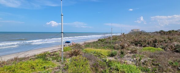
The Florida Institute of Technology and UGA Skidaway Institute of Oceanography recently installed four high frequency radars on the east coast of Florida. These systems measure the speed and direction of ocean currents, which is helpful for search & rescue operations and tracking marine debris.

The 2024 SECOORA Annual Meeting: A Huge Success!
The SECOORA Annual Meeting was held in Charleston, South Carolina May 7th - 8th. Thank you to those who attended, we hope to see you again next year!

SECOORA Partners with North Carolina Communities to Install New Water Level Sensors
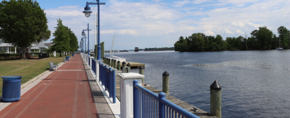
SECOORA has partnered with North Carolina Public Safety, Beaufort County Emergency Services, and the town of Belhaven to install new water level stations in two flood-prone North Carolina communities.