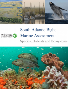
 The Nature’s Conservancy South Atlantic Bight Marine Assessment (SABMA) has been published online. The assessment is a data collection and analysis initiative designed to improve understanding of the regional distribution of key habitats and species. More information is available on the Nature Conservancy website.
Why the Assessment?
The SABMA is a mechanism to empower stakeholders to develop strategies for long-term sustainability of the South Atlantic Bight’s ecological services – from the fisheries that feed human populations to the reefs and barrier islands that absorb wave action and storm surges as sea level rises.
See story map of putting the SABMA into action.
What is it?
The SABMA is an online document and mapping product that provides regional baseline spatial data on the distribution and status of seafloor habitats, coastal systems, marine mammals and sea turtles.
The SABMA breaks down ocean resources into:
- Coastal Ecosystems: Chapter 2 / Data Description / Download Data
- Seafloor Habitat: Chapter 3 / Data Description / Download Data
- Marine Mammals and Sea Turtles: Chapter 4 / Data Description / Download Data
- Important Places (Portfolio): Chapter 5 / Download Data
View the story map for short synapsis on each section.
Learn More
The full report, data and associated materials are available through the Nature Conservancy website.
Funding
This project was supported by grants from the U.S. Department of Interior, Fish and Wildlife Service and the National Oceanic and Atmospheric Administration through the Southeast Coastal Ocean Observing Regional Association.
Related news

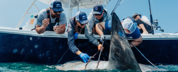
Reimagining the Deep: BioTrack and the Whitespotted Eagle Rays of Florida’s Indian River Lagoon
Join FAU researchers as they track endangered whitespotted eagle rays in Florida’s Indian River Lagoon using advanced BioTrack acoustic and video tags.
Reimagining the Deep: BioTrack’s Quest to Map Marine Biodiversity Hotspots
Discover how the BioTrack initiative uses advanced satellite and acoustic animal tracking to map marine biodiversity hotspots and protect endangered wildlife.
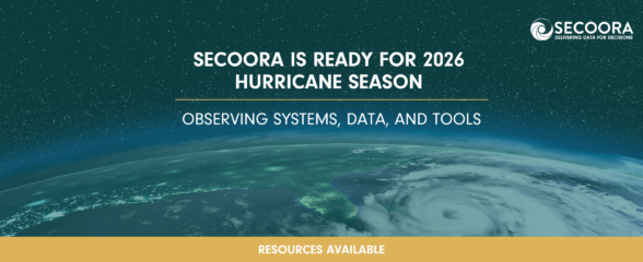
SECOORA Is Ready for the 2026 Hurricane Season
Hurricane season is here and SECOORA’s resources are available to help you stay informed. From real-time buoy data and live webcam feeds to ocean gliders and storm surge models, our network of observing systems is ready to support forecasters, emergency managers, researchers, and coastal communities throughout the Southeast.