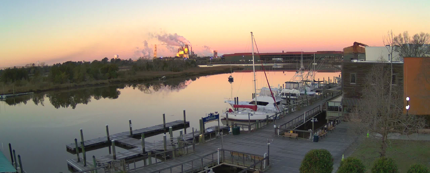
Over six partners have joined forces to install a web camera, water level sensor, and an air quality monitor at the South Carolina Maritime Museum located on the banks of the Sampit River in Georgetown, SC. Overlooking the North Inlet-Winyah Bay estuary, the data are being used to monitor river and boardwalk usage, document flood activities, capture air quality information, and increase environmental knowledge in support of improved decision making.
Each team plays a unique role in educating, monitoring, and analyzing the data collected. Below are the project partners:
- South Carolina Maritime Museum (SCMM)
- North Inlet-Winyah Bay National Estuarine Research Reserve (NI-WB NERR)
- American Shore & Beach Preservation Association (ASBPA)
- Center of Excellence for Oceans and Human Health and Climate Change Interactions (OHHC2I) at the University of South Carolina (USC)
- Southeast Coastal Ocean Observing Regional Association (SECOORA)
- Webcams for Coastal Observations and Operational Support (WebCOOS)
Cross-project collaboration is incredibly impactful. Projects are stronger when partners join forces to work towards the same goal. They share resources and bring unique perspectives to solve problems.
Collaborating to Increase Knowledge
Estuaries are extremely important biologically rich habitats and provide a buffer zone for coastal communities from storm impacts. It is important to educate the public on the important role estuaries play in our environment.
In 2019, Dr. Erik Smith, Manager of NI-WB NERR and Research Associate Professor at Belle W. Baruch Institute for Marine & Coastal Sciences USC, spearheaded a partnership with the SC Maritime Museum to educate the public on estuaries and NI-WB NERR. They developed a new exhibit that displays real-time water quality data from North Inlet and Winyah Bay.
This effort kick started the expanded partnership to collect more estuarine data and use the information to raise awareness of estuaries importance.
Increasing Data Collection in Georgetown, SC
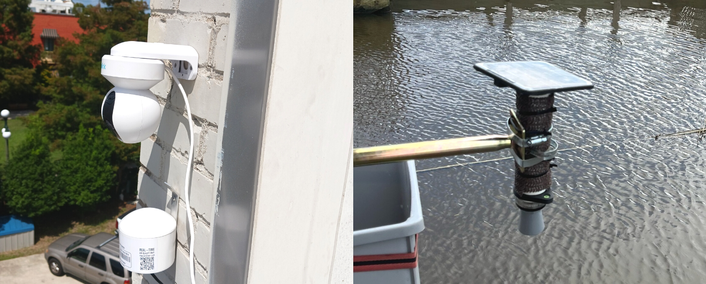
With this new partnership established, the SC Maritime Museum was looking for ways to increase data collection. In fall 2022, SC Maritime Museum teamed with ASBPA, SECOORA, OHHC2I, USC, and WebCOOS to install a web camera, a water level sensor, and an air quality monitor.
The air quality monitor measures airborne particulate matter (PM). PM are the solid particles suspended in air; this includes dust, smoke, and other organic and inorganic particles. The sensor uses a fan to suck in sample air and uses a laser particle counter to count the number of particles by size. The water level sensor uses a laser to measure water level height in feet. The web camera continuously captures live footage.
The project’s live feeds, graphs, data, and reports are available to the public.
Monitoring Hurricane Ian with the New Technology
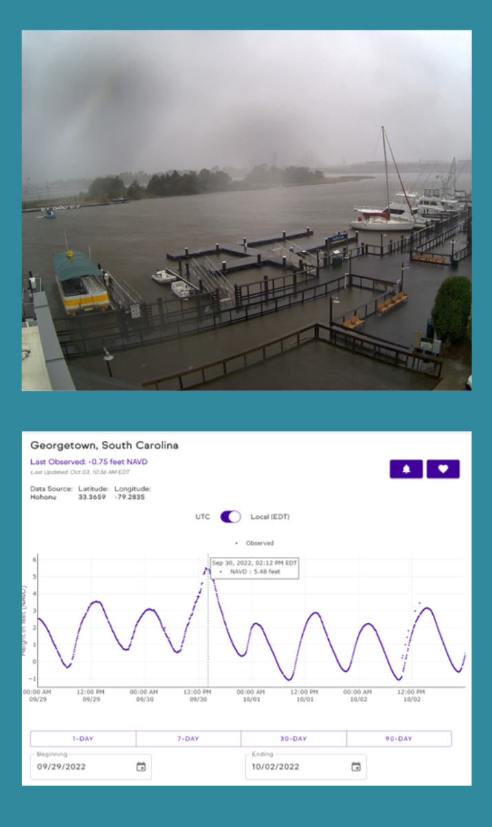
Soon after the new sensors were installed, Hurricane Ian impacted Georgetown, SC. The sensors collected data throughout the powerful storm. For the duration of Hurricane Ian, SC Maritime Museum was able to visualize water levels around the museum using the WebCOOS camera.
“…Luckily the SC Maritime Museum escaped having water in the building, but it was a close thing. We were fortunate to have the camera and tide level sensor as we were able to monitor the situation, as best we could, remotely during Hurricane Ian.“ – Justin McIntyre, Curator at the SC Maritime Museum
The information allowed the SC Maritime Museum staff to assess potential damage and determine if it was safe to return to operations .
This project is just one of many ways SECOORA and its partners are working with communities to educate, monitor, alert, and collect data on environmental events. Click here to read and learn about other community observing projects.
Related news
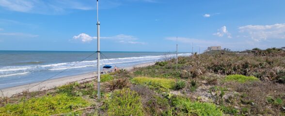
Measuring Surface Currents on the East Coast of Florida with High Frequency Radars
The Florida Institute of Technology and UGA Skidaway Institute of Oceanography recently installed four high frequency radars on the east coast of Florida. These systems measure the speed and direction of ocean currents, which is helpful for search & rescue operations and tracking marine debris.
The 2024 SECOORA Annual Meeting: A Huge Success!
The SECOORA Annual Meeting was held in Charleston, South Carolina May 7th - 8th. Thank you to those who attended, we hope to see you again next year!
SECOORA Partners with North Carolina Communities to Install New Water Level Sensors
SECOORA has partnered with North Carolina Public Safety, Beaufort County Emergency Services, and the town of Belhaven to install new water level stations in two flood-prone North Carolina communities.