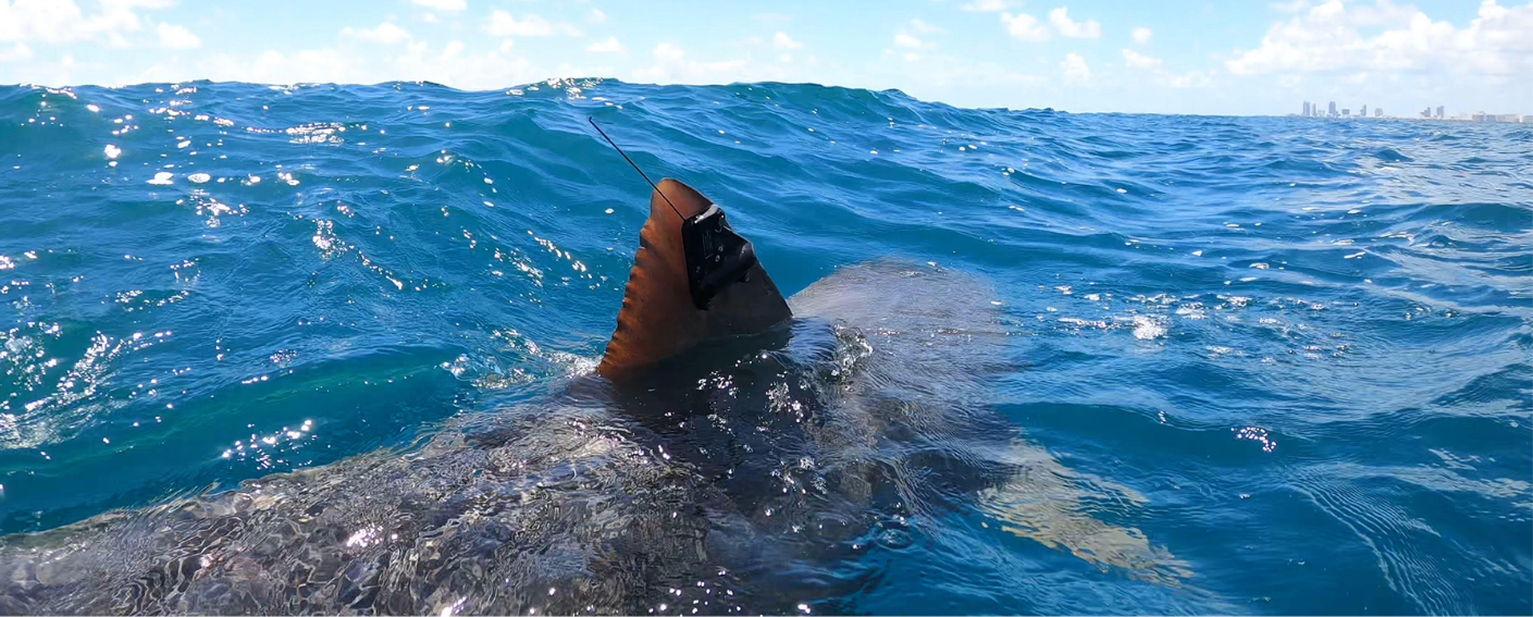
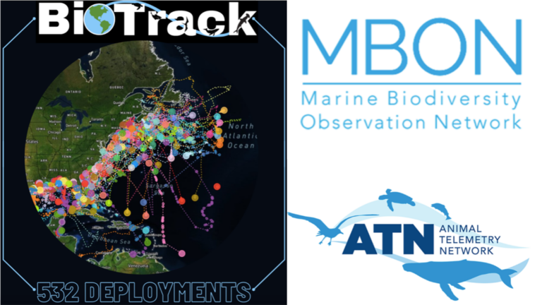
The Marine Biodiversity Observation Network (MBON) and the Animal Telemetry Network (ATN) of the Integrated Ocean Observing System (IOOS) have joined forces to create the BioTrack Initiative. This collaborative network assesses and monitors biodiversity hotspots by integrating satellite and acoustic tracking data from marine animals, including fish, sharks, turtles, crabs, seabirds, and marine mammals.
By identifying and monitoring biodiversity hotspots, the BioTrack Initiative is informing management decisions and encouraging collaboration among scientists.
Informing Management Decisions with BioTrack
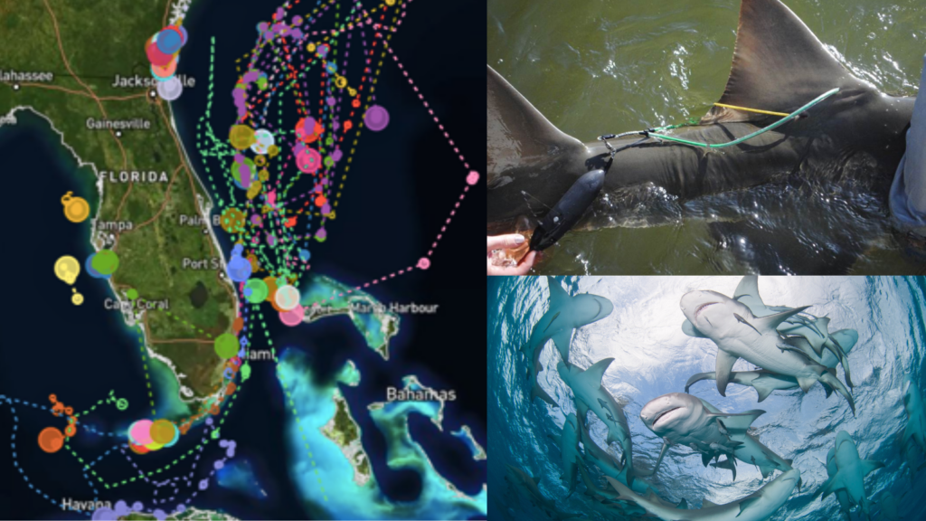
By combining tracking data from various animal tagging projects, researchers and managers can discover areas where a high density of marine species are located. These “hotspot” congregation areas can help managers and decision-makers assess marine resource impacts when selecting sites for ocean uses. Additionally, scientists can study the area to identify environmental conditions that may attract these animals to that hotspot.
“Networking the Networks” with the BioTrack Initiative
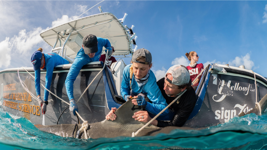 BioTrack compiles satellite tracking information from research projects, such as the shark tagging project pictured above, to provide a method for locating and monitoring biodiversity hotspots. Image source: University of Miami Shark Research and Conservation Lab (Instagram: @sharktagging)
Led by Dr. Neil Hammerschlag, MBON investigator and owner of Atlantic Shark Expeditions, BioTrack allows for comparison of movements and patterns of multiple species over different regions. The current effort focuses on the regions of the Western North Atlantic (including the Southeast United States), the Gulf of Mexico, and the Caribbean Sea. There are hopes of expanding the network to other regions.

With the BioTrack initiative, we are able to ‘network the networks’ to create the opportunity for large-scale data acquisition and archiving that connects regions and coastlines.
Neil Hammerschlag, Atlantic Shark Expeditions
Regional, national and international data-sharing networks, including FACT, ACT, iTAG, ATN, and OTN allow for collaboration among animal tracking projects; however, the BioTrack Initiative goes the extra mile allowing scientists to share data with other regional networks.
Improving BioTrack with Acoustic Tracking Data
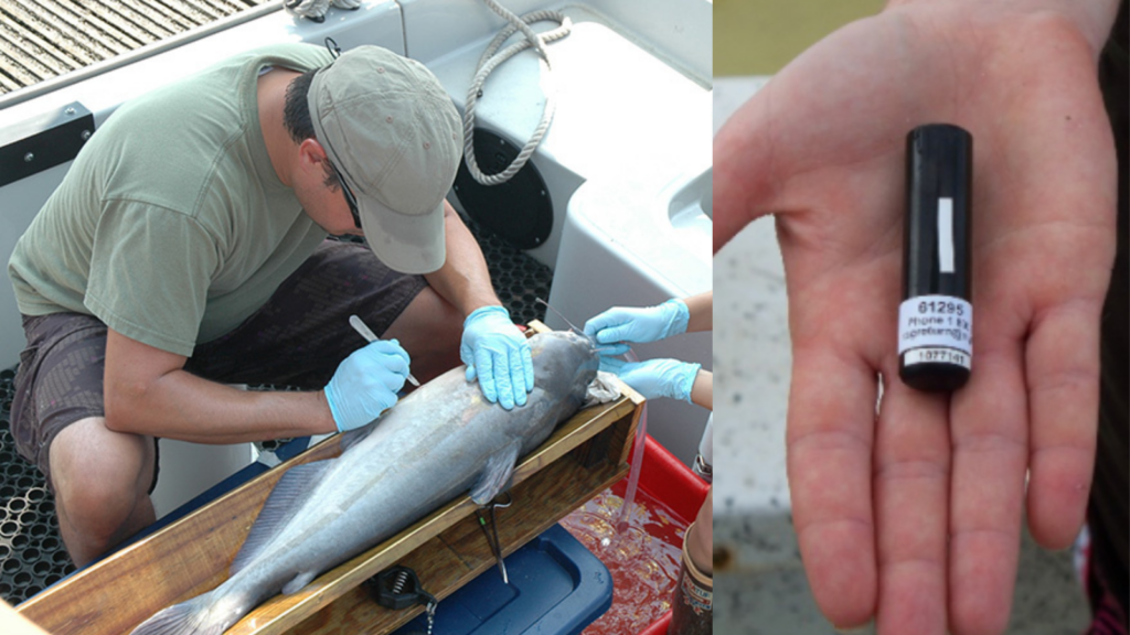 With the inclusion of acoustic tracking projects, a wider variety of information can be collected due to the smaller size of the acoustic tracking devices (pictured right). (Left Image Credit: NOAA Fisheries, Right Image Credit: FACT Network.)
Initially starting with satellite tag data, the BioTrack Initiative has expanded to also include acoustic tracking data. Acoustic tags can be used to track smaller animals, such as crustaceans and smaller fish species. They can also be used on animals that do not swim to the surface often, which is a requirement of satellite tags. Learn more about acoustic tagging here. Data are currently being developed into several collaborative scientific papers, led by PhD student Chelsea Black and Post Doc Thiago Couto who are leading up analysis on satellite and acoustic tracking projects, respectively.
Join the BioTrack Initiative
Are you working on a project involving satellite tagging or acoustic tagging of marine animals and interested in being part of this collaborative effort? Some benefits of collaborating with BioTrack include:
- Assistance with data management
- Archiving of data
- Fulfilling broader impact outreach (data summary visualization and infographics will be accessible to the public from the MBON website)
- Co-authorship in publications
- Application of data as a management tool
- Building collaborative networks and supporting graduate student research
If you are interested in joining, please contact Neil Hammerschlag (neilhammerschlag@gmail.com). The BioTrack data will be made available in an interactive portal via MBON and the ATN in the near future. MBON) and the Animal Telemetry Network (ATN).
Related news
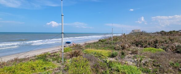
Measuring Surface Currents on the East Coast of Florida with High Frequency Radars
The Florida Institute of Technology and UGA Skidaway Institute of Oceanography recently installed four high frequency radars on the east coast of Florida. These systems measure the speed and direction of ocean currents, which is helpful for search & rescue operations and tracking marine debris.

The 2024 SECOORA Annual Meeting: A Huge Success!
The SECOORA Annual Meeting was held in Charleston, South Carolina May 7th - 8th. Thank you to those who attended, we hope to see you again next year!
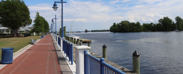
SECOORA Partners with North Carolina Communities to Install New Water Level Sensors
SECOORA has partnered with North Carolina Public Safety, Beaufort County Emergency Services, and the town of Belhaven to install new water level stations in two flood-prone North Carolina communities.
