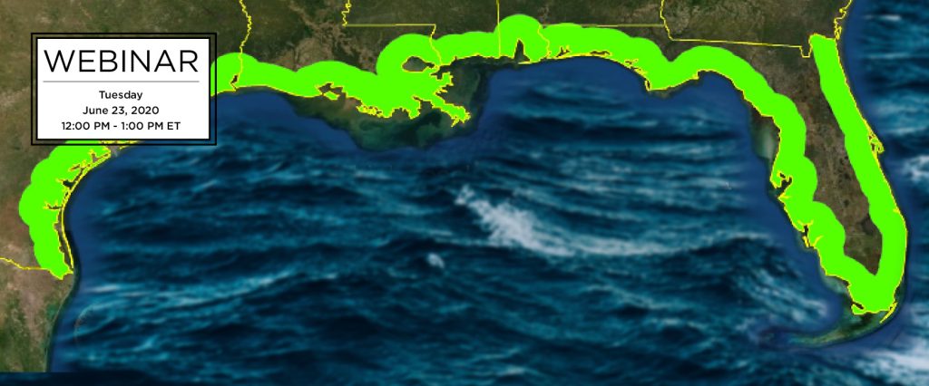
Join SECOORA on June 23 at Noon ET for a webinar led by Dr. Matt McCarthy from Oak Ridge National Laboratory. Dr. McCarthy will present on a fully automated method used to develop 3-D high-resolution land cover maps for the entire U.S. Gulf of Mexico coastline. Multiple products, including wetland maps and bathymetry, are output from this process and mosaicked for end-user applications.
Date: Tuesday, June 23, 2020
Time: 12:00 – 1:00 PM ET
Click here to reserve your spot!
Download the flyer and please share.
Abstract
Very high-resolution (i.e. < 5-meter pixel) satellite imagery has proven effective to map upland, wetland, and benthic ecosystems, but challenges in data acquisition and storage, algorithm training, and image processing have prevented efficient, large-scale and time-series mapping of these data until recently. Here I will describe the Spectral and Object-based Automated Land-cover Classification of High-resolution Imagery protocol that we developed and applied to 20,000 WorldView images run on supercomputers to map land cover across the entire US Gulf of Mexico coastline. The method is fully automated and completed the mapping 200 times faster than existing methods. Multiple products, including wetland maps and bathymetry, are output and mosaicked for end-user applications.
About the Presenter
Dr. Matt McCarthy is a Research Scientist at Oak Ridge National Laboratory, home of the world’s fastest supercomputer, and earned his PhD working in remote sensing of coastal environments at the University of South Florida. He grew up in Gainesville, Florida fishing and boating on both Atlantic and Gulf coasts, and now conducts research using advanced satellite image data to map and monitor those coasts for changes caused by a variety of drivers.
Related news
Funding Cuts to NOAA IOOS Will Hurt the Southeast
Proposed federal funding cuts would eliminate the IOOS Regional Observations budget for next year. Contrary to the budget Congress has already approved for this year, the Executive Branch wants these proposed cuts to go into effect in 2025.
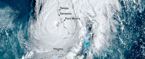
SECOORA Webinar on the Rapid Intensification of Hurricane Ian: Warm Subsurface Water on the Wide Continental Shelf
Join us Thursday, April 24th at 12 PM ET for the April installment of the SECOORA Coastal Observing in Your Community Webinar Series! This month, we will hear from Dr. Yonggang Liu from the University of South Florida. He will discuss his research on the rapid intensification of Hurricane Ian in relation to anomalously warm subsurface water on the wide...
Webinar: SECOORA Data Portal Demo
Join us on Thursday, February 20, 2025 at 1:00 PM ET to learn more about the SECOORA Data Portal and how to navigate it. Axiom Data Science will be providing an overview of the portal, including how to search the Catalog and make a custom data view.