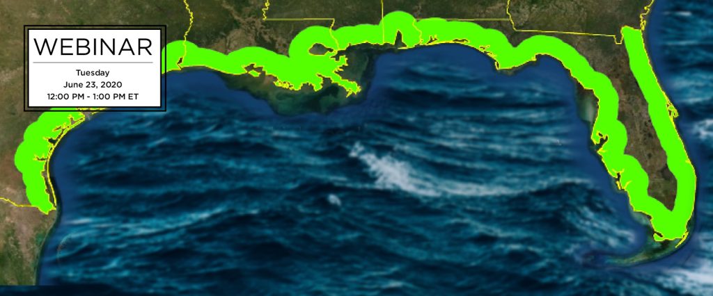
Join SECOORA on June 23 at Noon ET for a webinar led by Dr. Matt McCarthy from Oak Ridge National Laboratory. Dr. McCarthy will present on a fully automated method used to develop 3-D high-resolution land cover maps for the entire U.S. Gulf of Mexico coastline. Multiple products, including wetland maps and bathymetry, are output from this process and mosaicked for end-user applications.
Date: Tuesday, June 23, 2020
Time: 12:00 – 1:00 PM ET
Click here to reserve your spot!
Download the flyer and please share.
Abstract
Very high-resolution (i.e. < 5-meter pixel) satellite imagery has proven effective to map upland, wetland, and benthic ecosystems, but challenges in data acquisition and storage, algorithm training, and image processing have prevented efficient, large-scale and time-series mapping of these data until recently. Here I will describe the Spectral and Object-based Automated Land-cover Classification of High-resolution Imagery protocol that we developed and applied to 20,000 WorldView images run on supercomputers to map land cover across the entire US Gulf of Mexico coastline. The method is fully automated and completed the mapping 200 times faster than existing methods. Multiple products, including wetland maps and bathymetry, are output and mosaicked for end-user applications.
About the Presenter
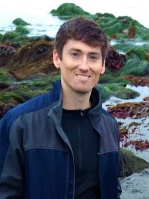
Dr. Matt McCarthy is a Research Scientist at Oak Ridge National Laboratory, home of the world’s fastest supercomputer, and earned his PhD working in remote sensing of coastal environments at the University of South Florida. He grew up in Gainesville, Florida fishing and boating on both Atlantic and Gulf coasts, and now conducts research using advanced satellite image data to map and monitor those coasts for changes caused by a variety of drivers.
Related news

From a Whale’s Song to an Ocean’s Symphony: How AI Decodes Underwater Sound
Explore how SECOORA-funded research is using AI and machine learning to decode ocean soundscapes, detect boat noise, and support coral reef restoration efforts.
Rebuilding the Future: USF’s College of Marine Science Recovers from Historic Blaze One Day at a Time
Following a devastating fire at USF’s Marine Science Lab, researchers rally to salvage decades of critical data and maintain vital ocean monitoring.

Reimagining the Deep: BioTrack and the Whitespotted Eagle Rays of Florida’s Indian River Lagoon
Join FAU researchers as they track endangered whitespotted eagle rays in Florida’s Indian River Lagoon using advanced BioTrack acoustic and video tags.