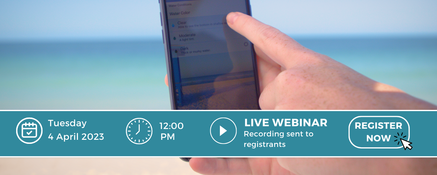
Join SECOORA to learn about the Mote Marine Laboratory’s Beach Conditions Reporting System presented by Aspen Cook (Mote Marine Laboratory) on April 4 at noon ET. The tool encourages the public to participate in community science and provides condition reports for beaches and coastal recreation areas.
Abstract
Mote Marine Laboratory’s Beach Conditions Reporting System (BCRS) is an online public information and engagement tool that utilizes trained volunteers for regular conditions reporting at 60 coastal locations across three states and encourages the public to participate in community science. BCRS reports aid the public in making informed decisions by providing information on current surf conditions, crowds, debris, drift algae, jellyfish, and certain effects that are commonly associated with the occurrence of harmful algal blooms such as Florida red tide.
In addition to protecting public health and enhancing the experiences of beachgoers and water enthusiasts, the BCRS serves as an educational tool with FAQs, infographics, educational videos, and additional information and data resources available on the website and mobile app. The data collected through the BCRS also aids in scientific research, environmental monitoring, and resource management.
About the Presenter
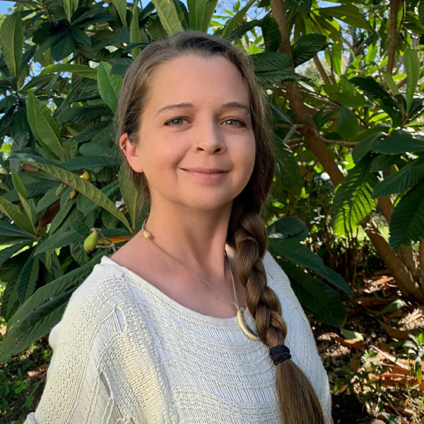
Aspen Cook is a Senior Environmental Specialist for the Environmental Health Research Program at Mote Marine Laboratory in Sarasota, Florida. She earned her Bachelor of Science in Environmental Science from the University of Phoenix in 2020 with a minor in Psychology, and now leads community outreach and citizen science projects to protect public health by educating and engaging the public in environmental conservation and scientific research.
Related news
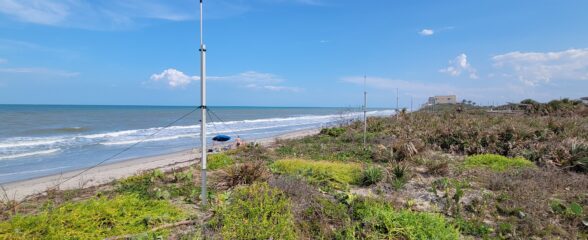
Measuring Surface Currents on the East Coast of Florida with High Frequency Radars
The Florida Institute of Technology and UGA Skidaway Institute of Oceanography recently installed four high frequency radars on the east coast of Florida. These systems measure the speed and direction of ocean currents, which is helpful for search & rescue operations and tracking marine debris.
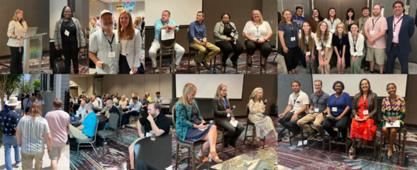
The 2024 SECOORA Annual Meeting: A Huge Success!
The SECOORA Annual Meeting was held in Charleston, South Carolina May 7th - 8th. Thank you to those who attended, we hope to see you again next year!
SECOORA Partners with North Carolina Communities to Install New Water Level Sensors
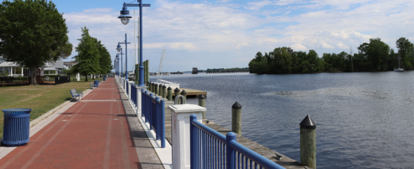
SECOORA has partnered with North Carolina Public Safety, Beaufort County Emergency Services, and the town of Belhaven to install new water level stations in two flood-prone North Carolina communities.
