Join us for a webinar on Wednesday September 6, 12 PM ET. Dr. Rouying, North Carolina State University, will report on efforts in evaluating the performance of the coupled modeling system.
Reserve your spot now! Download Flyer
Webinar Information
Title: Predicting Marine Physical-Biogeochemical Variability in the Gulf of Mexico and Southeastern U.S. Shelf Seas
Date: Wednesday – September 6, 2017
Time: 12 – 1 PM ET
Presenter: Dr. Ruoying He, Distinguished Professor of North Carolina State University
An integrated marine environment prediction system is developed and used to investigate marine physical-biogeochemical variability in the Gulf of Mexico and southeastern U.S. shelf seas. Such variability stem from variations in the shelf circulation, boundary current dynamics, impacts of severe weather forcing, as well as growing population and associated land use practices on transport of carbon and nutrients within terrestrial systems and their delivery to the coastal ocean. We will report our efforts in evaluating the performance of the coupled modeling system via extensive model and data comparisons, as well as findings from a suite of case studies.
About the Presenter
 Dr. He is a Distinguished Professor of North Carolina State University and an Adjunct Scientist of Woods Hole Oceanographic Institution. His research expertise spans from coastal circulation dynamics, air-sea interaction, to biophysical interactions. As the director of the Ocean Observing and Modeling Group (OOMG), he conducts coastal ocean observations, remote sensing data analyses, and also leads the development of prediction models of ocean circulation, air-sea-wave interactions, physical-biogeochemical couplings, as well as data assimilation.
Related news

Measuring Surface Currents on the East Coast of Florida with High Frequency Radars
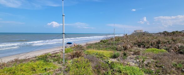
The Florida Institute of Technology and UGA Skidaway Institute of Oceanography recently installed four high frequency radars on the east coast of Florida. These systems measure the speed and direction of ocean currents, which is helpful for search & rescue operations and tracking marine debris.

The 2024 SECOORA Annual Meeting: A Huge Success!
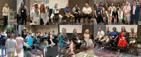
The SECOORA Annual Meeting was held in Charleston, South Carolina May 7th - 8th. Thank you to those who attended, we hope to see you again next year!

SECOORA Partners with North Carolina Communities to Install New Water Level Sensors
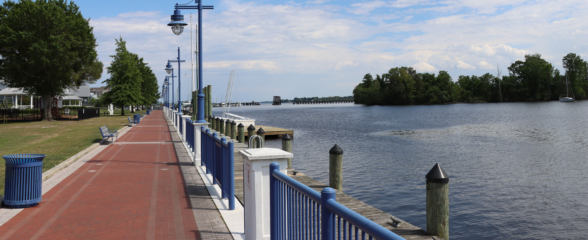
SECOORA has partnered with North Carolina Public Safety, Beaufort County Emergency Services, and the town of Belhaven to install new water level stations in two flood-prone North Carolina communities.
