 Image Credit: Abbey Wakely, SECOORA
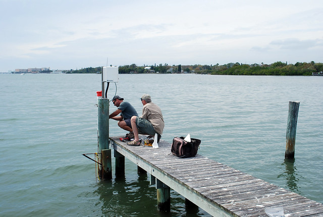
Five years ago, the Ocean Monitoring and Prediction Laboratory at University of South Florida’s (USF) College of Marine Science (CMS) installed an oceanographic and meteorological monitoring station in Clam Bayou, a thriving estuary near Gulfport, Florida. This station became a component of the USF Coastal Ocean Monitoring and Prediction Systems (COMPS).
On March 5th, 2014 USF COMPS Systems Engineer, Jeffrey Scudder, and YSI Senior Applications Specialist, Mike Lizotte, upgraded the water quality instrumentation at the USF COMPS Clam Bayou Station. With the installation of this new sensor, this site will become a part of the already existing USF COMPS coastal stations that are funded by SECOORA. Mark Luther, Director of Ocean Monitoring and Prediction Lab, is the Principal Investigator for the SECOORA funded USF COMPS Coastal Stations project.
The new YSI Xylem EXO2 Multi-Parameter Water Quality Monitoring sonde system measures salinity, dissolved oxygen, pH, water temperature, turbidity, chlorophyll, blue green algae, and fluorescent dissolved organic matter. This water quality data augments the station’s wind, air temperature, relative humidity, precipitation, and barometric pressure measurements.
Over Coming Biofouling
The old water quality measurement system became extremely degraded by biofouling, a major issue in continuous coastal monitoring, and could no longer collect data. Biofouling is the growth of marine organisms, such as barnacles and algae on underwater or intertidal surfaces. It affects the quality of water qualitymeasurements, and if left unchecked, can lead to complete system failure. The newly installed YSI Xylem EXO2 Multi-Parameter Water Quality Monitoring sonde, nicknamed Abby (serial number: 12K101669), has a combination of anti-fouling methods to slow the growth of barnacles and other fouling organisms. Below are the implemented anti-fouling techniques:
Wiper
|
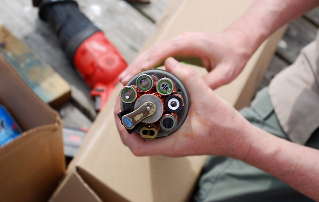 Image Credit: Abbey Wakely, SECOORA
|
|
Biofouling is very common on sensors. The sonde has six water quality sensors that are subject to barnacle and algal growth. The deployed EXO2 sonde system has a rotating wiper to clean the measuring portion of the sensors, and to ensure organisms colonizing on the edges of the probes do not migrate towards the sensing element.
Duct Tape
|
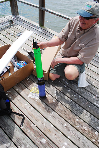 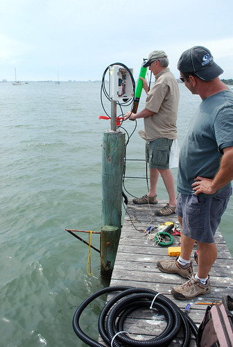 Image Credit: Abbey Wakely, SECOORA
|
|
The sonde is wrapped in a coat of lime green Duct Tape. The Duct Tape is inexpensive and has fouling resistant properties. Additionally, the neon green makes it easily spotted by divers in the unlikelihood a severe storm washes it to sea.
Use of Copper and Copper Alloys
|
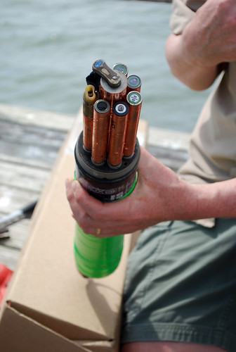 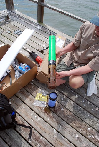 Image Credit: Abbey Wakely, SECOORA
|
|
Copper, a metal with natural anti-microbial properties,is a proven and efficient anti-fouling material. Each of the sondes water quality probes are wrapped in copper tape (applied in a two-step process). A copper alloy shelters the sonde’s probes and prevents biological fouling around the water quality measurement area.
|
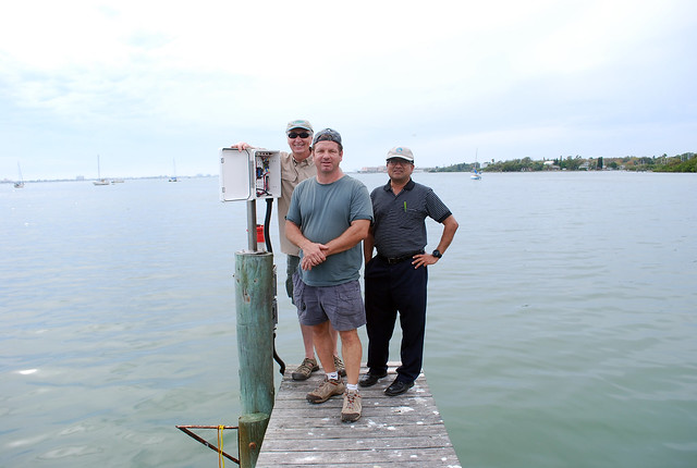 Image Credit: Abbey Wakely, SECOORA
|
|
A Campbell Scientific data logger located adjacent to the station’s meteorological measurement tower polls the YSI Xylem EXO2 sonde for its most recent data at half hour intervals. Water quality measurements from the YSI Xylem sonde and meteorological data are processed into useable data templates by the Clam Bayou Station’s data collection computer, then stored in the logger memory card on site. Data from the station is transmitted at hourly intervals from a GOES satellite to a base station located at USF College of Marine Science, St. Petersburg via and then further processed to be distributed to user communities through USF COMPS and SECOORA data portals.
|
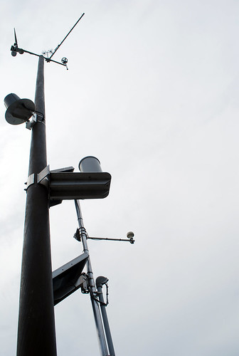 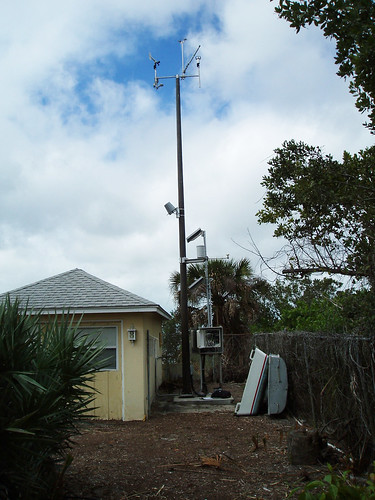 Image Cedit: Abbey Wakely, SECOORA Image Credit: Jeff Scudder, USF CMS
|
|
Check out the real-time data here http://comps.marine.usf.edu/index?view=station&id=CLB
—-
SECOORA would like to thank YSI and USF CMS for their work and support of the USF COMPS Clam Bayou Station.
|
Related news
News
July 10, 2024
Measuring Surface Currents on the East Coast of Florida with High Frequency Radars
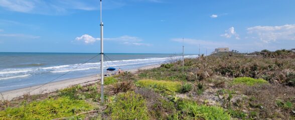
The Florida Institute of Technology and UGA Skidaway Institute of Oceanography recently installed four high frequency radars on the east coast of Florida. These systems measure the speed and direction of ocean currents, which is helpful for search & rescue operations and tracking marine debris.

Events
May 24, 2024
The 2024 SECOORA Annual Meeting: A Huge Success!
The SECOORA Annual Meeting was held in Charleston, South Carolina May 7th - 8th. Thank you to those who attended, we hope to see you again next year!
News
May 13, 2024
SECOORA Partners with North Carolina Communities to Install New Water Level Sensors
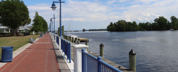
SECOORA has partnered with North Carolina Public Safety, Beaufort County Emergency Services, and the town of Belhaven to install new water level stations in two flood-prone North Carolina communities.