SECOORA is planning to develop a proposal in response to Topic Area 2: “Verification and Validation of observing technologies for studying and monitoring coastal ocean environments” of the FY 2016 US IOOS funding opportunity based on the interest and response from SECOORA members. Details on the Topic Area 2 of the US IOOS FFO can be found at https://secoora.org/wp-content/uploads/sites/default/files/webfm/about/classroom/documents/forming-hurricanes-poster.pdf5. SECOORA will be following its Proposal Development Policies outlined here at https://secoora.org/wp-content/uploads/sites/default/files/webfm/authuser/documents/members/documents/Proposal Development Procedures_Final_8_27_13.pdf
The full proposal needs to be submitted by August 31, 2015. If you are interested in collaborating on a response, please submit a Letter of Intent in relation to the FFO Topic Area 2 following the template below by Wednesday April 15, 2015.
LOI Responses should be sent to Vembu Subramanian (vembu@secooraorgpact.wpengine.com) by 5PM ET, Wednesday April 15, 2015.The responses should not exceed 5 pages, with one-inch margins and 12 point text in PDF format and shall provide the following information:
- Key organizations/personnel involved
- Project Description
- Methodology/Technical details
- Deliverables and Timeline
- Brief budget summary and justification
CVs of key personnel should be attached as an appendix.
Questions regarding LOI
SECOORA's interest/capabilities in collaborating on a Topic Area 2 proposal are in providing data management, outreach and education, networking and/or fiscal management services. Please contact us if you are interested in utilizing the SECOORA network and capabilities to collaborate on a proposal.
For any questions related to this solicitation, please contact Vembu Subramanian, RCOOS Manager, SECOORA via either email (vembu@secooraorgpact.wpengine.com) or telephone (727.641.5258).
Related news

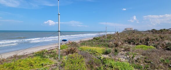
Measuring Surface Currents on the East Coast of Florida with High Frequency Radars
The Florida Institute of Technology and UGA Skidaway Institute of Oceanography recently installed four high frequency radars on the east coast of Florida. These systems measure the speed and direction of ocean currents, which is helpful for search & rescue operations and tracking marine debris.

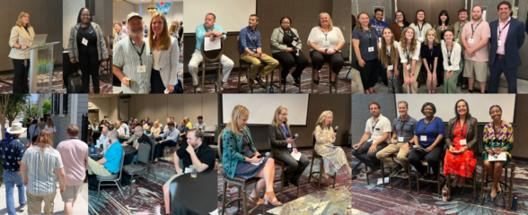
The 2024 SECOORA Annual Meeting: A Huge Success!
The SECOORA Annual Meeting was held in Charleston, South Carolina May 7th - 8th. Thank you to those who attended, we hope to see you again next year!

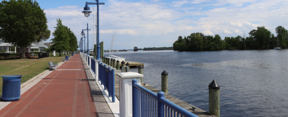
SECOORA Partners with North Carolina Communities to Install New Water Level Sensors
SECOORA has partnered with North Carolina Public Safety, Beaufort County Emergency Services, and the town of Belhaven to install new water level stations in two flood-prone North Carolina communities.